
Hennur Main Road
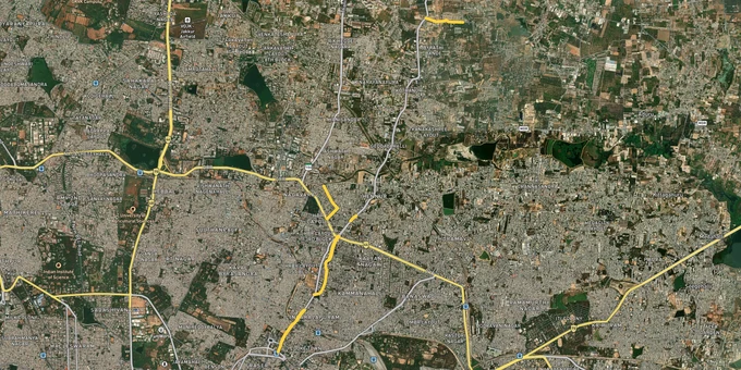

Hennur Main Road Preview
Try the Hennur Main Road on the map
Sign in once and explore the layer for a full day.
- No card details needed
- Find nearby verified lands for sale
Overview
Hennur Main Road land buying has shifted from a budget-friendly punt to a serious north Bengaluru play, but the rules that decide what holds value sit inside the BDA Revised Master Plan 2031. The plan, prepared by the Bangalore Development Authority under the Karnataka Town and Country Planning Act 1961, governs a Local Planning Area of 1,206.97 sq km. Hennur Main Road begins just outside the Outer Ring Road and extends as Hennur Bagalur Main Road toward Kempegowda International Airport. This page maps the legal traps along that stretch, the live micro-markets, and the questions every buyer should answer before any token cheque clears.
Khata Confusion, Lake Buffers and the Layout Sanction That Decides Everything
Two specific risks separate a clean Hennur Main Road plot from a long-running headache. The first is buying a B-Khata property and assuming a bank loan will follow. The second is signing on a layout that sits inside a notified lake or stream buffer where construction is restricted under NGT orders.
The A-Khata B-Khata Bengaluru plot distinction is non-negotiable. A-Khata indicates BBMP-registered ownership with the property tax assessment, BDA layout sanction and building plan approval all reconciled in the A-register. B-Khata only confirms that BBMP receives tax for the parcel but flags it as not fully compliant with applicable layout and building rules. Loans on B-Khata are difficult, building plan approvals are slower, and any future regularisation carries its own cost. Across Hennur Bagalur Road and the Kothanur belt, several layouts originally marketed as ready plots later turned out to be revenue-side B-Khata stock, with banks declining loans at the last stage.
The table below shows the corridor's plot categories and what each actually means for a buyer.
Plot Category
What It Means
Buildable Without Friction?
Common Trap
A-Khata, BDA-approved layout
Fully sanctioned, A-register entry done
Yes, with building plan approval
None, but verify khata extract date
B-Khata
BBMP accepts tax, layout not fully compliant
Limited, bank loans difficult
Sold as "will convert soon" stock
Revenue site, no layout sanction
Outside any sanctioned layout
No
Marketed at "future BDA layout" rates
Inside lake or stream buffer
NGT-notified buffer overlay
Restricted under RMP 2031 Volume 6
Sold without disclosing buffer overlap
Plot Category
What It Means
Buildable Without Friction?
Common Trap
A-Khata, BDA-approved layout
Fully sanctioned, A-register entry done
Yes, with building plan approval
None, but verify khata extract date
B-Khata
BBMP accepts tax, layout not fully compliant
Limited, bank loans difficult
Sold as "will convert soon" stock
Revenue site, no layout sanction
Outside any sanctioned layout
No
Marketed at "future BDA layout" rates
Inside lake or stream buffer
NGT-notified buffer overlay
Restricted under RMP 2031 Volume 6
Sold without disclosing buffer overlap
The lake buffer NGT order Bengaluru framework matters more on this corridor than most realise. RMP 2031 Volume 6 classifies streams as primary, secondary and tertiary, with buffers demarcated as per the orders of the National Green Tribunal. Hennur Lake sits in proximity to several layouts on the corridor. Always pull the sanctioned layout plan, match the survey number against the operative RMP land-use sheet, and confirm the parcel falls outside the NGT-demarcated lake and stream buffers. Anything sold purely on the strength of a developer brochure, without the BDA approval number and the A-Khata reference, is a deal waiting to unwind.
Growth Corridors: Where Metro and Airport Access Drive Returns
The corridor splits into three identifiable bands, each governed by a different layer of the RMP 2031 zoning framework. The inner stretch from Hennur Banaswadi to the Outer Ring Road junction sits inside Planning Zone A, designated as a stabilisation zone that discourages further commercialisation. The mid stretch from ORR through Kothanur and Byrathi Cross falls inside Planning Zone B, the consolidation zone backed by upgraded infrastructure. The outer Hennur Bagalur Road belt reaches into Planning Zone C territory before merging with the airport corridor at NH-44.
The table below summarises the corridor's main investable bands.
Hennur Band
Key Localities
Primary Driver
Risk
Inner Hennur (Zone A)
HRBR Layout, Kalyan Nagar, Hennur, Banaswadi
Manyata Tech Park access (8 km), MG Road 8 km
Density caps under stabilisation zone
Mid Hennur (Zone B)
Kothanur, K Narayanapura, Byrathi Cross, Geddalahalli
Phoenix Elements Mall, Kristu Jayanti College
NGT lake and stream buffer overlay checks
Outer Hennur Bagalur (Zone B to C)
Dodda Gubbi Cross, Avalahalli, Bagalur
Kempegowda International Airport 18 km, NH-44 link
Some pockets on revenue land, B-Khata risk
Hennur Band
Key Localities
Primary Driver
Risk
Inner Hennur (Zone A)
HRBR Layout, Kalyan Nagar, Hennur, Banaswadi
Manyata Tech Park access (8 km), MG Road 8 km
Density caps under stabilisation zone
Mid Hennur (Zone B)
Kothanur, K Narayanapura, Byrathi Cross, Geddalahalli
Phoenix Elements Mall, Kristu Jayanti College
NGT lake and stream buffer overlay checks
Outer Hennur Bagalur (Zone B to C)
Dodda Gubbi Cross, Avalahalli, Bagalur
Kempegowda International Airport 18 km, NH-44 link
Some pockets on revenue land, B-Khata risk
The Blue Line Namma Metro airport corridor is the single biggest connectivity reset on this stretch. The 25.9 km extension from Nagawara via Kannur and Bagaluru emerged as the most popular public choice and is being built as part of the Blue Line, which connects Silk Board through ORR East and the airport. Stations along Hennur, Nagawara and Bagaluru bring Hennur Main Road into direct metro reach for the first time. Current Hennur Main Road property rates sit between ₹3,643 and ₹6,321 per sq ft as of April 2026, with the older Hennur stretch closer to PIN 560084 commanding the highest premiums and the outer Hennur Bagalur Road belt around Kothanur PIN 560077 offering the broadest mid-segment supply.
Kothanur is the most misread address on the corridor. Brokers position every adjacent layout at "Kothanur rate" by leaning on Phoenix Elements Mall and the Thanisandra Main Road feeder. Pockets just beyond Dodda Gubbi Cross, however, sit inside Planning Zone B with infrastructure that is still maturing. The Yelahanka Junction railway station is 10.6 km, the airport is 29 km via NH-44, and the nearest functional metro station, Baiyappanahalli, remains 11 km away until the Blue Line opens. Match the listing's survey number, BDA approval and A-Khata status before assuming inner-Hennur economics apply.
Was this layer helpful?
Anything wrong, outdated, or missing we want to hear it.

Access Survey NumbersAccess Karnataka
Survey Numbers
Boundaries and numbers come from published state cadastral records. See all map layers.
Looking to sell your land in Karnataka?

Browse all verified lands & plots in Karnataka
More Layers in Karnataka
See all 25 layers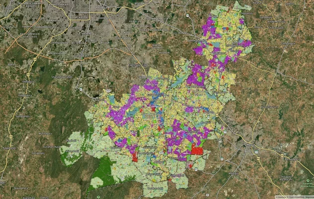
Anekal Masterplan: Zone Check and Land Use Guide
View Anekal Masterplan as a live map overlay – check any plot's land use zone for free on 1acre.in. Anekal masterplan zo...
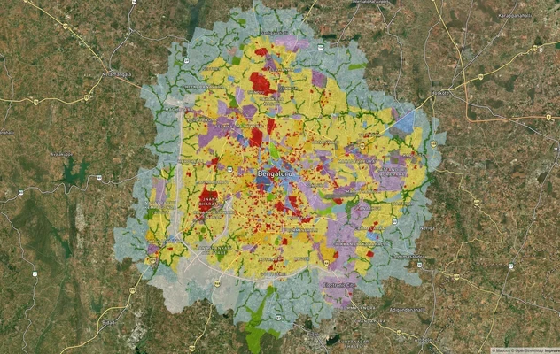
Bengaluru BDA Masterplan 2015
View Bengaluru Masterplan as a live map overlay – check any plot's land use zone for free on 1acre.in. Bengaluru BDA mas...
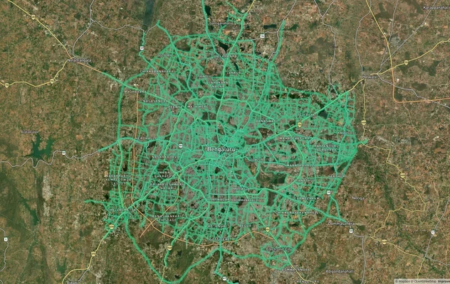
Bengaluru BDA Masterplan Roads: RMP 2015 Road Zones
View Bengaluru Masterplan - Roads alignment as a live map overlay – check road corridor and land impact free on 1acre.in...
More Layers in Karnataka
Anekal Masterplan: Zone Check and Land Use Guide
View Anekal Masterplan as a live map overlay – check any plot's land use zone for free on 1acre.in. Anekal masterplan zo...
Bengaluru BDA Masterplan 2015
View Bengaluru Masterplan as a live map overlay – check any plot's land use zone for free on 1acre.in. Bengaluru BDA mas...
Bengaluru BDA Masterplan Roads: RMP 2015 Road Zones
View Bengaluru Masterplan - Roads alignment as a live map overlay – check road corridor and land impact free on 1acre.in...