Karnataka Survey Number Map: RTC (Pahani), Bhoomi & Dishaank
Overview
In Karnataka, a plot's survey number lives in the RTC (Pahani) on the Bhoomi portal, and the Dishaank app maps it by GPS. Zoom to your land on the map above and its survey-number boundary appears — you don't need to know the number to start.
Below: what the survey number is actually called in Karnataka, which official portal to use for what, and how to find any plot's number by location.
One plot, many names — which one is the ‘survey number’?
Survey Number (ಸರ್ವೆ ನಂಬರ್)
The unique ID for a parcel. A Hissa number identifies a share/sub-division of it.
RTC / Pahani (ಪಹಣಿ)
Record of Rights, Tenancy & Crops — the core land record with survey number, owner, extent and crop. RTC and Pahani are two names for the same document.
Bhoomi
The government portal that issues the RTC / Pahani.
Dishaank
The Survey Settlement & Land Records (SSLR) GPS app that shows a survey-number boundary from where you stand.
Mojini / Tippani / FMB
The survey sketch and field measurement for a survey number.
Mutation (MR)
The record of an ownership change against a survey number.
Which record, which portal — for what
Different tasks need different records and portals. Here is the map.
What you want to do
Record / term
Where — official & free
Find a survey number by location
—
The 1acre map, or the Dishaank GPS app
Get the RTC / Pahani by survey no.
RTC · Pahani
Bhoomi: landrecords.karnataka.gov.in
See the survey sketch
Mojini / FMB
Bhoomi (Mojini)
Check ownership change
Mutation (MR)
Bhoomi
Encumbrance Certificate (title history)
EC
Kaveri Online: kaverionline.karnataka.gov.in
RTC and Pahani are two names for the same Record of Rights. For registration or a loan, use the digitally-signed RTC from Bhoomi or a Nada Kacheri centre — the free view copy is for reference.
The one thing the government portal can't do
Bhoomi asks for the survey number, owner name or account before it shows you anything. 1acre works the other way round: start from the land. Search a village or drop a pin on the plot and the survey-number boundary appears on the map. Then take that number to the official portal for the certified record. Map-first is the search a land buyer actually needs — and no state portal offers it.
Go deeper — free Karnataka record guides
RTC / Pahani in Karnataka
Survey sketch / Mojini
Can't find your survey number on the map? Message us on WhatsApp with your village and survey number and we'll help you locate it.
Was this layer helpful?
Anything wrong, outdated, or missing we want to hear it.
For Land Owners & Agents
Looking to sell your land in Karnataka?
I want to sell my land in Bengaluru
10:32
Plz share your Land's location - We will list it on 1acre map, for Free.
10:32

For Land Buyers
Browse all verified lands & plots in Karnataka
Every listing goes through our Preliminary Verification Process.
More Layers in Karnataka
See all 22 layers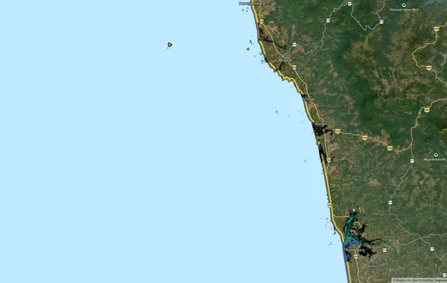
Karnataka CRZ
View Karnataka CRZ alignment as a live map overlay – check land acquisition risk and plot proximity free on 1acre.in.
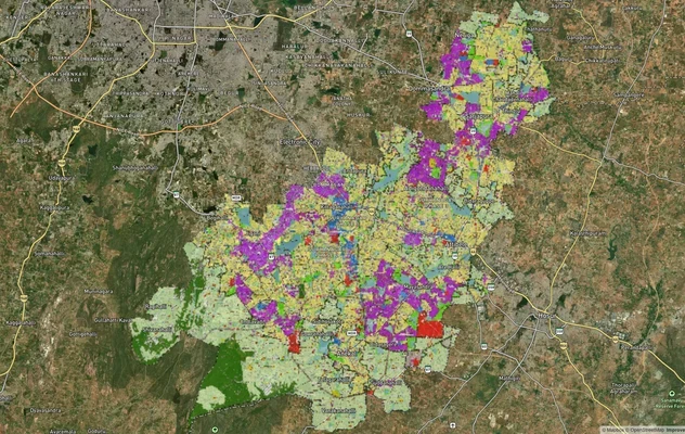
Anekal Masterplan: Zone Check and Land Use Guide
View Anekal Masterplan as a live map overlay – check any plot's land use zone for free on 1acre.in. Anekal masterplan zo...
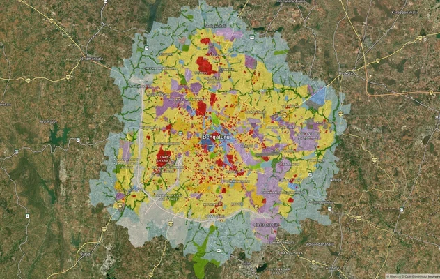
Bengaluru BDA Masterplan 2015
View Bengaluru Masterplan as a live map overlay – check any plot's land use zone for free on 1acre.in. Bengaluru BDA mas...
More Layers in Karnataka
Karnataka CRZ
View Karnataka CRZ alignment as a live map overlay – check land acquisition risk and plot proximity free on 1acre.in.
Anekal Masterplan: Zone Check and Land Use Guide
View Anekal Masterplan as a live map overlay – check any plot's land use zone for free on 1acre.in. Anekal masterplan zo...
Bengaluru BDA Masterplan 2015
View Bengaluru Masterplan as a live map overlay – check any plot's land use zone for free on 1acre.in. Bengaluru BDA mas...