Bengaluru STRR (NH-948A) – Phase Status and Land-Buying Guide
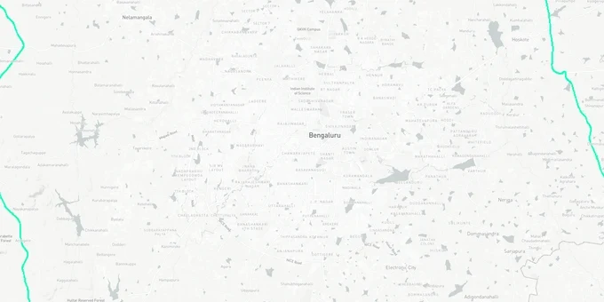
Strr Preview
Try the Bengaluru STRR (NH-948A) – Phase Status and Land-Buying Guide on the map
Sign in once and explore the layer for a full day.
- No card details needed
- Find nearby verified lands for sale
Overview
Bengaluru STRR land buying decisions require knowing which of the three phases is operational, which is legally frozen, and which localities sit inside the 1,019 sq km STRR Planning Authority jurisdiction. The Satellite Town Ring Road (NH-948A) is a 280.8 km access-controlled expressway under NHAI connecting 12 satellite towns under the Bharatmala Pariyojana. Phase 1 (Dobaspete to Hoskote, 80 km) was inaugurated on March 11, 2024 at a combined cost of over ₹2,750 crore (per NHAI award figures; verify against contract notification). Phase 2 is on hold. This page covers what that hold means for plots in and around Kanakapura and Anekal, and which corridors carry verified title and conversion status.
Devanahalli, Hoskote, Doddaballapur and Sarjapur: How STRR Phase Status Affects Plot Decisions
The STRR Planning Authority, set up by the Karnataka government in 2016, covers a planning area of 1,019 sq km across the 12 satellite towns. Within this jurisdiction, layout approvals flow through local planning authorities under BMRDA, including Anekal, Hoskote, Kanakapura, Nelamangala, and Ramanagara, not through Gram Panchayats. For Bengaluru STRR land buying, the approval chain to verify is: DC conversion order, local planning authority layout sanction, and RERA registration for plotted developments with 8 or more plots.
The four corridors with the strongest sourced investment rationale are Devanahalli (north), Hoskote (east), Doddaballapur (north-west), and Sarjapur (south-east). Devanahalli carries airport-led demand from Kempegowda International Airport plus the Aerospace Park and ITIR designation. The NH-44 expansion around Devanahalli links directly to the STRR Phase 1 operational section. Hoskote is the eastern terminus of operational Phase 1 and connects to the Bengaluru-Chennai Expressway (NE-7), making it a logistics and industrial hub. Doddaballapur benefits from both the operational STRR bypass and an established textile industry base. Godrej Properties acquired a 48-acre parcel near the STRR in this belt in 2025 for a plotted residential development with approximately 1.1 million sq ft of development potential. Sarjapur is the south-eastern node: an established IT residential market that gains from STRR decongesting the ORR.
Corridor
STRR Section
Infrastructure & Economic Drivers
Current Approval Route
Key Risk
Devanahalli
Phase 1 (operational)
Airport, Aerospace Park, ITIR
BIAAPA layout approval; BDA for some pockets
Hi-tech zone acquisition risk; check master plan
Hoskote
Phase 1 (operational)
Logistics, Bengaluru-Chennai Expressway, industrial
Hoskote Planning Authority under BMRDA
Agricultural plots without conversion widely marketed
Doddaballapur
Phase 1 (operational)
Textile industry, logistics, Multi-Modal Logistics Park at Dobaspete
BMRDA local planning authority
Revenue sites and Gram Panchayat layouts still common
Sarjapur
Phase 3 (under construction)
IT residential spillover from Whitefield; ORR decongestion
BMRDA, Anekal Planning Authority
Phase 3 completion timeline tied to Bannerghatta clearance
Sarjapur is the most commonly misread corridor. Buyers price Sarjapur plots at STRR-connectivity valuations even though the relevant STRR section (Phase 3 southern package near Attibele and Anekal) is still under construction and the adjacent Phase 2 Bannerghatta section remains on hold. The ORR already serves Sarjapur directly. STRR adds a second connectivity layer once Phase 3 is complete, but that completion depends on resolution of the Bannerghatta clearance issue.
Was this layer helpful?
Anything wrong, outdated, or missing we want to hear it.
For Land Owners & Agents
Looking to sell your land in Karnataka?
I want to sell my land in Bengaluru
10:32
Plz share your Land's location - We will list it on 1acre map, for Free.
10:32

For Land Buyers
Browse all verified lands & plots in Karnataka
Every listing goes through our Preliminary Verification Process.
More Layers in Karnataka
See all 22 layers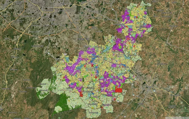
Anekal Masterplan: Zone Check and Land Use Guide
View Anekal Masterplan as a live map overlay – check any plot's land use zone for free on 1acre.in. Anekal masterplan zo...
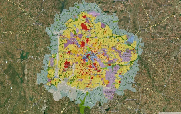
Bengaluru BDA Masterplan 2015
View Bengaluru Masterplan as a live map overlay – check any plot's land use zone for free on 1acre.in. Bengaluru BDA mas...

Bengaluru BDA Masterplan Roads: RMP 2015 Road Zones
View Bengaluru Masterplan - Roads alignment as a live map overlay – check road corridor and land impact free on 1acre.in...
More Layers in Karnataka
Anekal Masterplan: Zone Check and Land Use Guide
View Anekal Masterplan as a live map overlay – check any plot's land use zone for free on 1acre.in. Anekal masterplan zo...
Bengaluru BDA Masterplan 2015
View Bengaluru Masterplan as a live map overlay – check any plot's land use zone for free on 1acre.in. Bengaluru BDA mas...
Bengaluru BDA Masterplan Roads: RMP 2015 Road Zones
View Bengaluru Masterplan - Roads alignment as a live map overlay – check road corridor and land impact free on 1acre.in...