
Magadi Road
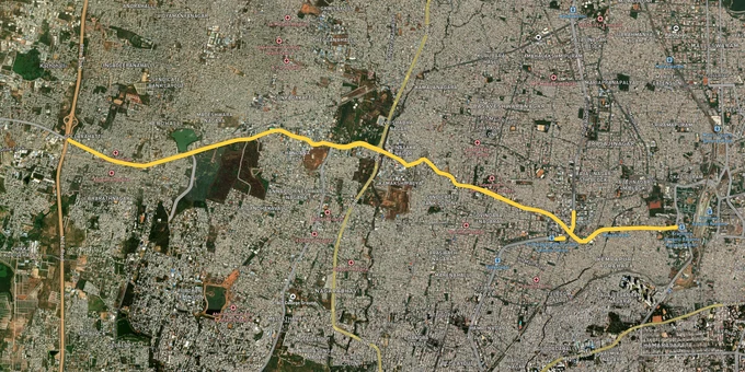

Magadi Road Preview
Try the Magadi Road on the map
Sign in once and explore the layer for a full day.
- No card details needed
- Find nearby verified lands for sale
Overview
Magadi Road Bengaluru land buying sits at the intersection of two stories that rarely get told together. One is the Namma Metro Phase 3 Orange Line, approved by the Union Cabinet on 16 August 2024 at ₹15,611 crore, that runs an elevated viaduct straight down this corridor to the Kadabagere depot. The other is the BDA Revised Master Plan 2031 zone framework, which was withdrawn in July 2020, redrafted, and still has no final notification in 2026. The operative plan remains RMP 2015. This page covers the documents you actually need, the corridors that carry real upside, and the traps that have swallowed thousands of buyers along this stretch.
Revenue Site DC Conversion and the A-Khata B-Khata Trap on Magadi Road
The single most expensive mistake on this corridor is buying a revenue site without DC conversion. Under the Karnataka Land Revenue Act, agricultural land used for residential construction without a Deputy Commissioner's conversion order is illegal. The plot may register at the sub-registrar through informal channels, but it cannot host a sanctioned building, cannot receive a BBMP or GBA building plan approval, and cannot secure a home loan from any nationalised bank. The discount looks attractive until the second buyer asks for paperwork. Then the discount becomes the loss.
A-Khata B-Khata verification is the second layer of the same trap. An A-Khata signals the property is recognised in the municipal register, taxes are paid, and the site is eligible for building plan sanction, water connection, and bank financing. A B-Khata signals the property exists in revenue records but does not meet the legal standards for full municipal recognition. B-Khata properties are not eligible for fresh building plans and cannot be redeveloped without first converting to A-Khata, which itself requires DC conversion, layout regularisation, and payment of betterment charges. Many Magadi Road sellers present a B-Khata as proof of ownership. It is proof of nothing more than tax payment.
The Greater Bengaluru Authority took over from BBMP on 2 September 2025, and the khata scandal that followed should be on every buyer's radar. In December 2025, the GBA suspended officials of the Begur division for issuing illegal khata certificates to unauthorised layouts. That was the first disciplinary action of its kind. It will not be the last. A khata in your hand is no longer enough on its own.
Document
What It Proves
What It Does Not Prove
DC Conversion Order
Land legally usable for non-agricultural purposes
Layout approval, building sanction, utility eligibility
A-Khata
Municipal recognition, tax eligibility, loan eligibility
Title clarity, encumbrance status
B-Khata
Revenue entry, tax payment
Construction rights, redevelopment rights
BDA / Planning Authority Approval
Layout sanctioned for residential use
Individual plot title
Encumbrance Certificate (30 years)
Charge and mortgage history
Physical possession or boundary accuracy
Document
What It Proves
What It Does Not Prove
DC Conversion Order
Land legally usable for non-agricultural purposes
Layout approval, building sanction, utility eligibility
A-Khata
Municipal recognition, tax eligibility, loan eligibility
Title clarity, encumbrance status
B-Khata
Revenue entry, tax payment
Construction rights, redevelopment rights
BDA / Planning Authority Approval
Layout sanctioned for residential use
Individual plot title
Encumbrance Certificate (30 years)
Charge and mortgage history
Physical possession or boundary accuracy
If a Magadi Road seller cannot produce all five documents above, walk away. The BDA's own published list flagged 172 unauthorised layouts within its jurisdiction in 2024, and BMRDA has tagged over 400 illegal layouts across the metropolitan region, including pockets along the Magadi planning authority belt. Counting the wider region, Bengaluru carries more than 3,000 informal layouts marketed as if they were approved. The Magadi corridor sits squarely inside that risk zone.
Namma Metro Phase 3 Orange Line and the Kadabagere Depot Corridor
The Magadi Road appreciation thesis rests on a single physical event: the elevated Orange Line of Namma Metro Phase 3, targeted for completion by 2029. This is the Kadabagere depot corridor running from JP Nagar Phase 4 to Kempapura via Magadi Road. BMRCL began geotechnical soil investigation work on Magadi Road in the first half of 2024, identified 1,29,743 square metres of private land across 777 properties for acquisition, and earmarked 75 acres at Byadarahalli near the police station for the Kadabagere depot itself. The corridor will be entirely elevated, will use a double-decker viaduct in places, and will require roughly 25 percent more land for stations than originally planned because of design adjustments.
The investable stretches are not uniform. The table below splits the corridor into three sub-zones with very different risk profiles.
Sub-Corridor
Metro Station Proximity
Status Under RMP 2015
Live Risk
Toll Gate to Hosahalli
Within 500 m of operational Purple Line stations
Residential and mixed use, sanctioned
High-density redevelopment, FAR limits
Hosahalli to Sumanahalli
Phase 3 alignment confirmed, land acquisition active
Mixed residential, partly RMP 2031 draft zoning
Acquisition uncertainty, frozen building plans
Sumanahalli to Kadabagere
Depot footprint, future stations under design
Mostly green belt and agricultural under RMP 2015
Revenue sites, fake BMRDA approval claims
Sub-Corridor
Metro Station Proximity
Status Under RMP 2015
Live Risk
Toll Gate to Hosahalli
Within 500 m of operational Purple Line stations
Residential and mixed use, sanctioned
High-density redevelopment, FAR limits
Hosahalli to Sumanahalli
Phase 3 alignment confirmed, land acquisition active
Mixed residential, partly RMP 2031 draft zoning
Acquisition uncertainty, frozen building plans
Sumanahalli to Kadabagere
Depot footprint, future stations under design
Mostly green belt and agricultural under RMP 2015
Revenue sites, fake BMRDA approval claims
The most misunderstood part of this corridor is Sumanahalli to Kadabagere. The metro alignment is published, the depot land is identified, but the surrounding land use under the operative RMP 2015 plan is still green belt and agricultural in large stretches. Brokers sell these plots as future urban land on the strength of metro proximity. That is not how zoning works. Until the BDA Revised Master Plan 2031 zone notification reclassifies these parcels, or a sanctioned layout secures DC conversion, the plot remains agricultural. A metro station 800 metres away does not change the deed. The metro changes the price expectation, not the legal status. Buy on the basis of present-day zoning, not on what a future plan might say.
The other corridor-specific concern is acquisition itself. BMRCL has identified 777 properties for compulsory purchase along Phase 3. If your plot sits inside that footprint, the compensation will be calculated under the Karnataka Land Acquisition framework, not the open-market rate the broker quoted. Verify the alignment overlay before signing. The maps are public.
Was this layer helpful?
Anything wrong, outdated, or missing we want to hear it.

Access Survey NumbersAccess Karnataka
Survey Numbers
Boundaries and numbers come from published state cadastral records. See all map layers.
Looking to sell your land in Karnataka?

Browse all verified lands & plots in Karnataka
More Layers in Karnataka
See all 25 layers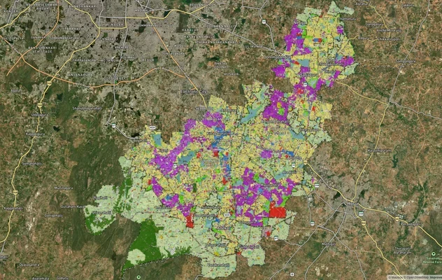
Anekal Masterplan: Zone Check and Land Use Guide
View Anekal Masterplan as a live map overlay – check any plot's land use zone for free on 1acre.in. Anekal masterplan zo...
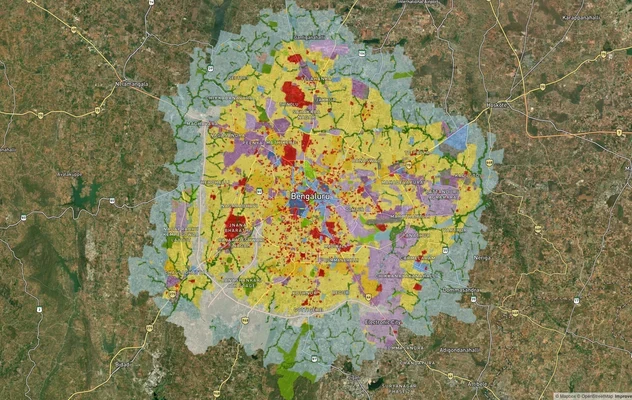
Bengaluru BDA Masterplan 2015
View Bengaluru Masterplan as a live map overlay – check any plot's land use zone for free on 1acre.in. Bengaluru BDA mas...
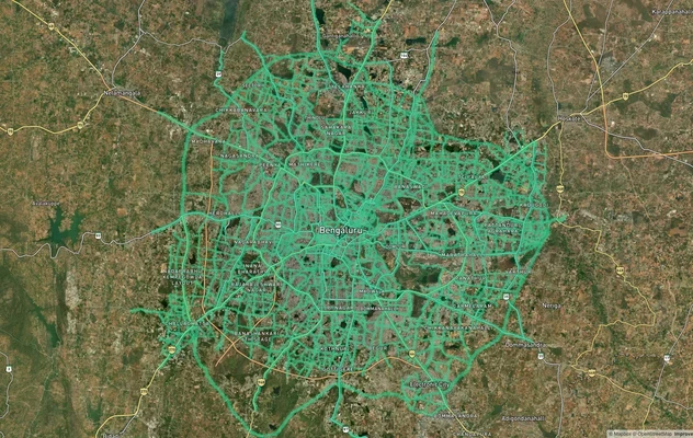
Bengaluru BDA Masterplan Roads: RMP 2015 Road Zones
View Bengaluru Masterplan - Roads alignment as a live map overlay – check road corridor and land impact free on 1acre.in...
More Layers in Karnataka
Anekal Masterplan: Zone Check and Land Use Guide
View Anekal Masterplan as a live map overlay – check any plot's land use zone for free on 1acre.in. Anekal masterplan zo...
Bengaluru BDA Masterplan 2015
View Bengaluru Masterplan as a live map overlay – check any plot's land use zone for free on 1acre.in. Bengaluru BDA mas...
Bengaluru BDA Masterplan Roads: RMP 2015 Road Zones
View Bengaluru Masterplan - Roads alignment as a live map overlay – check road corridor and land impact free on 1acre.in...