
Hassan-Hiriyur Expressway


Hassan_hiriyur_expressway Preview
Try the Hassan-Hiriyur Expressway on the map
Sign in once and explore the layer for a full day.
- No card details needed
- Find nearby verified lands for sale
Overview
The Hassan Hiriyur expressway land buying picture centers on a project that is part of something much larger than its own 114 km. The Hassan-Hiriyur National Highway, designated EC-20, runs 114 kilometres at a project cost of Rs 3,747 crore, requiring 750 hectares of land acquisition at a cost of Rs 1,354 crore, with three cloverleaf or half-cloverleaf interchanges planned along the route. This standalone stretch is in fact the western segment of a much longer corridor: the 444 km Hassan-Raichur Economic Corridor, an NHAI-approved four-lane access-controlled road connecting Hassan, Huliyar, Hiriyur, Ballari, and Raichur across Karnataka, Andhra Pradesh, and Telangana, built under Bharatmala Pariyojana Lot 5, Package 3 to improve freight movement and boost export connectivity via port access. This page covers the land acquisition scale, the villages and towns along the alignment, and what buyers should verify before purchasing near this corridor.
Regulatory Red Flags: Land Acquisition Scale and Forest Sensitivity
This is a genuinely large land acquisition exercise, not a modest road-widening project, and the numbers reflect that. 750 hectares of land acquisition, at a cost of Rs 1,354 crore, is required for the 114 km Hassan-Hiriyur stretch alone, a scale that touches numerous villages across Hassan and Chitradurga districts.
Here's what the broader corridor and regional context tells buyers about the kind of scrutiny land near this alignment can expect:
Factor
Detail
Buyer Implication
Project structure
4-lane, 70-metre-wide greenfield road under Bharatmala
Wide right-of-way means a larger acquisition footprint than a standard state highway
Corridor context
3 cloverleaf/half-cloverleaf interchanges planned
Interchange zones typically see disproportionate commercial and speculative interest
Regional forest sensitivity
A separate but nearby NHAI project (NH-173, Chitradurga-Mangaluru) required diversion of over 60 hectares of forest land across Hassan and neighbouring districts, facing conservationist objections
Confirms Hassan district infrastructure projects broadly face real forest and environmental review, even when the Hassan-Hiriyur route itself is not directly forested
Factor
Detail
Buyer Implication
Project structure
4-lane, 70-metre-wide greenfield road under Bharatmala
Wide right-of-way means a larger acquisition footprint than a standard state highway
Corridor context
3 cloverleaf/half-cloverleaf interchanges planned
Interchange zones typically see disproportionate commercial and speculative interest
Regional forest sensitivity
A separate but nearby NHAI project (NH-173, Chitradurga-Mangaluru) required diversion of over 60 hectares of forest land across Hassan and neighbouring districts, facing conservationist objections
Confirms Hassan district infrastructure projects broadly face real forest and environmental review, even when the Hassan-Hiriyur route itself is not directly forested
While the Hassan-Hiriyur alignment itself runs primarily through agricultural and rural terrain rather than protected forest, the broader pattern in Hassan district is worth noting: a related NHAI highway project connecting Chitradurga to Mangaluru through Hassan district drew formal objections from conservationists across three districts and required a Detailed Project Report seeking diversion of forest land that the Karnataka Forest Department initially returned as incomplete. That history signals Hassan's infrastructure corridors, even ones not directly crossing forest, tend to draw regulatory attention that can affect adjacent clearances and timelines. Buyers should confirm the specific land-use classification of any parcel near the Hassan-Hiriyur route independently, rather than assuming a rural stretch means a straightforward, unencumbered clearance process.
Growth Corridors: Huliyar, Hiriyur, and the Chitradurga Link
The route this expressway follows already carries real commuter and freight traffic today, on a road network most locals know well. The existing route runs from Hassan through Channarayapatna, Bellur Cross, Turuvekere, KB Cross, Huliyar, and Hiriyur before reaching Chitradurga, a corridor that already functions as a practical connector between Hassan and Chitradurga districts, well before this greenfield upgrade formalizes it into a four-lane access-controlled expressway.
Node
Current Role
Expressway Impact
Hassan
Corridor origin and district headquarters of Hassan
Serves as the anchor point, connecting the expressway to the wider Hassan–Raichur Economic Corridor and strengthening westward connectivity.
Huliyar
Mid-route town in Chikkanayakanahalli Taluk, Tumakuru District
Functions as a key junction where the Hassan–Hiriyur alignment connects with the existing SH-102, improving regional accessibility.
Hiriyur
Corridor terminus for this segment in Chitradurga District
Acts as the continuation point toward Ballari and Raichur along the broader EC-20 corridor, enabling seamless onward connectivity.
Node
Current Role
Expressway Impact
Hassan
Corridor origin and district headquarters of Hassan
Serves as the anchor point, connecting the expressway to the wider Hassan–Raichur Economic Corridor and strengthening westward connectivity.
Huliyar
Mid-route town in Chikkanayakanahalli Taluk, Tumakuru District
Functions as a key junction where the Hassan–Hiriyur alignment connects with the existing SH-102, improving regional accessibility.
Hiriyur
Corridor terminus for this segment in Chitradurga District
Acts as the continuation point toward Ballari and Raichur along the broader EC-20 corridor, enabling seamless onward connectivity.
Huliyar in particular sits at a genuine crossroads: it already anchors State Highway 102, a 149.20 km road connecting it to Keralapura in Hassan district, meaning the new greenfield expressway will overlay onto a town that already functions as a regional junction rather than introducing connectivity to an isolated node.
That existing junction status typically means land near Huliyar has some baseline commercial activity already, which can make it harder to distinguish genuine expressway-driven appreciation from pre-existing local demand. As with any Bharatmala-linked greenfield corridor, land closest to a planned cloverleaf interchange tends to see the fastest and most speculative price movement, so buyers should confirm the exact interchange locations against the official alignment before assuming proximity benefits apply to a specific parcel.
Was this layer helpful?
Anything wrong, outdated, or missing we want to hear it.

Access Survey NumbersAccess Karnataka
Survey Numbers
Boundaries and numbers come from published state cadastral records. See all map layers.
Looking to sell your land in Karnataka?

Browse all verified lands & plots in Karnataka
More Layers in Karnataka
See all 26 layers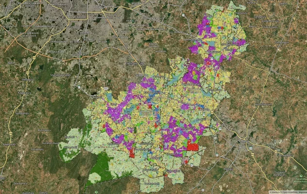
Anekal Masterplan: Zone Check and Land Use Guide
View Anekal Masterplan as a live map overlay – check any plot's land use zone for free on 1acre.in. Anekal masterplan zo...
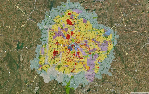
Bengaluru BDA Masterplan 2015
View Bengaluru Masterplan as a live map overlay – check any plot's land use zone for free on 1acre.in. Bengaluru BDA mas...
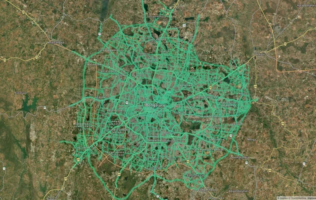
Bengaluru BDA Masterplan Roads: RMP 2015 Road Zones
View Bengaluru Masterplan - Roads alignment as a live map overlay – check road corridor and land impact free on 1acre.in...
More Layers in Karnataka
Anekal Masterplan: Zone Check and Land Use Guide
View Anekal Masterplan as a live map overlay – check any plot's land use zone for free on 1acre.in. Anekal masterplan zo...
Bengaluru BDA Masterplan 2015
View Bengaluru Masterplan as a live map overlay – check any plot's land use zone for free on 1acre.in. Bengaluru BDA mas...
Bengaluru BDA Masterplan Roads: RMP 2015 Road Zones
View Bengaluru Masterplan - Roads alignment as a live map overlay – check road corridor and land impact free on 1acre.in...