
Mysuru-Kushalnagara Expressway


Mysuru Kushalnagara Expressway Preview
Try the Mysuru-Kushalnagara Expressway on the map
Sign in once and explore the layer for a full day.
- No card details needed
- Find nearby verified lands for sale
Overview
Mysuru Kushalnagara Expressway land acquisition covers the 92.3 km greenfield stretch of NH-275, running from Guddehosur near Kushalnagar to Srirangapatna, where it links up with the Bengaluru-Mysuru Expressway. Mysuru-Kushalnagara Expressway is a live on 1acre. The Rs 4,126-crore, four-lane project is being built in four to five construction packages under Bharatmala Pariyojana, with land acquisition now in its final phase across most packages. This page covers the wildlife clearance the project needed, the separate and far more restrictive land conversion regime that governs Kodagu district itself, and where growth is concentrating along the route.
NBWL Clearance and Kodagu's Separate Land Conversion Ban
The corridor's Package 2, from Basavanahalli to Periyapatna, only received clearance to begin work after the National Board for Wildlife's standing committee approved the alignment, since the route runs adjacent to sensitive forest tracts near Kodagu. As of the latest project update, land acquisition has reached its final phase: 98% complete for Packages 2 and 3, 97% for Package 4, and 96% for Package 5, out of nearly 560.4 acres required overall.
But land acquisition for the highway is only one part of the picture for anyone eyeing property along this corridor. Kodagu district, where the highway terminates, operates under one of Karnataka's most restrictive land conversion regimes, a legacy of the catastrophic 2018 floods and landslides.
NBWL Clearance and Kodagu's Separate Land Conversion Ban
Restriction
What It Covers
Current Status
Blanket conversion ban (2018)
All agricultural-to-non-agricultural conversion in Kodagu
Lifted in stages since 2019, with conditions
Commercial conversion ban
Jamma bane, sagu land, paddy fields, coffee plantations
Still banned by Karnataka High Court order under the Karnataka Land Revenue Act, 1964
Individual house conversion
Up to 20 cents in non-vulnerable zones
Permitted, subject to Deputy Commissioner and geologist committee review
Buffer zones
10 metres on each side of rivers, streams, storm water drains
Conversion prohibited regardless of purpose
Restriction
What It Covers
Current Status
Blanket conversion ban (2018)
All agricultural-to-non-agricultural conversion in Kodagu
Lifted in stages since 2019, with conditions
Commercial conversion ban
Jamma bane, sagu land, paddy fields, coffee plantations
Still banned by Karnataka High Court order under the Karnataka Land Revenue Act, 1964
Individual house conversion
Up to 20 cents in non-vulnerable zones
Permitted, subject to Deputy Commissioner and geologist committee review
Buffer zones
10 metres on each side of rivers, streams, storm water drains
Conversion prohibited regardless of purpose
The Karnataka High Court has specifically ruled that a No Objection Certificate issued by the Deputy Commissioner-headed technical committee should not be treated as permission to convert agricultural land for non-agricultural purposes, a distinction many buyers miss. Kodagu also has direct precedent for enforcement: the state government has previously suspended village accountants, revenue inspectors and tahsildars for facilitating illegal agricultural land sales to non-agriculturists in violation of the Karnataka Land Revenue Act. Before treating any Kodagu land near this expressway as ready for commercial development, confirm current NOC status directly with the Deputy Commissioner's office, verify the land isn't classified as jamma bane, sagu, paddy or coffee plantation land, and check whether it sits inside a red-alert or buffer zone as per the Geological Survey of India's post-2018 assessment.
Where the Corridor's Growth Is Concentrating
The expressway is designed to cut Bengaluru-Kushalnagar travel time from five hours to 2.5 hours and bypass four towns entirely: Hunsur, Periyapatna (19.95 km bypass), Kushalnagar (12.2 km bypass), and Suntikoppa (3.4 km bypass).
Where the Corridor's Growth Is Concentrating
Node
Growth Driver
Known Risk
Kushalnagar (Guddehosur end)
Corridor terminus, entry point to Kodagu district
Subject to Kodagu's separate, stricter land conversion regime
Periyapatna / Hunsur
Bypass towns along the alignment
NHAI notes alignment mostly passes through agricultural and dry lands here
Srirangapatna
Links directly to the operational Bengaluru-Mysuru Expressway
Mature junction; less speculative upside than newer bypass towns
Mysuru city periphery
Decongestion benefit; heavy traffic diverted away from urban roads
Indirect beneficiary rather than a direct corridor node
Node
Growth Driver
Known Risk
Kushalnagar (Guddehosur end)
Corridor terminus, entry point to Kodagu district
Subject to Kodagu's separate, stricter land conversion regime
Periyapatna / Hunsur
Bypass towns along the alignment
NHAI notes alignment mostly passes through agricultural and dry lands here
Srirangapatna
Links directly to the operational Bengaluru-Mysuru Expressway
Mature junction; less speculative upside than newer bypass towns
Mysuru city periphery
Decongestion benefit; heavy traffic diverted away from urban roads
Indirect beneficiary rather than a direct corridor node
NHAI has stated that the alignment through the Mysuru side mostly passes through agricultural and dry lands, which it says minimises social and environmental impact and is expected to increase demand for residential, commercial and industrial space along the route. That framing applies cleanly to the Mysuru-side stretch through Hunsur and Periyapatna. It applies much less cleanly once the corridor reaches Kushalnagar and enters Kodagu district proper, where the land conversion ban, buffer zone rules and coffee-plantation protections mean "agricultural land near a new highway" does not automatically translate into buildable commercial or residential land. Treat the two ends of this corridor as genuinely different investment propositions.
Was this layer helpful?
Anything wrong, outdated, or missing we want to hear it.

Access Survey NumbersAccess Karnataka
Survey Numbers
Boundaries and numbers come from published state cadastral records. See all map layers.
Looking to sell your land in Karnataka?

Browse all verified lands & plots in Karnataka
More Layers in Karnataka
See all 26 layers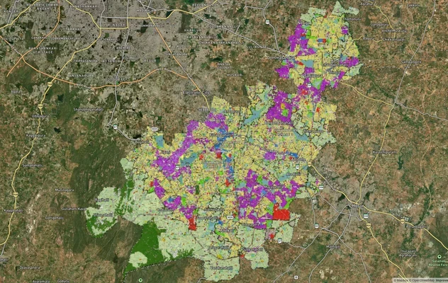
Anekal Masterplan: Zone Check and Land Use Guide
View Anekal Masterplan as a live map overlay – check any plot's land use zone for free on 1acre.in. Anekal masterplan zo...
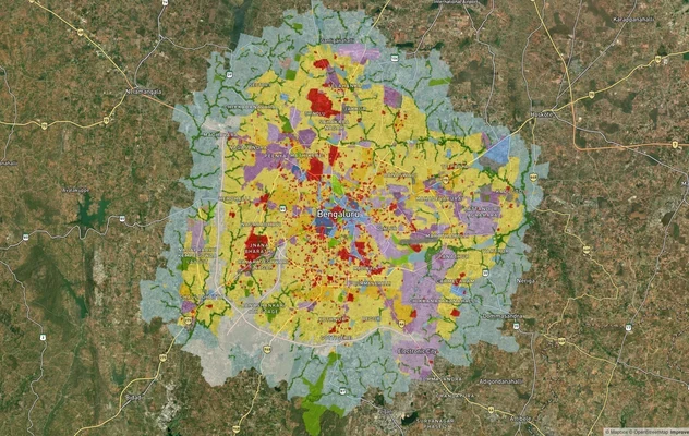
Bengaluru BDA Masterplan 2015
View Bengaluru Masterplan as a live map overlay – check any plot's land use zone for free on 1acre.in. Bengaluru BDA mas...
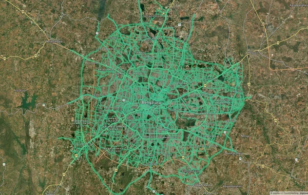
Bengaluru BDA Masterplan Roads: RMP 2015 Road Zones
View Bengaluru Masterplan - Roads alignment as a live map overlay – check road corridor and land impact free on 1acre.in...
More Layers in Karnataka
Anekal Masterplan: Zone Check and Land Use Guide
View Anekal Masterplan as a live map overlay – check any plot's land use zone for free on 1acre.in. Anekal masterplan zo...
Bengaluru BDA Masterplan 2015
View Bengaluru Masterplan as a live map overlay – check any plot's land use zone for free on 1acre.in. Bengaluru BDA mas...
Bengaluru BDA Masterplan Roads: RMP 2015 Road Zones
View Bengaluru Masterplan - Roads alignment as a live map overlay – check road corridor and land impact free on 1acre.in...