Warangal - Khammam Expressway
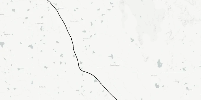
Warangal Khammam Expressway Preview
Try the Warangal - Khammam Expressway on the map
Sign in once and explore the layer for a full day.
- No card details needed
- Find nearby verified lands for sale
Overview
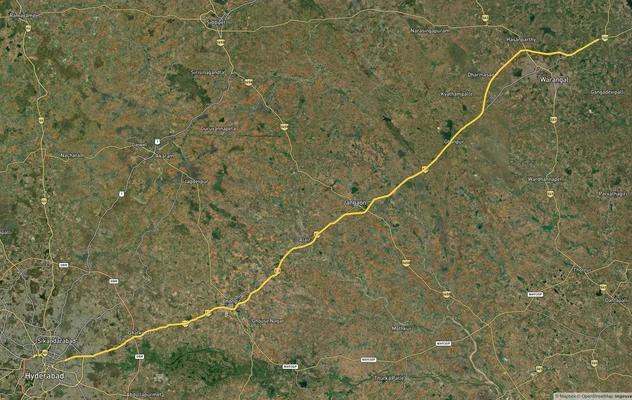
The Warangal Khammam Expressway is the 119 km four-laning of the Warangal-Khammam section of NH-563, including a Warangal bypass that connects NH-563 with NH-163. It is the southern leg of the 248.83 km NH-563 corridor running Jagtial-Karimnagar-Warangal-Khammam entirely within Telangana. Ministry of Road Transport and Highways (MoRTH) invited tenders for DPR consultancy, with the parallel Karimnagar-Warangal section (67.6 km) sanctioned at Rs 2,146.86 crore and under construction by Dilip Buildcon Ltd. The Warangal-Khammam stretch crosses Hanumakonda, Warangal, Mahabubabad, and Khammam districts. This page plots the alignment as published in NHAI (National Highways Authority of India) documents.
Regulatory Red Flags Around 3A/3D Notifications and Dharani Pattadar Mismatches
Land acquisition Section 3A 3D notifications under the National Highways Act 1956 are the only legal trigger that fixes a parcel inside the alignment. Anything sold to you on the basis of a "DPR map" or a "proposed alignment" without 3A/3D publication offers no compensation entitlement. Telangana adds a specific layer: every land transaction must reflect on the Dharani portal's ROR-IB. If the seller's pattadar passbook is not updated post-mutation, the NHAI award will go to the registered Dharani owner of record, not to you.
The fact-pack on what each acquisition stage permits, drawn from NH Act 1956 and NHAI procedure.
Acquisition Stage
What It Means
Can Land Be Sold?
Compensation Trigger?
Commonly Misrepresented?
Pre-DPR / Tender
NHAI surveying alignment options
Yes, freely
No
Sold as "guaranteed alignment"
DPR finalised
Alignment fixed in report
Yes; price premium begins
No
Sold at 3-5x with no notification
Section 3A notified
Intent to acquire published in Gazette
Restricted; transactions risky
Triggers competent authority hearings
"Almost notified" framing used
Section 3D notified
Final acquisition declared
No; vests in NHAI
Yes, under NHAI award
Plot already government property
Award published
Compensation amount fixed
No
Compensation paid to owner of record
Late entrants chase original owners
Possession taken
NHAI takes physical possession
No
Already determined
Squatters claim "occupant" status
The Telangana-specific trap is the Warangal bypass NH-163 connector alignment. Because the bypass connects two national highways at a junction, broker sales are clustered in 8-10 villages around Hanumakonda and Khila Warangal where the bypass is rumoured to land. Most of these parcels have no published 3A notification yet. Verify the survey number on Bhoomi Rashi portal before signing. If the pattadar passbook on Dharani does not match the seller's name on the agreement, walk away.
Growth Corridors From Warangal to Khammam Across the Mahabubabad Belt
The expressway is a 119 km access-controlled four-lane highway upgrade from Warangal to Khammam, with a separate Warangal bypass adding the NH-163 link. The route passes Narsampet, Mahabubabad, and Maripeda before approaching Khammam near the Godavari basin. Demand is concentrated within 2-5 km of proposed interchanges, with Mahabubabad and Maripeda becoming the new speculative belt under Bharatmala Pariyojana Telangana plans.
The corridors most asked about, mapped against the NH-563 alignment.
Corridor / Locality
District
Project Section
Investment Driver
Hanumakonda, Khila Warangal
Hanumakonda
Warangal bypass start
NH-163 junction, WUDA influence
Kazipet, Hasanparthy
Hanumakonda
Bypass alignment
Industrial-residential mix
Narsampet
Warangal
Greenfield + brownfield mix
Mid-section interchange demand
Thorrur, Nellikudur
Mahabubabad
Brownfield upgrade
Approved NH connector to Kothagudem
Mahabubabad town
Mahabubabad
Town bypass
Tribal belt, ITDA jurisdiction
Maripeda
Mahabubabad
NH-365 junction
Cross-corridor freight node
Khammam outskirts
Khammam
NH-365A endpoint
NH-365BG Khammam-Devarapalli link
The most misunderstood corridor is the Narsampet Mahabubabad Maripeda corridor. Buyers see four-laning brochures and assume blanket appreciation. Mahabubabad has a significant scheduled tribe population, and parcels in tribal sub-plan villages are restricted to non-tribal buyers under Andhra Pradesh Land Transfer Regulation 1 of 70 (which Telangana inherited) in agency areas. The Warangal-Khammam alignment passes the edge of ITDA (Integrated Tribal Development Agency) Eturnagaram jurisdiction. If the seller cannot produce a non-agency certificate from the MRO (Mandal Revenue Officer), the sale agreement is unenforceable regardless of price.
Was this layer helpful?
Anything wrong, outdated, or missing we want to hear it.
For Land Owners & Agents
Looking to sell your land in Telangana?
I want to sell my land in Telangana
10:32
Plz share your Land's location - We will list it on 1acre map, for Free.
10:32

For Land Buyers
Browse all verified lands & plots in Telangana
Every listing goes through our Preliminary Verification Process.
More Layers in Telangana
See all 22 layers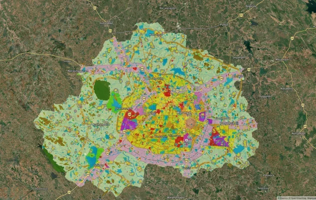
Warangal Masterplan: WUDA Zone Check and Land Use Guide
View Warangal Masterplan as a live map overlay – check any plot's land use zone for free on 1acre.in. Warangal KUDA mast...
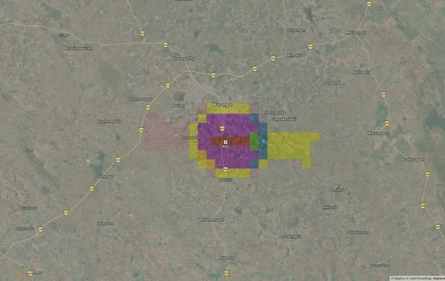
Warangal Highway - NH-163
View the Warangal Highway - NH-163 corridor on a live map overlay – check zoning, approvals and acquisition risk free on...
Warangal Air Funnel Zones: Building Height Restrictions
View Warangal Air Funnel Zones on a live map – check height clearance restrictions on any plot for free on 1acre.in. War...
More Layers in Telangana
Warangal Masterplan: WUDA Zone Check and Land Use Guide
View Warangal Masterplan as a live map overlay – check any plot's land use zone for free on 1acre.in. Warangal KUDA mast...
Warangal Highway - NH-163
View the Warangal Highway - NH-163 corridor on a live map overlay – check zoning, approvals and acquisition risk free on...
Warangal Air Funnel Zones: Building Height Restrictions
View Warangal Air Funnel Zones on a live map – check height clearance restrictions on any plot for free on 1acre.in. War...