
Gadchiroli-Mancherial Highway


Gadchiroli Mancherial Highway Preview
Try the Gadchiroli-Mancherial Highway on the map
Sign in once and explore the layer for a full day.
- No card details needed
- Find nearby verified lands for sale
Overview
The Gadchiroli Mancherial Highway is a proposed 150 km, 4-lane greenfield access-controlled corridor from Bellampalle on NH-363 in Mancherial district (Telangana) to Gadchiroli on NH-353C (Maharashtra), forming a critical link of the 568 km Hyderabad-Raipur Economic Corridor budgeted at ₹45,000 crore.
The Union Ministry approved and notified an aerial survey for the 63 km Telangana section in January 2023 under Bharatmala Pariyojana, though environmental clearance was deferred over forest and tiger reserve impact.
This page covers what the alignment does to Mancherial and Asifabad land, the Scheduled Area transfer bar, and the checks buyers must run before signing.
Dharani Portal Pattadar Passbook Check and the LTR 1959 Scheduled Areas Overlay
Two independent rulebooks decide every transaction on this corridor. First, every plot in Telangana must be pulled from the Dharani portal at dharani.telangana.gov.in as a Pattadar Passbook and Record of Rights (RoR).
No Dharani record, no clean transfer. Second, large parts of Mancherial and Kumram Bheem Asifabad districts fall under the Fifth Schedule Agency areas, where the AP Scheduled Areas Land Transfer Regulation 1 of 1959 (still applicable to Telangana) bars sale of tribal land to non-tribals.
That single fact voids many "expressway-adjacent" listings.
The table below shows the document stack every buyer must verify along the alignment.
Dharani Portal Pattadar Passbook Check and the LTR 1959 Scheduled Areas Overlay
Document / Register
What It Confirms
Where to Verify
Common Trap
Dharani Pattadar Passbook
Ownership and extent
Dharani portal (Telangana)
Old passbook without mutation
ROR (Record of Rights)
Legal title chain
Dharani + Tahsildar office
Non-Dharani sale deed
NHAI 3(A) / 3(D) notification
Highway acquisition strip
RDO / District Collector file
Sold as farmland already notified
Scheduled Area status
Fifth Schedule classification
ITDA / Collector office
Non-tribal sale in Agency area
Section 22-A (POB) entry
Prohibited property register
CCLA POB register
Registered land later found on POB
LTR 1959 endorsement
Transfer eligibility
Sub-Collector
Missing endorsement voids the sale
If the seller cannot show a current Dharani Pattadar Passbook, a matching ROR, and a written Scheduled Area status certificate for the survey number, treat the plot as unbuyable. A registered sale deed on Section 22-A prohibited land is void from day one, and the Sub-Registrar office in Telangana refuses registration once the survey number is flagged.
Growth Corridors from Bellampalli Annaram to Veeravelli and Gadchiroli
The 63 km Telangana section runs from Annaram near Bellampalli in Mancherial district, through Veeravelli in Kumram Bheem Asifabad district, to the Maharashtra border, continuing 86 km further through Chandrapur and Gadchiroli districts to Gadchiroli town. That two-district Telangana routing puts almost the entire corridor inside or adjacent to Fifth Schedule Agency tracts, which decides which pockets are transactable and which are not.
The table below sorts the notable localities along the Mancherial Kumram Bheem Asifabad districts corridor.
Growth Corridors from Bellampalli Annaram to Veeravelli and Gadchiroli
Corridor / Locality
District
Growth Driver
Known Risk
Mancherial town
Mancherial
NH-363 junction, Bellampalli entry
Urban plots outside Agency, Dharani checks required
Bellampalli, Annaram
Mancherial
Corridor start point
Coal-bearing land classification
Ramagundam side
Peddapalli (adjacent)
Brownfield NH-363 upgrade
Old encumbrance on colliery land
Veeravelli
Kumram Bheem Asifabad
Mid-corridor Agency belt
LTR 1959 bar on non-tribal purchase
Asifabad town
Kumram Bheem Asifabad
District HQ, feeder access
Mixed Agency and non-Agency mandals
MH/TL border, Sironcha side
Adjacent Maharashtra
Cross-border logistics
Forest and tiger reserve buffer
The most misread pocket is Veeravelli and the Agency belt around Kumram Bheem Asifabad. Buyers assume proximity to an approved national highway automatically justifies a price, but the LTR 1959 bar overrides any highway alignment.
Even a Dharani passbook in a non-tribal buyer's name inside a Scheduled Area does not create a valid title. Confirm Agency status on the ITDA record before releasing any advance.
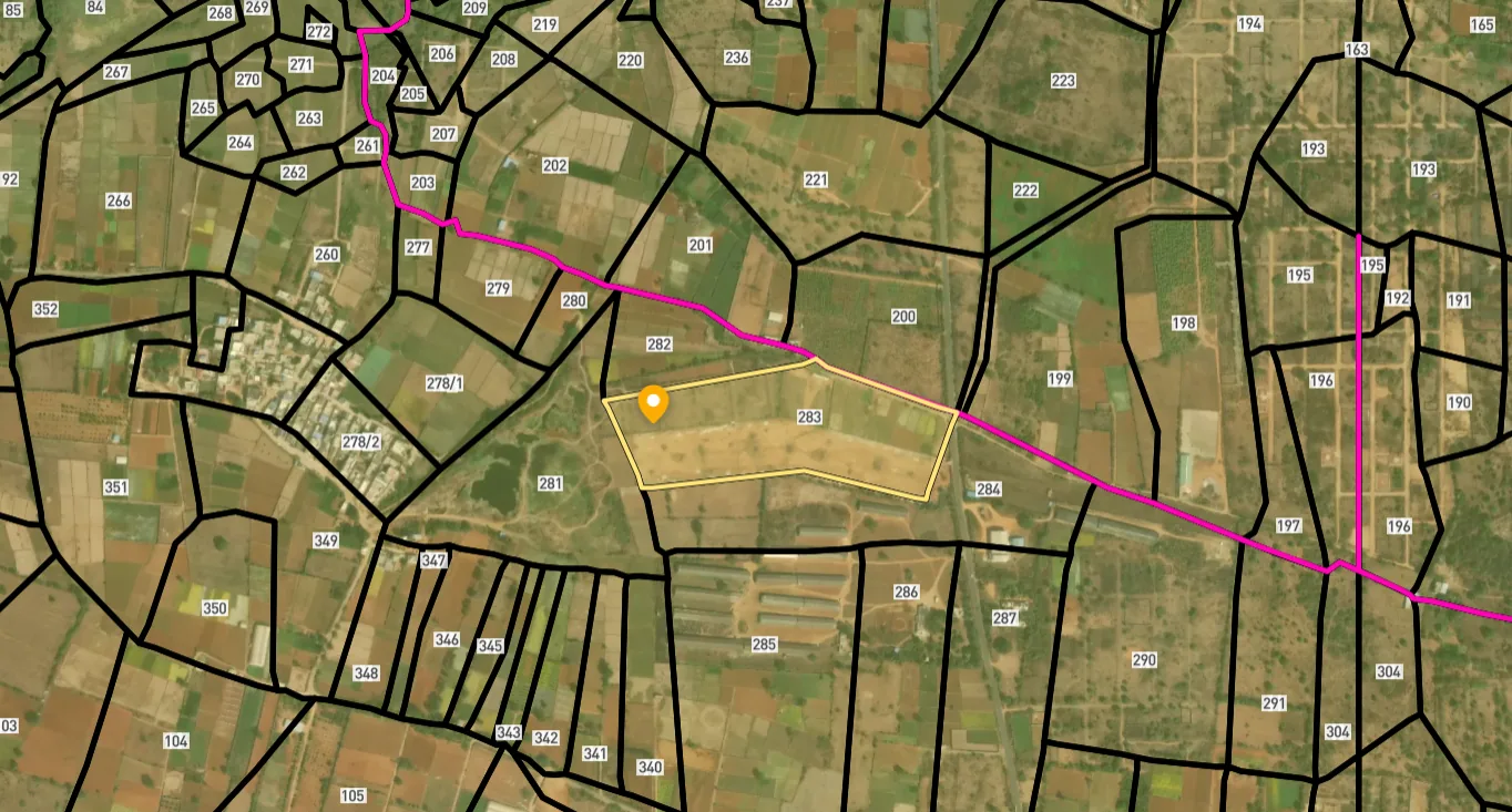
Access Survey NumbersAccess Telangana
Survey Numbers
Boundaries and numbers come from published state cadastral records. See all map layers.
Looking to sell your land in Telangana?

Browse all verified lands & plots in Telangana
More Layers in Telangana
See all 26 layers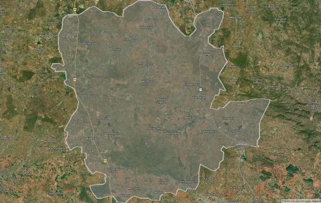
FCDA Masterplan — Bharat Future City Zone, Hyderabad
View FCDA Bharat Future City zone as a live map overlay — check future city development zones for free on 1acre.in. FCDA...
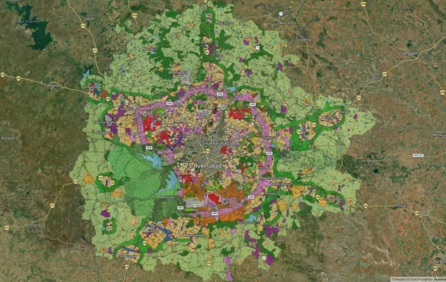
Hyderabad HMDA Masterplan: Zone Check and Land Use Guide
View Hyderabad Masterplan as a live map overlay – check any plot's land use zone for free on 1acre.in. Hyderabad masterp...
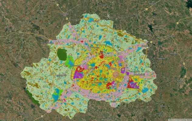
Warangal Masterplan: WUDA Zone Check and Land Use Guide
View Warangal Masterplan as a live map overlay – check any plot's land use zone for free on 1acre.in. Warangal KUDA mast...
More Layers in Telangana
FCDA Masterplan — Bharat Future City Zone, Hyderabad
View FCDA Bharat Future City zone as a live map overlay — check future city development zones for free on 1acre.in. FCDA...
Hyderabad HMDA Masterplan: Zone Check and Land Use Guide
View Hyderabad Masterplan as a live map overlay – check any plot's land use zone for free on 1acre.in. Hyderabad masterp...
Warangal Masterplan: WUDA Zone Check and Land Use Guide
View Warangal Masterplan as a live map overlay – check any plot's land use zone for free on 1acre.in. Warangal KUDA mast...
Frequently Asked Questions
The alignment is officially notified. It starts at Bellampalle on NH-363 in Mancherial district (Telangana) and terminates at Gadchiroli on NH-353C in Maharashtra. The 150 km corridor is split into a 63 km Telangana section and an 86 km Maharashtra section.
The Telangana section is estimated in the ₹3,078 crore range as part of the wider ₹45,000 crore Hyderabad-Raipur Economic Corridor. Approval and aerial survey were notified in January 2023, but on-ground progress remained stalled as of May 2025 pending environmental clearance.
The Telangana stretch enters at Annaram near Bellampalli in Mancherial district, passes through Veeravelli in Kumram Bheem Asifabad district, and exits at the Maharashtra border. The Maharashtra section then runs through Chandrapur and Gadchiroli districts.
Yes. The Gadchiroli-Mancherial link is one of three packages under the 568 km Hyderabad-Raipur Economic Corridor, sanctioned under Bharatmala Pariyojana. The other two are the 325 km Durg-Gadchiroli-Bellampalli greenfield section and the 208 km Mancherial-Hyderabad brownfield SH-1 upgrade.
Yes, strictly. Under AP Scheduled Areas Land Transfer Regulation 1 of 1959, applied to Telangana, tribal-owned land in Fifth Schedule Agency mandals of Mancherial and Kumram Bheem Asifabad cannot be transferred to non-tribals. Any such sale is void, and the deed cannot be registered.
Section 22-A of the Registration Act empowers the Telangana Government to notify prohibited properties. The Prohibited Order Book (POB), maintained by the CCLA and district registrars, lists government, endowment, wakf, and disputed land where the Sub-Registrar refuses to register a sale deed.
Yes, free at dharani.telangana.gov.in. Enter the district, mandal, village, and survey number to view the Pattadar Passbook, extent, and ROR. Cross-verify the Passbook holder with the seller's photo ID before advance payment, and confirm Section 22-A status.
It remains a proposed corridor. The Union Ministry approved and notified an aerial survey for the 63 km Telangana section in January 2023 under Bharatmala Pariyojana, but environmental clearance was deferred over forest and tiger reserve impact.
Source
Official government land and infrastructure records
Official Website
nhai.gov.in
Coordinate Reference System
EPSG:4326 (WGS 84)
Geometry Type
LineString / MultiLineString
Data Format
Vector (GeoJSON) + Raster Tiles
Last Verified
2026
Status
Active
Was this layer helpful?
Anything wrong, outdated, or missing we want to hear it.