
Khammam-Devarapalli Expressway


Khammam Devarapalli Expressway Preview
Try the Khammam-Devarapalli Expressway on the map
Sign in once and explore the layer for a full day.
- No card details needed
- Find nearby verified lands for sale
Overview
A Khammam-Devarapalli Expressway land purchase depends on knowing exactly where NHAI's 162.12 km, 4-lane access-controlled greenfield corridor cuts through the Telangana-Andhra Pradesh border. NH-365BG runs from Khammam city in Telangana's Khammam district to Devarapalli in Andhra Pradesh's Eluru district, passing Wyra, Kalluru, Sattupalli, Tiruvuru and Jangamreddy Gudem. It forms the eastern half of the 221 km Suryapet-Devarapalle Expressway (NH-365BB) at a total project cost of Rs 4,939 crore. Land acquisition of 1,996 acres across 31 villages in 10 Khammam mandals is complete. This page maps the alignment and buyer checkpoints.
Regulatory Red Flags on Any Khammam-Devarapalli Expressway Land Purchase
NHAI runs the Khammam-Devarapalli Expressway as a 4-lane access-controlled greenfield corridor. Greenfield means new land taken from private pattadars under the National Highways Act, 1956. Access-controlled means no side entry, no field driveway, no shop opening onto the corridor. Interchanges are the only entry and exit points.
Land acquisition and 3D notifications are closed. NHAI acquired 1,996 acres of agricultural land across 31 villages spread over 10 mandals in Khammam district alone. Construction is running under five civil packages, each with a two-year timeline. The corridor crosses two state jurisdictions: 96 km of the 162.12 km stretch sits in Khammam district (Telangana), and the balance falls in NTR and Eluru districts of Andhra Pradesh. That state border matters.
The table below shows what a Khammam-Devarapalli Expressway land buyer must verify before any advance payment.
Regulatory Red Flags on Any Khammam-Devarapalli Expressway Land Purchase
Check
What to Confirm
Failure Signal
Alignment Status
Plot inside or outside the notified 3A / 3D corridor
Seller claim of "outside the alignment" with no 3D copy
Chainage Match
Location relative to Km 0+000 (Khammam) to Km 162+126 (Devarapalli)
Plot marketed as "corridor land" without chainage reference
Pahani / Adangal
Latest pattadar name, survey number, extent, mutation
Owner name different from sale deed or Aadhaar
State Jurisdiction
Whether the parcel is in Telangana or Andhra Pradesh
Sale deed executed in the wrong state's Sub-Registrar
Corridor Setback
Distance from the highway's Right of Way boundary
Construction intent inside the RoW
Check
What to Confirm
Failure Signal
Alignment Status
Plot inside or outside the notified 3A / 3D corridor
Seller claim of "outside the alignment" with no 3D copy
Chainage Match
Location relative to Km 0+000 (Khammam) to Km 162+126 (Devarapalli)
Plot marketed as "corridor land" without chainage reference
Pahani / Adangal
Latest pattadar name, survey number, extent, mutation
Owner name different from sale deed or Aadhaar
State Jurisdiction
Whether the parcel is in Telangana or Andhra Pradesh
Sale deed executed in the wrong state's Sub-Registrar
Corridor Setback
Distance from the highway's Right of Way boundary
Construction intent inside the RoW
The trap is state-border jurisdiction. Land registration for a Khammam-district parcel goes through Telangana's Dharani portal at dharani.telangana.gov.in. Land registration for a Tiruvuru or Devarapalli parcel goes through Andhra Pradesh's Meebhoomi portal at meebhoomi.ap.gov.in.
The two portals do not talk to each other. A seller quoting a Telangana pattadar number for a plot on the AP side is either mistaken or misleading. NHAI's Bhoomi Rashi entry covers both, but state registration and mutation follow the state the parcel physically sits in. Telugu revenue vocabulary matters: pattadar is the recorded owner, survey number is the plot identifier, pahani is the Telangana ROR record, adangal is the Andhra Pradesh ROR record.
Khammam has been under active mutation for multiple corridors simultaneously. Where two projects touch a single survey number, the district collector's LA cell handles compensation, but registration blockage is real. Verify both project lists before executing.
Growth Corridors from Wyra Through Sattupalli, Tiruvuru and Into Jangamreddy Gudem
The corridor cuts across three districts: Khammam (Telangana), NTR (Andhra Pradesh), and Eluru (Andhra Pradesh). Each stretch has its own micro-market logic. Khammam is the corridor origin and the trunk town. Sattupalli sits mid-corridor with paper and industrial anchors. Tiruvuru is the AP-side entry point. Jangamreddy Gudem and Devarapalli anchor the eastern terminus.
The 162.12 km corridor is the eastern half of the 221 km Suryapet-Devarapalle Expressway (NH-365BB), also called the Hyderabad-Visakhapatnam Expressway. On its western end it links to the Suryapet-Khammam segment, and on its eastern end it ties into NH-16 (the Kolkata-Chennai trunk) near Devarapalli. The corridor's real economic pull comes from Vizag port access, not just Hyderabad-Vizag freight.
The table below shows the micro-markets along the alignment and their present buyer risk profile.
Growth Corridors from Wyra Through Sattupalli, Tiruvuru and Into Jangamreddy Gudem
Micro-Market / Mandal
What Drives Value
Buyer Risk
Khammam city (Km 0+000)
NH-365BB connection, existing urban anchor
Highest speculative pricing, dual-project overlap
Wyra, Kalluru mandals
Corridor spine through Khammam district
1,996-acre acquisition, post-3D voidability
Sattupalli
Paper mill and industrial anchor
Farmer resistance history, mutation delays
Tiruvuru (NTR district, AP)
State border crossing, SH-178 access
Wrong-state registration attempts
Jangamreddy Gudem, Devarapalli (Eluru district)
NH-16 (Kolkata-Chennai) junction, Vizag port access
Meebhoomi mutation lag, urban zone confusion
Micro-Market / Mandal
What Drives Value
Buyer Risk
Khammam city (Km 0+000)
NH-365BB connection, existing urban anchor
Highest speculative pricing, dual-project overlap
Wyra, Kalluru mandals
Corridor spine through Khammam district
1,996-acre acquisition, post-3D voidability
Sattupalli
Paper mill and industrial anchor
Farmer resistance history, mutation delays
Tiruvuru (NTR district, AP)
State border crossing, SH-178 access
Wrong-state registration attempts
Jangamreddy Gudem, Devarapalli (Eluru district)
NH-16 (Kolkata-Chennai) junction, Vizag port access
Meebhoomi mutation lag, urban zone confusion
The most misread market is Khammam city itself. NH-365BB and the Suryapet-Khammam alignment together push corridor-adjacent land into speculative pricing. Some plots being marketed as "expressway-adjacent" sit inside the notified 3D corridor, not next to it. Ask for the exact chainage and the pattadar number, then match against the Telangana Dharani portal.
On the Andhra Pradesh side at Tiruvuru, verify with State Highway 178's chainage; the SH-178 alignment feeds into the expressway near the state border, and some seller pitches conflate the two. In Jangamreddy Gudem and Devarapalli mandals, cross-check with the NH-16 alignment and any AP RERA layout registration. A Khammam-Devarapalli Expressway land purchase without a fresh pahani or adangal, a district-collector search, and the correct state's Sub-Registrar verification is guesswork.
Was this layer helpful?
Anything wrong, outdated, or missing we want to hear it.

Access Survey NumbersAccess Telangana
Survey Numbers
Boundaries and numbers come from published state cadastral records. See all map layers.
Looking to sell your land in Telangana?

Browse all verified lands & plots in Telangana
More Layers in Telangana
See all 26 layers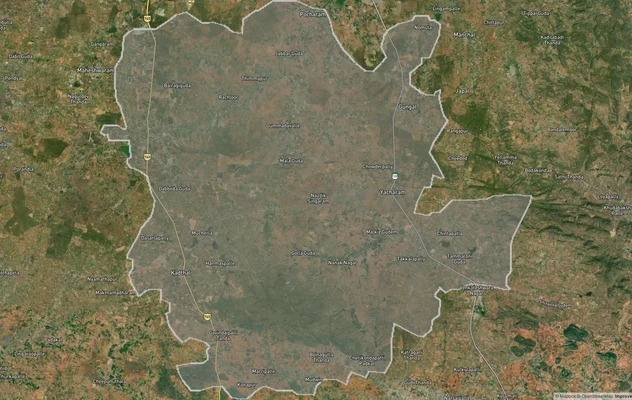
FCDA Masterplan — Bharat Future City Zone, Hyderabad
View FCDA Bharat Future City zone as a live map overlay — check future city development zones for free on 1acre.in. FCDA...
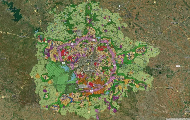
Hyderabad HMDA Masterplan: Zone Check and Land Use Guide
View Hyderabad Masterplan as a live map overlay – check any plot's land use zone for free on 1acre.in. Hyderabad masterp...
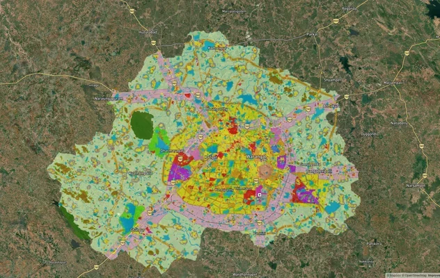
Warangal Masterplan: WUDA Zone Check and Land Use Guide
View Warangal Masterplan as a live map overlay – check any plot's land use zone for free on 1acre.in. Warangal KUDA mast...
More Layers in Telangana
FCDA Masterplan — Bharat Future City Zone, Hyderabad
View FCDA Bharat Future City zone as a live map overlay — check future city development zones for free on 1acre.in. FCDA...
Hyderabad HMDA Masterplan: Zone Check and Land Use Guide
View Hyderabad Masterplan as a live map overlay – check any plot's land use zone for free on 1acre.in. Hyderabad masterp...
Warangal Masterplan: WUDA Zone Check and Land Use Guide
View Warangal Masterplan as a live map overlay – check any plot's land use zone for free on 1acre.in. Warangal KUDA mast...