Agra - Gwalior Expressway
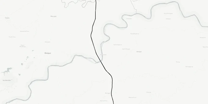
Agra Gwalior Expressway Preview
Try the Agra - Gwalior Expressway on the map
Sign in once and explore the layer for a full day.
- No card details needed
- Find nearby verified lands for sale
Overview
The Agra Gwalior Expressway is an 88.4-km, six-lane greenfield corridor under Bharatmala Pariyojana Phase 2, connecting Deori village on Agra's Inner Ring Road to Susera village on the Gwalior Bypass. National Highways Authority of India (NHAI) awarded the contract to GR Infraprojects Ltd on DBFOT (Design, Build, Finance, Operate, Transfer) mode in March 2025, with a Total Capital Cost of Rs 4,613 crore (including land acquisition costs) per the NHAI concession agreement signed 30 April 2025. Land has been acquired from 65 villages across UP, Rajasthan, and MP. The project targets completion within 910 days of the appointed date, pointing to 2028. This Premium layer on 1acre maps the DPR alignment so buyers can verify whether any specific survey number falls inside the notified 60-meter corridor.
The alignment passes through the National Chambal Wildlife Sanctuary in the Morena section, which adds construction complexity and land-sensitivity considerations near the sanctuary boundary.
Section 3A Notices Are Live: What Agra Gwalior Expressway Land Buyers in Morena and Dholpur Must Check Before Purchasing
The Agra Gwalior Expressway land corridor carries Section 3A notices under the National Highways Act, 1956, across all three states on its route, making this one of the few Bharatmala Phase 2 projects where acquisition is legally activated before physical construction begins. In Agra district alone, NHAI notified 117.83 hectares across 15 villages in Sadar, Kheragarh, and Fatehabad tehsils. Once a Section 3A notice attaches to a khasra number, the owner cannot legally transfer that land; any registered sale deed executed after notice service is voidable.
Acquisition is confirmed complete across 65 villages: 14 in UP (Agra), 18 in Rajasthan (Dholpur), and 30 in MP (Morena). The 60-meter ROW is the base corridor width. Near bridge approaches and river crossings (eight major bridges, 23 minor bridges, six flyovers, five elevated viaducts), the effective construction footprint extends beyond that base.
The table below shows the corridor by state, district, and km range formally under acquisition:
State
District
Km Range
Villages Acquired
Key Tehsils
Uttar Pradesh
Agra
0 to 20.2
14
Sadar, Kheragarh, Fatehabad
Rajasthan
Dholpur
20.2 to 47.2
18
Rajakheda area
Madhya Pradesh
Morena
47.2 to 88.25
30
Rajakheda (Morena side)
Madhya Pradesh
Gwalior
88.25 to 88.4
Susera village (terminus)
Gwalior bypass
The risk no competing page addresses directly: this project was originally tendered as three EPC packages in December 2023 and all three were cancelled in January 2024. It was relaunched on DBFOT mode; GR Infraprojects Ltd was declared preferred bidder on March 13, 2025, a 15-month restructuring gap. Alignment maps from the 2023 pre-bid period still circulate through broker networks in Morena and Dholpur. NHAI has not published the post-restructuring alignment publicly; the pre-feasibility was prepared by LEA Associates South Asia, and the full DPR is not downloadable from any official NHAI portal. Verify survey numbers against the current NHAI Section 3A notification, not any document dated before March 2025.
Gwalior Bypass to Morena: Which Districts Along the Agra Gwalior Expressway Corridor Hold Real Land Value
The Gwalior district accounts for just 150 meters of this 88.4-km alignment; Morena holds 41 km and Dholpur holds 27 km. Brokers near Susera village and Nirawali Tiraha are pricing plots at expressway-adjacent premiums before construction has started, and the four to five entry/exit loops planned every 20-25 km in Morena, Dholpur, and Agra define which sub-corridor parcels gain access value; that map looks different from what most broker pitches show.
The table below shows the primary micro-markets along the route, with the realistic land signal and key risk at each:
Corridor
District
State
Land Signal
Key Risk
Deori village / Inner Ring Road
Agra
UP
Established market; limited new upside
14 villages already in Section 3A
Rajakheda fringe
Dholpur
Rajasthan
Transit zone; thin land market
No urban demand anchor
Morena city fringe / NH-552 junction
Morena
MP
Sharpest connectivity gain; two-corridor node
Construction not yet commenced
Susera village / Nirawali Tiraha
Gwalior
MP
Bypass-adjacent; premium already applied
Overpriced for current project stage
Morena closes the real connectivity gap. The district depends entirely on the old Gwalior-Morena-Dholpur-Agra road, which this expressway decongests directly. The NH-552 junction inside Morena is also the planned interchange with the proposed 408.77-km Chambal Expressway, creating a two-corridor node when both projects are operational. The contract further includes a cable-stayed bridge over the Chambal River, the only such structure on the alignment, concentrating engineering weight on this section. The DBFOT scope also requires strengthening of the existing NH-44 Agra-Gwalior section, which benefits Morena logistics before the greenfield lanes open. Design speed is 100 km/h, lower than India's newer 120 km/h corridors, so commercial uplift near interchanges will develop more gradually than on higher-speed routes. Physical construction had not commenced as of the March 2025 contract award; track NHAI's formal appointed date notification before treating the 2028 target as confirmed.
Was this layer helpful?
Anything wrong, outdated, or missing we want to hear it.
For Land Owners & Agents
Looking to sell your land in Uttar Pradesh?
I want to sell my land in Uttar Pradesh
10:32
Plz share your Land's location - We will list it on 1acre map, for Free.
10:32

For Land Buyers
Browse all verified lands & plots in Uttar Pradesh
Every listing goes through our Preliminary Verification Process.
More Layers in Uttar Pradesh
See all 32 layers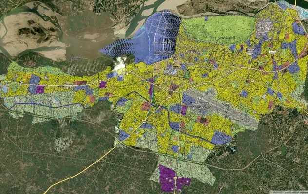
Ayodhya Masterplan
View Ayodhya Masterplan as a live map overlay – check any plot's land use zone for free on 1acre.in. Ayodhya masterplan ...
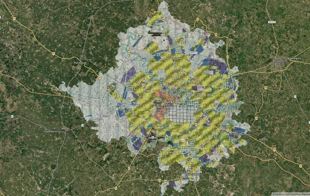
Lucknow Masterplan
View Lucknow Masterplan as a live map overlay – check any plot's land use zone for free on 1acre.in. Lucknow masterplan ...
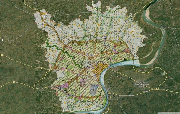
Varanasi Masterplan
View Varanasi Masterplan as a live map overlay – check any plot's land use zone for free on 1acre.in. VDA Master Plan 20...
More Layers in Uttar Pradesh
Ayodhya Masterplan
View Ayodhya Masterplan as a live map overlay – check any plot's land use zone for free on 1acre.in. Ayodhya masterplan ...
Lucknow Masterplan
View Lucknow Masterplan as a live map overlay – check any plot's land use zone for free on 1acre.in. Lucknow masterplan ...
Varanasi Masterplan
View Varanasi Masterplan as a live map overlay – check any plot's land use zone for free on 1acre.in. VDA Master Plan 20...