
Bundelkhand Expressway
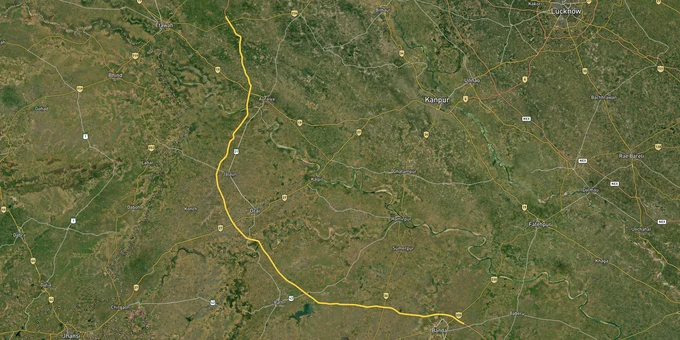

Bundelkhand Expressway Preview
Try the Bundelkhand Expressway on the map
Sign in once and explore the layer for a full day.
- No card details needed
- Find nearby verified lands for sale
Overview
Bundelkhand Expressway land buying is a seven-district question, and the answer differs sharply by which side of the 110-metre Right-of-Way (ROW) your plot sits on. The 296 km greenfield expressway, developed by UPEIDA at a total project cost of Rs 14,716 crore, was inaugurated on July 16, 2022, connecting Gonda village on NH-35 in Chitrakoot district to Kudrail village on the Agra-Lucknow Expressway in Etawah district. Passing through Banda, Mahoba, Hamirpur, Jalaun, and Auraiya, it is now also the anchor for India's largest planned solar expressway project. This page covers the ROW freeze, the Defence Corridor node status, and which district belts carry verified investment logic.
The 110-Metre ROW Band and the Defence Corridor Node Disparity
Two regulatory realities shape every Bundelkhand Expressway land buying decision. Neither is obvious until you study the UPEIDA documents.
The first is the ROW. The Bundelkhand Expressway carries a 110-metre Right-of-Way along its entire 296 km alignment. UPEIDA has already acquired 3,462 hectares of land for the project. Within this band, the land is government-acquired; no private transaction is possible. Beyond the band, the risk shifts from acquisition to opportunity, but only if the survey number on the Bhulekh UP Khasra Khatauni confirms that the plot sits outside the notified corridor.
The second is the UP Defence Industrial Corridor (UPDIC). The PMO announced six nodes for UPDIC at its 2020 foundation stone event: Aligarh, Agra, Jhansi, Kanpur, Chitrakoot, and Lucknow. Two of these, Jhansi and Chitrakoot, fall within the Bundelkhand belt. The Chitrakoot node specifically has not had any land allotted to industries as of early 2025, while Jhansi has attracted active investment. The UP government offers capital subsidies up to 10 percent at the Jhansi and Chitrakoot nodes versus 7 percent at other nodes, but industrial intent has not yet matched the subsidy incentive at Chitrakoot.
This table shows the documented regulatory position across the corridor's key parameters.
Parameter
Fact
What Buyers Must Verify
ROW width
110 metres along full 296 km alignment
Bhulekh UP Khasra to confirm plot outside ROW
Total land acquired
3,462 hectares across 182 villages in 7 districts
Check Gata number mutation status on UP Bhulekh
Solar land bank
1,700 ha on 15-20 m either side of the carriageway, already UPEIDA-held
Confirmed held by UPEIDA: do not buy inside this strip
UPDIC Chitrakoot node
Land acquired, but no industry allotted as of 2025
Industrial intent present; execution lag documented
UPDIC Jhansi node
Active investment, Rs 3,421 crore, attracted
Faster-moving node on the corridor's western edge
Parameter
Fact
What Buyers Must Verify
ROW width
110 metres along full 296 km alignment
Bhulekh UP Khasra to confirm plot outside ROW
Total land acquired
3,462 hectares across 182 villages in 7 districts
Check Gata number mutation status on UP Bhulekh
Solar land bank
1,700 ha on 15-20 m either side of the carriageway, already UPEIDA-held
Confirmed held by UPEIDA: do not buy inside this strip
UPDIC Chitrakoot node
Land acquired, but no industry allotted as of 2025
Industrial intent present; execution lag documented
UPDIC Jhansi node
Active investment, Rs 3,421 crore, attracted
Faster-moving node on the corridor's western edge
If a broker cannot show you the Khasra number and the Bhulekh UP extract confirming the plot is outside the 110-meter ROW and the 15-20 metre solar strip, the land is effectively unavailable for private development.
Growth Corridors and Micro-Markets Along the Expressway
Three investment tiers sit along this corridor. The first is the Etawah-Kudrail junction zone, where the expressway meets the Agra-Lucknow Expressway. This is the expressway's northern terminal and the fastest concrete node, with direct onward connectivity to NCR via the Yamuna Expressway. Land rates here reportedly rose 15-20 percent from the announcement date alone. The second tier runs through Jalaun and Hamirpur, where an industrial corridor is actively being planned around the expressway, and the solar park's 500 MW PPP project adds a confirmed large institutional footprint. The third tier covers the Chitrakoot-Gonda southern end, where tourism and defense corridors promise exists on paper, but industrial execution is still absent.
The table below lists the sourced micro-market positions along the expressway.
Corridor / District
Role on Alignment
Growth Driver
Known Risk
Kudrail, Etawah
Northern terminal, junction with Agra-Lucknow Expressway
Direct NCR connectivity via Yamuna Expressway
Closest to Agra markets, land prices have already moved
Auraiya
Mid-corridor industrial development zone
Manufacturing sector growth, expressway access
Agricultural land: verify conversion status
Jalaun / Orai
Toll plaza district, emerging trading center
Industrial corridor planning underway, solar park
The solar strip already UPEIDA-held in the corridor band
Hamirpur
Agricultural center, connectivity hub
Connectivity from a historically infrastructure-poor region
Over 95% of the population lacked road access pre-2022
Banda
Historical district, emerging industrial activity
Industrial corridor Banda-Jalaun belt documented
Early stage; no operational anchor yet
Mahoba
Ancient fort city, mid-corridor
Tourism potential, expressway access
Speculative; no confirmed industrial anchor
Gonda, Chitrakoot
Southern terminus on NH-35
UPDIC node (Chitrakoot), tourism, religious circuit
UPDIC land acquired, but no industrial allotment as of 2025
Corridor / District
Role on Alignment
Growth Driver
Known Risk
Kudrail, Etawah
Northern terminal, junction with Agra-Lucknow Expressway
Direct NCR connectivity via Yamuna Expressway
Closest to Agra markets, land prices have already moved
Auraiya
Mid-corridor industrial development zone
Manufacturing sector growth, expressway access
Agricultural land: verify conversion status
Jalaun / Orai
Toll plaza district, emerging trading center
Industrial corridor planning underway, solar park
The solar strip already UPEIDA-held in the corridor band
Hamirpur
Agricultural center, connectivity hub
Connectivity from a historically infrastructure-poor region
Over 95% of the population lacked road access pre-2022
Banda
Historical district, emerging industrial activity
Industrial corridor Banda-Jalaun belt documented
Early stage; no operational anchor yet
Mahoba
Ancient fort city, mid-corridor
Tourism potential, expressway access
Speculative; no confirmed industrial anchor
Gonda, Chitrakoot
Southern terminus on NH-35
UPDIC node (Chitrakoot), tourism, religious circuit
UPDIC land acquired, but no industrial allotment as of 2025
The most misunderstood micro-market is Hamirpur. It is pitched as a real estate opportunity on the strength of the expressway alone, and the connectivity gain is real. However, over 95 percent of the district's population lacked proper road access before 2022, which means the baseline infrastructure gap is substantial. Land here is cheaper than in Etawah for a reason. Buyers entering Hamirpur should do so with a 7-10 year horizon, confirmed Bhulekh records, and a plot that sits well clear of the solar strip.
Was this layer helpful?
Anything wrong, outdated, or missing we want to hear it.
For Land Owners & Agents
Looking to sell your land in Uttar Pradesh?
I want to sell my land in Uttar Pradesh
10:32
Plz share your Land's location - We will list it on 1acre map, for Free.
10:32


For Land Buyers
Browse all verified lands & plots in Uttar Pradesh
Every listing goes through our Preliminary Verification Process.
More Layers in Uttar Pradesh
See all 37 layers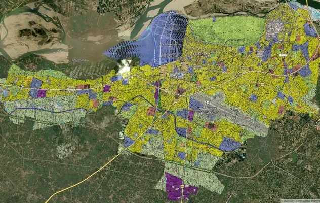
Ayodhya Masterplan
View Ayodhya Masterplan as a live map overlay – check any plot's land use zone for free on 1acre.in. Ayodhya masterplan ...
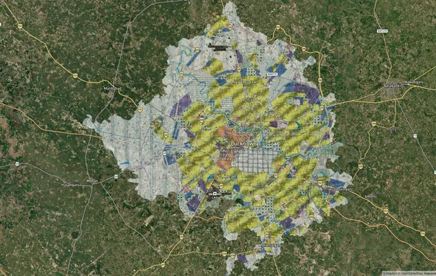
Lucknow Masterplan
View Lucknow Masterplan as a live map overlay – check any plot's land use zone for free on 1acre.in. Lucknow masterplan ...
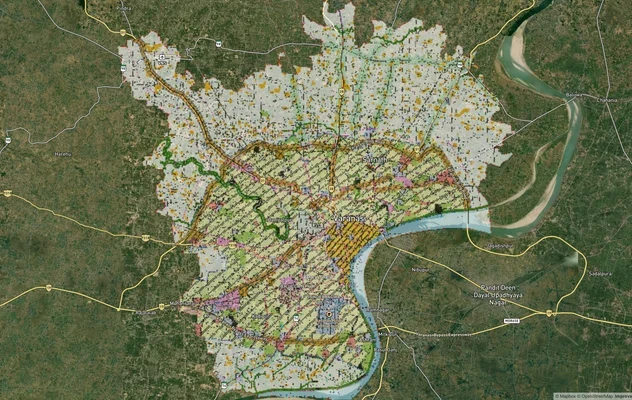
Varanasi Masterplan
View Varanasi Masterplan as a live map overlay – check any plot's land use zone for free on 1acre.in. VDA Master Plan 20...
More Layers in Uttar Pradesh
Ayodhya Masterplan
View Ayodhya Masterplan as a live map overlay – check any plot's land use zone for free on 1acre.in. Ayodhya masterplan ...
Lucknow Masterplan
View Lucknow Masterplan as a live map overlay – check any plot's land use zone for free on 1acre.in. Lucknow masterplan ...
Varanasi Masterplan
View Varanasi Masterplan as a live map overlay – check any plot's land use zone for free on 1acre.in. VDA Master Plan 20...