
Eastern Peripheral Expressway (EPE): Route, Exits and Land Rules


Eastern Peripheral Expressway Preview
Try the Eastern Peripheral Expressway (EPE) on the map
Sign in once and explore the layer for a full day.
- No card details needed
- Find nearby verified lands for sale
Overview
The Eastern Peripheral Expressway (EPE), also called the Kundli-Ghaziabad-Palwal (KGP) Expressway and NE-2, is a 135 km, six-lane, access-controlled expressway in an arc east of Delhi. It runs from Kundli on NH-44 to Palwal on NH-19, where it meets the Western Peripheral Expressway, and crosses the Yamuna twice. Inaugurated in May 2018 and built at roughly ₹11,000 crore, the EPE passes through Haryana (Sonipat, Faridabad), Uttar Pradesh (Baghpat, Ghaziabad, Gautam Buddha Nagar) and brushes Delhi's eastern fringe.
Eastern Peripheral Expressway land buying decisions hinge on a fact most brokers will not state plainly: the 135 km NE-2 Kundli Ghaziabad Palwal corridor is fully access-controlled, and you can join or leave it only at its interchanges. These sit at the Kundli and Palwal ends and where it crosses major roads near Baghpat (Mawikalan), Duhai, Dasna, Dadri (Beel Akbarpur), Sirsa and on the Atali-Chainsa road on the Faridabad side. Three different land regimes apply along this single corridor. This page covers the route and exits, the authority approvals that actually matter, the abadi-agriculture trap that catches first-time buyers, and the corridors where appreciation is real versus speculative.
Eastern Peripheral Expressway route and exits
The EPE runs north to south from Kundli to Palwal. It crosses the Yamuna near the Kundli end and again at Faizupur Khadar, between Sirsa and the Faridabad side. The official description at its opening in May 2018 listed seven interchanges and the roads it crosses, shown below in order. Road numbers are as named at opening; several highways in this belt have since been renumbered.
Exit or junction (north to south)
Road it meets
Area it serves
Kundli (northern end)
NH-44 (formerly NH-1)
Sonipat, Haryana; Delhi's northern edge
Mawikalan (Baghpat exit)
SH-57
Baghpat, UP
Duhai
NH-58
Ghaziabad, UP
Dasna
NH-24
Ghaziabad, UP
Beel Akbarpur (Dadri exit)
NH-91
Dadri, Gautam Buddha Nagar, UP
Sirsa
Kasna-Sikandra road
Greater Noida (Kasna, Pari Chowk), UP
Jaganpur-Afzalpur (under construction)
Yamuna Expressway
Greater Noida, Noida International Airport, UP
Atali-Chainsa road, near Maujpur
Atali-Chainsa road
Faridabad, Haryana
Palwal (southern end)
NH-19 (formerly NH-2) and the Western Peripheral Expressway
Palwal, Haryana
Exit or junction (north to south)
Road it meets
Area it serves
Kundli (northern end)
NH-44 (formerly NH-1)
Sonipat, Haryana; Delhi's northern edge
Mawikalan (Baghpat exit)
SH-57
Baghpat, UP
Duhai
NH-58
Ghaziabad, UP
Dasna
NH-24
Ghaziabad, UP
Beel Akbarpur (Dadri exit)
NH-91
Dadri, Gautam Buddha Nagar, UP
Sirsa
Kasna-Sikandra road
Greater Noida (Kasna, Pari Chowk), UP
Jaganpur-Afzalpur (under construction)
Yamuna Expressway
Greater Noida, Noida International Airport, UP
Atali-Chainsa road, near Maujpur
Atali-Chainsa road
Faridabad, Haryana
Palwal (southern end)
NH-19 (formerly NH-2) and the Western Peripheral Expressway
Palwal, Haryana
Searches for the Sirsa cut refer to the Sirsa exit on the Kasna-Sikandra road, which Greater Noida traffic uses today. Toll is collected only for the distance you travel, and weigh-in-motion equipment was installed at all 30 entry points at opening.
To find the nearest entry from your location, view the EPE alignment and exits on the 1acre map layer, then drive the approach road, since most villages along the route have no ramp of their own.
Reaching Faridabad, Sonipat and Greater Noida via the EPE
The EPE is the bypass most drivers use to move between the NCR's eastern and southern districts without entering Delhi. It was built in six packages, and the package names still describe the main trips along it: Sonepat-Baghpat, Baghpat-Ghaziabad, Ghaziabad-GB Nagar, GB Nagar, GB Nagar-Faridabad and Faridabad-Palwal.
Going to
Where to leave the EPE
What to know
Faridabad
Atali-Chainsa road exit, or the Palwal end
Signal-free link between Ghaziabad and Faridabad
Sonipat
Kundli end, onto NH-44
First package was the Sonepat-Baghpat stretch
Greater Noida
Sirsa exit
Local roads via Kasna and Pari Chowk
Yamuna Expressway and Jewar airport
Sirsa today; Jaganpur-Afzalpur once open
Direct link under construction
Going to
Where to leave the EPE
What to know
Faridabad
Atali-Chainsa road exit, or the Palwal end
Signal-free link between Ghaziabad and Faridabad
Sonipat
Kundli end, onto NH-44
First package was the Sonepat-Baghpat stretch
Greater Noida
Sirsa exit
Local roads via Kasna and Pari Chowk
Yamuna Expressway and Jewar airport
Sirsa today; Jaganpur-Afzalpur once open
Direct link under construction
The Jaganpur-Afzalpur interchange, near Jaganpur-Afzalpur village about 2 km from Galgotias University and 10 km from Pari Chowk, will be the first direct link between the EPE and the Yamuna Expressway. It is a cloverleaf with four loops. The foundation stone was laid on 15 December 2023, and the cost estimate has since risen to about ₹270 crore. As of October 2026, the latest published update, in August 2026, put the work at about 75% complete, with the YEIDA chief executive expecting completion by 30 September and public opening by 15 October 2026. Check that it has opened before you rely on it. Once open, it is expected to cut 15 to 20 km from many trips to Noida International Airport.
Land near a new exit moves first in price, so confirm the controlling authority and the layout sanction before you pay, as the next section explains.
Regulatory Red Flags Specific to EPE Land Buyers
Three failures sink most plot deals along this corridor. The first is the three-state title regime. In Haryana stretches (Sonipat-Kundli and Faridabad-Palwal), HSVP (formerly HUDA) and town and country planning department sanctions are mandatory for any residential layout. Plots in HSVP sectors carry a different title chain than private colonies under licence from the Director of Town and Country Planning. In Uttar Pradesh stretches (Baghpat, Ghaziabad, Greater Noida), GNIDA and YEIDA allotments dominate near the interchanges, while Awas Vikas Parishad and private developers operate elsewhere. Plots advertised simply as "near EPE" without naming the controlling authority are usually unapproved layouts on revenue land.
The second trap is the abadi deh agricultural plot fraud. In UP villages along Dasna, Dadri and Jaganpur, farmers and middlemen routinely cut 100 to 200 square yard plots out of agricultural land and sell them as "abadi" plots. The buyer receives a registered sale deed but no Section 143 conversion under the UP Zamindari Abolition and Land Reforms Act, no GNIDA approval, and no building plan eligibility. Greater Noida Authority has issued repeated public notices flagging unauthorised colonies, and bulldozer action has occurred in 2024 and 2025 against such plottings. A registry alone is not protection. Verify the conversion order, the layout sanction, and the encumbrance certificate before paying.
The third trap is the no-access reality. EPE is access-controlled. Plots that show "EPE-facing" frontage on a brochure rarely connect to it. There are no plot-level entries to the expressway, only seven interchanges. A plot 500 metres from the expressway with no service road link is materially different from a plot at an interchange. Service roads of about 90 km were built for local connectivity, but they do not run continuously along the entire 135 km. Walk the actual access route before buying.
Use this screen before you transfer any earnest money on a plot in this belt.
State / Authority
Controlling Body
Approval Required
Title Risk
Haryana, Sonipat / Kundli
HSVP, DTCP
Licence under HDRUA Act 1975
Medium, settled
Haryana, Faridabad / Palwal
HSVP, DTCP
Licence and CLU order
Medium, settled
UP, Greater Noida
GNIDA
GNIDA allotment / sanction
Low for GNIDA, high for private
UP, Yamuna Expressway zone
YEIDA
YEIDA allotment / sanction
Low for YEIDA, high for private
UP, Ghaziabad / Dasna
GDA, Awas Vikas
GDA layout sanction
Medium
UP, Baghpat villages
Revenue + Tehsil
Section 143 conversion required
High, abadi fraud common
Service road plots, all states
NHAI right of way
No private rights
Construction prohibited
State / Authority
Controlling Body
Approval Required
Title Risk
Haryana, Sonipat / Kundli
HSVP, DTCP
Licence under HDRUA Act 1975
Medium, settled
Haryana, Faridabad / Palwal
HSVP, DTCP
Licence and CLU order
Medium, settled
UP, Greater Noida
GNIDA
GNIDA allotment / sanction
Low for GNIDA, high for private
UP, Yamuna Expressway zone
YEIDA
YEIDA allotment / sanction
Low for YEIDA, high for private
UP, Ghaziabad / Dasna
GDA, Awas Vikas
GDA layout sanction
Medium
UP, Baghpat villages
Revenue + Tehsil
Section 143 conversion required
High, abadi fraud common
Service road plots, all states
NHAI right of way
No private rights
Construction prohibited
Stamp duty and circle rates differ by state. Haryana, UP and the brushed-Delhi corridor each carry different registration costs and women-buyer concessions. A plot that looks cheaper across the state line often comes with a higher transaction cost once stamp duty and conversion fees are added.
Growth Corridors and Micro-Markets on the NE-2 Belt
Not every kilometre of the EPE carries the same upside. The investable belts share three traits: proximity to one of the seven authorised interchanges, controlling authority approval in the underlying layout, and a confirmed industrial or institutional anchor (Jewar airport catchment, GNIDA industrial cluster, HSVP sector or AKTU university belt). Speculative pockets sit on revenue land in interior villages. High-risk pockets sit on unconverted agricultural plottings flagged by GNIDA or HSVP.
The table below maps each major Baghpat Kundli Sonipat plot belt and each Greater Noida Dasna interchange catchment to its driver and the specific risk that follows it.
Corridor / Locality
State
Growth Driver
Known Risk
Kundli / Sonipat interchange
Haryana
KMP-EPE junction, Rajiv Gandhi Education City
RRTS station catchment, pricing in
Bahadurgarh side spillover
Haryana
WPE-EPE ring
Limited fresh HSVP supply
Baghpat / Mavi Kalan exit
UP
First UP exit from Sonipat side
Revenue land plottings dominate
Duhai / Dasna interchange
UP
RRTS Duhai depot, Ghaziabad spillover
Several unauthorised colonies
Dadri exit
UP
Industrial belt, DFCC corridor
Mixed industrial-residential clutter
Jaganpur-Afzalpur / Yamuna Expressway interchange
UP
YEIDA, Jewar Noida International Airport
Acquisition disputes documented
Greater Noida industrial cluster
UP
GNIDA allotments, IT/ITES
High base price, GNIDA
Atali-Chainsa / Faridabad
Haryana
Faridabad industrial zone, FNG
HSVP scheme allotments only
Dholagarh / Palwal endpoint
Haryana
KMP-EPE second junction
Limited urban depth
Corridor / Locality
State
Growth Driver
Known Risk
Kundli / Sonipat interchange
Haryana
KMP-EPE junction, Rajiv Gandhi Education City
RRTS station catchment, pricing in
Bahadurgarh side spillover
Haryana
WPE-EPE ring
Limited fresh HSVP supply
Baghpat / Mavi Kalan exit
UP
First UP exit from Sonipat side
Revenue land plottings dominate
Duhai / Dasna interchange
UP
RRTS Duhai depot, Ghaziabad spillover
Several unauthorised colonies
Dadri exit
UP
Industrial belt, DFCC corridor
Mixed industrial-residential clutter
Jaganpur-Afzalpur / Yamuna Expressway interchange
UP
YEIDA, Jewar Noida International Airport
Acquisition disputes documented
Greater Noida industrial cluster
UP
GNIDA allotments, IT/ITES
High base price, GNIDA
Atali-Chainsa / Faridabad
Haryana
Faridabad industrial zone, FNG
HSVP scheme allotments only
Dholagarh / Palwal endpoint
Haryana
KMP-EPE second junction
Limited urban depth
The most misunderstood corridor on this belt is the Jaganpur-Afzalpur stretch. Buyers see the interchange being built to link the EPE with the Yamuna Expressway (about 75% complete in August 2026), the proximity to Noida International Airport at Jewar, and assume the upside is locked in. They miss that this interchange catchment falls inside YEIDA jurisdiction, that the Yamuna Authority identified 77 hectares for the linkage involving roughly 350 farmer allotments, and that private plottings around the interchange are routinely unsanctioned. If a broker shows you a Jaganpur or Afzalpur survey number, ask for the YEIDA sector allotment order, cross-check it on the YEIDA portal, and walk away if the seller cannot produce one. The second misunderstood corridor is Baghpat. The first UP exit looks compelling on a map, but the surrounding villages have thin GDA presence and a documented pattern of revenue-land plottings sold without Section 143 conversion.
For Land Owners & Agents
Looking to sell your land in Uttar Pradesh?
I want to sell my land in Uttar Pradesh
10:32
Plz share your Land's location - We will list it on 1acre map, for Free.
10:32

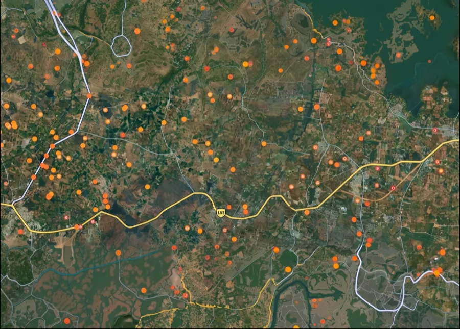
For Land Buyers
Browse all verified lands & plots in Uttar Pradesh
Every listing goes through our Preliminary Verification Process.
More Layers in Uttar Pradesh
See all 38 layers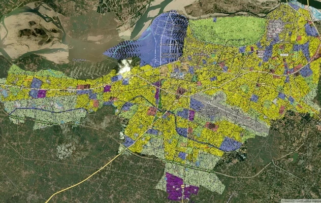
Ayodhya Masterplan
View Ayodhya Masterplan as a live map overlay – check any plot's land use zone for free on 1acre.in. Ayodhya masterplan ...
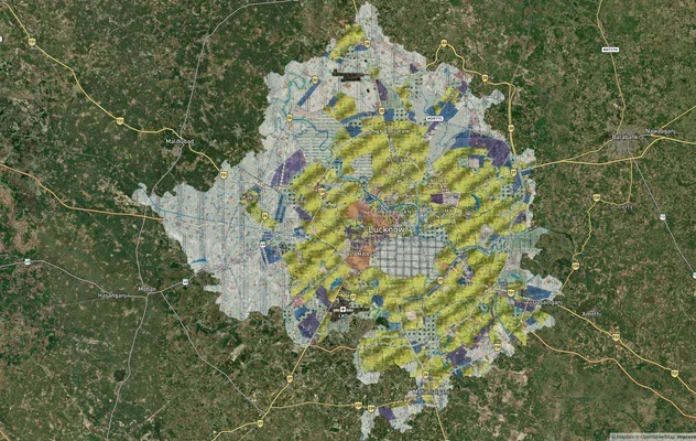
Lucknow Masterplan
View Lucknow Masterplan as a live map overlay – check any plot's land use zone for free on 1acre.in. Lucknow masterplan ...
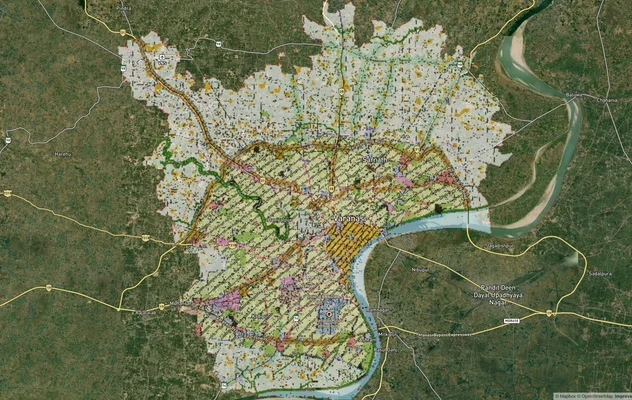
Varanasi Masterplan
View Varanasi Masterplan as a live map overlay – check any plot's land use zone for free on 1acre.in. VDA Master Plan 20...
More Layers in Uttar Pradesh
Ayodhya Masterplan
View Ayodhya Masterplan as a live map overlay – check any plot's land use zone for free on 1acre.in. Ayodhya masterplan ...
Lucknow Masterplan
View Lucknow Masterplan as a live map overlay – check any plot's land use zone for free on 1acre.in. Lucknow masterplan ...
Varanasi Masterplan
View Varanasi Masterplan as a live map overlay – check any plot's land use zone for free on 1acre.in. VDA Master Plan 20...
Frequently Asked Questions
Yes. The NE-2 Kundli Ghaziabad Palwal corridor opened on 27 May 2018. Exits are at the Kundli and Palwal ends and at Baghpat (Mawikalan), Duhai, Dasna, Dadri (Beel Akbarpur), Sirsa on the Kasna-Sikandra road and the Atali-Chainsa road on the Faridabad side. A Yamuna Expressway interchange near Jaganpur-Afzalpur is being built. The expressway is operated under a Toll-Operate-Transfer concession by NCR Eastern Peripheral Expressway Private Limited since 2022.
Yes. The Yamuna Authority identified approximately 77 hectares (around 190 acres) for the interchange near Jaganpur-Afzalpur village in Gautam Buddha Nagar district. Once operational, it will provide direct EPE access to the Yamuna Expressway and Jewar Noida International Airport corridor, dramatically shifting catchment value east of Greater Noida. As of October 2026, the latest update, in August 2026, put the cloverleaf interchange at about 75% complete, with public opening targeted for 15 October 2026.
For UP plots, demand the Section 143 conversion order under the UP Zamindari Abolition and Land Reforms Act. Cross-check the Khasra and Gata number on the Bhulekh UP portal. For Haryana plots, demand the CLU order and HSVP or DTCP licence number. Absence of either is a refusal signal.
Yes. GNIDA YEIDA HSVP allotment plots come with sanctioned layouts, infrastructure obligations and clear title chains. Private layouts on revenue land require Section 143 conversion plus layout sanction, which most do not have. Allotted plots cost more but carry lower title and demolition risk.
Property prices in Greater Noida Dasna interchange catchments, Baghpat Kundli Sonipat plot belts and Faridabad spillovers have appreciated meaningfully since the 2018 inauguration. Apartment rates along the Noida-Greater Noida axis have reportedly risen around 146 percent over a 10-year window. Appreciation is uneven and concentrated near authorised interchanges.
EPE and KGP Expressway are the same road. NE-2 connects Kundli to Palwal via Ghaziabad. The Western Peripheral Expressway (also called KMP) is the parallel road running Kundli-Manesar-Palwal on Delhi's western flank. Together they form the largest ring road around Delhi.
Not without conversion. UP plots require Section 143 conversion plus GDA, GNIDA or YEIDA sanction depending on jurisdiction. Haryana plots require CLU plus DTCP licence. A registered sale deed alone does not authorise construction or qualify the plot for a building plan or home loan.
Yes. The interchange being built near Jaganpur-Afzalpur will connect EPE with the Yamuna Expressway, which is the primary access spine for Noida International Airport at Jewar. YEIDA sector allotments along the corridor are the lowest-risk entry point for airport-led appreciation.
The Sirsa cut is the EPE exit near Sirsa village in Greater Noida, where the expressway crosses the Kasna-Sikandra road. It lies between the Dadri exit at Beel Akbarpur and the second Yamuna crossing at Faizupur Khadar. Traffic for Kasna, Pari Chowk and, for now, the Yamuna Expressway leaves here and continues on local roads.
The EPE runs 135 km from Kundli on NH-44, north of Delhi, through Baghpat, Ghaziabad and Greater Noida to Palwal on NH-19, south of Faridabad. It crosses the Yamuna twice. In order, its main exits are Kundli, Mawikalan near Baghpat, Duhai, Dasna, Beel Akbarpur near Dadri, Sirsa, the Atali-Chainsa road and Palwal.
From Ghaziabad or Greater Noida, stay on the EPE heading south past Sirsa and the Yamuna crossing at Faizupur Khadar, and leave at the Atali-Chainsa road exit on the Faridabad side, or continue to the Palwal end. The expressway was built to give signal-free connectivity between Ghaziabad and Faridabad, with its last two packages running GB Nagar to Faridabad and Faridabad to Palwal.
Yes. The EPE's northern end is at Kundli on NH-44, on the Sonipat side of the Delhi border, and its first package was built as the Sonepat-Baghpat stretch. From Ghaziabad or Baghpat, head north on the EPE to the Kundli end and join NH-44 towards Sonipat.
The EPE was built in about 500 days against a scheduled 910 days and was inaugurated by the Prime Minister at Baghpat on 27 May 2018. It was built in six packages by different contractors, with about 1,700 hectares of land acquired. The government's release at opening put construction cost at about ₹4,617.87 crore and land cost at about ₹5,900 crore.
The EPE uses a closed tolling system: you collect an entry record when you join and pay at your exit only for the distance you travelled, not the full 135 km. Toll plazas use electronic toll collection; at opening, The Tribune reported an 18-lane toll plaza on the Rai-Baghpat stretch. Check current rates with the operator before travel, as they are revised over time.
Source
Official National Highways Authority of India (NHAI) documents
Official Website
nhai.gov.in
Coordinate Reference System
EPSG:4326 (WGS 84)
Geometry Type
LineString / MultiLineString
Data Format
Vector (GeoJSON) + Raster Tiles
Last Verified
2026
Status
Active
Was this layer helpful?
Anything wrong, outdated, or missing we want to hear it.