
Delhi-Meerut Expressway
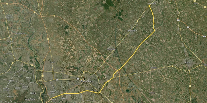

Delhi Meerut Expressway Preview
Try the Delhi-Meerut Expressway on the map
Sign in once and explore the layer for a full day.
- No card details needed
- Find nearby verified lands for sale
Overview
Delhi-Meerut Expressway land buying has shifted from speculation to serious money since NH-9 was rebuilt as India's widest 14-lane corridor and the Dasna-Meerut greenfield stretch opened. The route, designated National Expressway 3, runs roughly 96 km from Sarai Kale Khan in Delhi to the Meerut bypass at a project cost between ₹8,000 and ₹10,000 crore. The operative zoning document for the western half of this corridor is the GDA Master Plan 2031, which covers 33,543 hectares across Ghaziabad, Loni and Modinagar-Muradnagar. This page maps the legal traps, the live TOD zones, and the questions buyers should answer before any token cheque clears.
Illegal Colonies, TOD Boundaries and the RERA Check That Decides Everything
Two specific risks separate a clean Delhi-Meerut Expressway plot from one that will never receive a building permission. The first is buying inside an unauthorised colony Ghaziabad GDA already lists on its public registry. The second is mistaking a TOD-adjacent farm parcel for one that actually sits inside the notified Transit-Oriented Development zone where the higher FAR applies.
GDA publishes an active list of unauthorised colonies through its official portal, and enforcement is moving. In May 2025, the authority bulldozed a 50-bigha illegal colony on khasra numbers 839 and 840 of Didauli village in Modinagar. GDA Vice President Atul Vats directed officers to file FIRs for any fresh construction on the site. The lesson is sharper than it looks. Any colony missing from the GDA-approved list is not a "future legal" parcel waiting for regularisation. It is a parcel waiting for a bulldozer.
The table below shows how the corridor's plot categories interact with permission status and risk.
Plot Category
What It Means
Buildable?
Common Trap
GDA-approved layout
Sanctioned plot inside notified colony
Yes, with building plan approval
Verify approval number on GDA portal
TOD zone parcel
Inside 4,261.43 ha rapid rail corridor zone
Yes, FAR raised from 1.5 to 5
Confirm 500 m boundary against metro corridor
Unauthorised colony parcel
Listed on GDA illegal colony PDF
No
Sold as "future regularisation" candidate
Outside notified plan area
Beyond the 33,543 ha Unified Master Plan
No, until inclusion
Pitched as "expressway frontage" without zoning
Plot Category
What It Means
Buildable?
Common Trap
GDA-approved layout
Sanctioned plot inside notified colony
Yes, with building plan approval
Verify approval number on GDA portal
TOD zone parcel
Inside 4,261.43 ha rapid rail corridor zone
Yes, FAR raised from 1.5 to 5
Confirm 500 m boundary against metro corridor
Unauthorised colony parcel
Listed on GDA illegal colony PDF
No
Sold as "future regularisation" candidate
Outside notified plan area
Beyond the 33,543 ha Unified Master Plan
No, until inclusion
Pitched as "expressway frontage" without zoning
The UP RERA registered project Ghaziabad check is the second non-negotiable. For any group housing or plotted township sold along the corridor, the RERA registration number must match the project on the up-rera.in portal. Pull the registration certificate, cross-check the project's GDA layout sanction, and verify the khasra number against the master plan land-use map. If a coloniser cannot produce all three, the parcel is either pre-sanction stock being marketed early, or it sits in the unauthorised list. Walk away before any advance moves.
Growth Corridors: Where the TOD Zones Decide Returns
The Delhi-Meerut Expressway corridor splits into four packages with very different planning treatments, end-buyer profiles and risk weights. The Delhi end runs from Sarai Kale Khan to the UP Gate at the Ghazipur border. The Ghaziabad belt covers UP Gate to Dasna under the GDA Master Plan 2031. Dasna to Hapur sits along old NH-9 with service roads. The Dasna-Meerut greenfield stretch is the freshest investment band, opened on a new alignment and joining the Meerut bypass at Partapur.
The Unified Master Plan 2031 targets a population of 4.8 million by 2031 and allocates 39.8% (12,873 hectares) of the plan area to residential use and 2.2% (702.85 hectares) to commercial. The TOD zone along the 1.5 km rapid rail corridor spans 4,261.43 hectares. Another 616.61 hectares fall inside the 500 m metro-corridor TOD belt covering the Red Line and Blue Line stations. A Special Development Area of 909.82 hectares is notified around the Duhai RRTS depot.
The table below summarises the corridor's main investable bands.
Corridor Band
Key Localities
Primary Driver
Risk
Package 1 (Delhi)
Sarai Kale Khan to UP Gate
NH-9 widening 14 lanes Dasna leg, Delhi network access
70 kmph speed cap, limited fresh land supply
Package 2 (Ghaziabad)
UP Gate to Dasna, Vasundhara, Indirapuram
TOD zone along rapid rail, Red Line metro feeder
TOD FAR uplift applies only inside 500 m belt
Package 3 (Hapur leg)
Dasna to Pilakhuwa to Hapur
Service road frontage, plotted township supply
Sectors outside Unified Master Plan boundary
Package 4 (Meerut greenfield)
Hapur to Partapur, Meerut bypass
120 kmph stretch, Meerut Metro under planning
Greenfield notification overlap with farm holdings
Corridor Band
Key Localities
Primary Driver
Risk
Package 1 (Delhi)
Sarai Kale Khan to UP Gate
NH-9 widening 14 lanes Dasna leg, Delhi network access
70 kmph speed cap, limited fresh land supply
Package 2 (Ghaziabad)
UP Gate to Dasna, Vasundhara, Indirapuram
TOD zone along rapid rail, Red Line metro feeder
TOD FAR uplift applies only inside 500 m belt
Package 3 (Hapur leg)
Dasna to Pilakhuwa to Hapur
Service road frontage, plotted township supply
Sectors outside Unified Master Plan boundary
Package 4 (Meerut greenfield)
Hapur to Partapur, Meerut bypass
120 kmph stretch, Meerut Metro under planning
Greenfield notification overlap with farm holdings
Harnandipuram, marketed as Naya Ghaziabad, is the corridor's most anticipated township and also the most misread. The project sits inside the Master Plan 2031, but the plan itself remains pending state government approval after four GDA board rejections since September 2022. Until the final notification, all plot bookings inside the Harnandipuram footprint carry execution risk. The Duhai RRTS depot Special Development Area is the cleaner alternative for a 5-year hold, since the 909.82-hectare boundary is already mapped in the draft. Cross-reference any "near RRTS" listing against the depot SDA boundary before signing.
Was this layer helpful?
Anything wrong, outdated, or missing we want to hear it.
For Land Owners & Agents
Looking to sell your land in Uttar Pradesh?
I want to sell my land in Uttar Pradesh
10:32
Plz share your Land's location - We will list it on 1acre map, for Free.
10:32


For Land Buyers
Browse all verified lands & plots in Uttar Pradesh
Every listing goes through our Preliminary Verification Process.
More Layers in Uttar Pradesh
See all 37 layers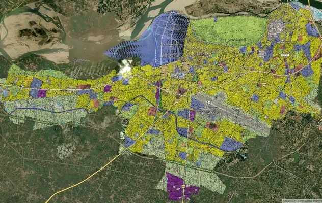
Ayodhya Masterplan
View Ayodhya Masterplan as a live map overlay – check any plot's land use zone for free on 1acre.in. Ayodhya masterplan ...
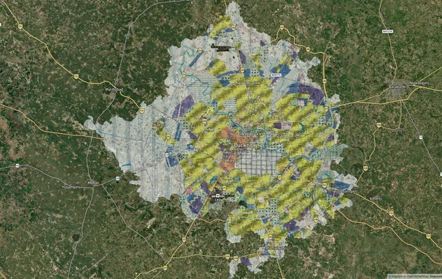
Lucknow Masterplan
View Lucknow Masterplan as a live map overlay – check any plot's land use zone for free on 1acre.in. Lucknow masterplan ...
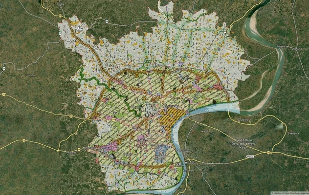
Varanasi Masterplan
View Varanasi Masterplan as a live map overlay – check any plot's land use zone for free on 1acre.in. VDA Master Plan 20...
More Layers in Uttar Pradesh
Ayodhya Masterplan
View Ayodhya Masterplan as a live map overlay – check any plot's land use zone for free on 1acre.in. Ayodhya masterplan ...
Lucknow Masterplan
View Lucknow Masterplan as a live map overlay – check any plot's land use zone for free on 1acre.in. Lucknow masterplan ...
Varanasi Masterplan
View Varanasi Masterplan as a live map overlay – check any plot's land use zone for free on 1acre.in. VDA Master Plan 20...