
Purvanchal Expressway
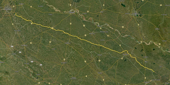

Purvanchal Expressway Preview
Try the Purvanchal Expressway on the map
Sign in once and explore the layer for a full day.
- No card details needed
- Find nearby verified lands for sale
Overview
The Purvanchal Expressway is a fully operational 340.824-km, six-lane access-controlled highway built by UPEIDA, connecting Chand Sarai village in Lucknow to Haidaria village in Ghazipur, 18 km from the Bihar border. Inaugurated in November 2021 at a total project cost of ₹22,494 crore, it passes through nine districts: Lucknow, Barabanki, Amethi, Sultanpur, Ayodhya, Ambedkar Nagar, Azamgarh, Mau, and Ghazipur. Five dedicated industrial corridors are planned alongside it. This page covers the land-record traps, acquisition-zone risks, and micro-market logic a buyer must understand before committing capital along this corridor.
Sarkari patta plots and the Azamgarh acquisition trap buyers keep missing
The expressway is built and operational, but the land-title problem it created in Azamgarh is still unresolved and it is the single most dangerous trap for buyers along this corridor. During acquisition, more than 25 families holding sarkari patta titles (government-granted land to landless poor, processed through gram sabha, lekhpal, and sub-divisional magistrate) received zero compensation because authorities reclassified their plots as forest land. This means sarkari patta entries in Bhulekh records near the expressway alignment carry an active risk of being contested as forest land, even where families have farmed them for decades.
The table below lists the three document-level checks every buyer must complete before signing any agreement on a plot in the nine expressway districts.
Document
Portal
What to Check
Risk if Skipped
Khatauni (Record of Rights)
upbhulekh.gov.in
Owner name, Khasra number, land category, dispute status
Buying from a non-owner or a litigated plot
Bhunaksha (cadastral map)
upbhunaksha.gov.in
Plot boundaries vs. physical location on ground
Boundary disputes post-registration
Vaad Grast Status
upbhulekh.gov.in (Sale Status section)
Check if Khasra/Gata is flagged in any legal proceedings
Hidden court encumbrance on title
Document
Portal
What to Check
Risk if Skipped
Khatauni (Record of Rights)
upbhulekh.gov.in
Owner name, Khasra number, land category, dispute status
Buying from a non-owner or a litigated plot
Bhunaksha (cadastral map)
upbhunaksha.gov.in
Plot boundaries vs. physical location on ground
Boundary disputes post-registration
Vaad Grast Status
upbhulekh.gov.in (Sale Status section)
Check if Khasra/Gata is flagged in any legal proceedings
Hidden court encumbrance on title
Sarkari patta land is not the same as pucca private patta. If a seller presents an older revenue entry but cannot show an unencumbered Khatauni from the current cycle, treat it as a red flag that requires tehsil-level verification before any token payment.
The acquisition-zone risk runs in the other direction too. UPEIDA is still acquiring land along the five planned industrial corridors, with 873 hectares acquired along the Purvanchal Expressway as of the latest public figures, representing roughly 60% of the approved land. Until the bainama (a local term for the sale deed in land acquisition proceedings) is complete for a given khasra, that plot's status can change. Check the UP Bhulekh dispute status for any Khasra within two to three kilometers of a known industrial corridor boundary before buying.
Ghazipur to Sultanpur: which micro-markets carry the real corridor logic
The expressway is operational, but the investment case is not uniform across all nine districts. The strongest signal comes from where UPEIDA is putting its own acquisition money. In Ghazipur's Mohammadabad area, a 448-hectare industrial corridor is under active land acquisition, with 83.89% of proposed land acquired in the Ghazipur Integrated Manufacturing and Logistics Cluster (IMLC) as of February 2026. That level of government commitment creates a different risk profile from speculative plots in, say, Barabanki.
The table below maps each district segment against its current activity level, the confirmed infrastructure trigger, and the primary buyer risk.
Corridor / Micro-Market
Key Driver
UPEIDA Acquisition Status
Primary Risk
Gosainganj, Lucknow (western entry)
Agra-Lucknow Expressway junction, Sultanpur Road
Entry/exit land acquisition active
Higher circle rates; limited agricultural-to-industrial conversion headroom
Sultanpur (airstrip node)
3.2-km IAF emergency airstrip at Kurebhar
Industrial interest post-airstrip
Periodic expressway closure during IAF maintenance
Azamgarh (Gorakhpur Link junction)
Gorakhpur Link Expressway connects at Salarpur village
Industrial corridor land identified; bainama underway Nov 2023
Sarkari patta dispute risk; forest land reclassification cases active
Mohammadabad, Ghazipur (eastern IMLC)
448-hectare industrial corridor; Bihar border proximity
83.89% of proposed land acquired as of Feb 2026
Remaining 16% acquisition still active; plots within boundary face government takeover at circle rates
Mau (bridge nodes)
NH-31 interchange at Haydaria
Logistics and warehousing focus
Lower urbanisation; longer appreciation timeline
Corridor / Micro-Market
Key Driver
UPEIDA Acquisition Status
Primary Risk
Gosainganj, Lucknow (western entry)
Agra-Lucknow Expressway junction, Sultanpur Road
Entry/exit land acquisition active
Higher circle rates; limited agricultural-to-industrial conversion headroom
Sultanpur (airstrip node)
3.2-km IAF emergency airstrip at Kurebhar
Industrial interest post-airstrip
Periodic expressway closure during IAF maintenance
Azamgarh (Gorakhpur Link junction)
Gorakhpur Link Expressway connects at Salarpur village
Industrial corridor land identified; bainama underway Nov 2023
Sarkari patta dispute risk; forest land reclassification cases active
Mohammadabad, Ghazipur (eastern IMLC)
448-hectare industrial corridor; Bihar border proximity
83.89% of proposed land acquired as of Feb 2026
Remaining 16% acquisition still active; plots within boundary face government takeover at circle rates
Mau (bridge nodes)
NH-31 interchange at Haydaria
Logistics and warehousing focus
Lower urbanisation; longer appreciation timeline
Sultanpur is the most misread market on this corridor. Brokers pitch it as an "airstrip township" zone. That airstrip belongs to the Indian Air Force and is used for emergency landings. It is not a civil aviation hub, and the 6-km stretch around it is periodically closed for maintenance. Any scheme selling "airport-adjacent" plots in Sultanpur deserves heightened scrutiny.
Was this layer helpful?
Anything wrong, outdated, or missing we want to hear it.
For Land Owners & Agents
Looking to sell your land in Uttar Pradesh?
I want to sell my land in Uttar Pradesh
10:32
Plz share your Land's location - We will list it on 1acre map, for Free.
10:32


For Land Buyers
Browse all verified lands & plots in Uttar Pradesh
Every listing goes through our Preliminary Verification Process.
More Layers in Uttar Pradesh
See all 37 layers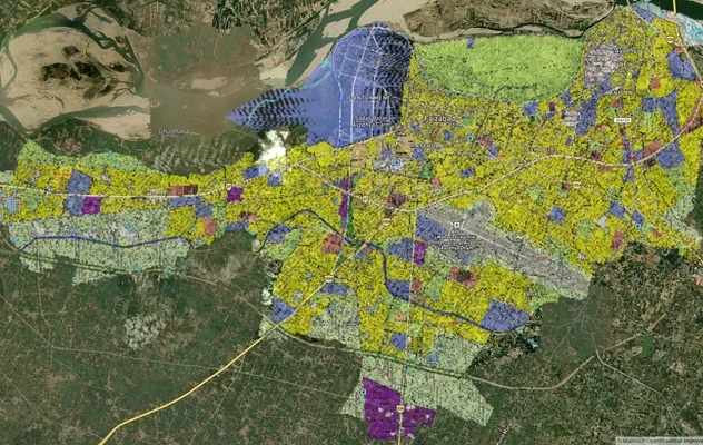
Ayodhya Masterplan
View Ayodhya Masterplan as a live map overlay – check any plot's land use zone for free on 1acre.in. Ayodhya masterplan ...
Lucknow Masterplan
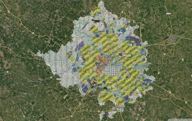
View Lucknow Masterplan as a live map overlay – check any plot's land use zone for free on 1acre.in. Lucknow masterplan ...
Varanasi Masterplan
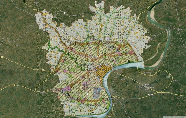
View Varanasi Masterplan as a live map overlay – check any plot's land use zone for free on 1acre.in. VDA Master Plan 20...
More Layers in Uttar Pradesh
Ayodhya Masterplan
View Ayodhya Masterplan as a live map overlay – check any plot's land use zone for free on 1acre.in. Ayodhya masterplan ...
Lucknow Masterplan
View Lucknow Masterplan as a live map overlay – check any plot's land use zone for free on 1acre.in. Lucknow masterplan ...
Varanasi Masterplan
View Varanasi Masterplan as a live map overlay – check any plot's land use zone for free on 1acre.in. VDA Master Plan 20...