Kanpur - Kabrai Highway
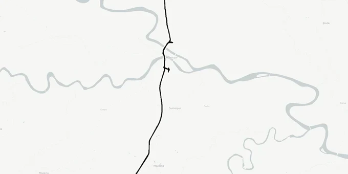
Kanpur Kabrai Highway Preview
Try the Kanpur - Kabrai Highway on the map
Sign in once and explore the layer for a full day.
- No card details needed
- Find nearby verified lands for sale
Overview
The Kanpur Kabrai Highway land corridor is a 112-km four-lane greenfield access-controlled highway under NHAI (National Highways Authority of India)'s Bharatmala Pariyojana. Starting near Magrasa village on the Kanpur Ring Road and ending at a cloverleaf on NH-76 (NH-35) near Kabrai railway station in Mahoba district, it passes through Kanpur Nagar, Fatehpur, Hamirpur, and Mahoba across 93 to 96 villages. The NPG (National Planning Group) gave preliminary approval in March 2025, DPR was submitted for approval in June 2025, tendering started in December 2025, and construction is expected to intensify through 2026 with completion targeted around 2028.
The estimated project cost is approximately Rs 3,500 to 3,700 crore under the Bharatmala Pariyojana programme.
Note: Fatehpur district is named in the corridor alignment but district-level land acquisition data for Fatehpur is not yet available. Buyers in Fatehpur should contact the district acquisition office directly to verify gata number status.
What Buyers Near the Kanpur Kabrai Corridor Must Check Before Any Transaction
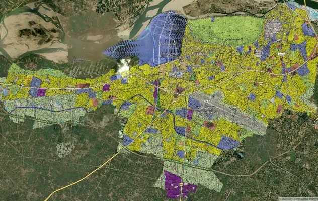
This highway is at the land acquisition stage, not yet at active construction. NHAI teams have been physically checking gata numbers in the field since September 2025. That is the specific moment when buying land near a greenfield alignment is most dangerous: the boundary is notified, NHAI officers are on the ground, but the acquisition prohibitions have not yet fully propagated into the informal land market. Farmers and landholders in villages within the 1,139-hectare acquisition footprint are still transacting, and buyers who purchase at this stage without checking can find themselves holding land that is either partly within the ROW or which will be subject to a compulsory acquisition order in the next 12 to 18 months at government-set rates.
The district-wise acquisition breakdown is the most useful guide to where the risk is highest.
The table below identifies acquisition scale and key risk by district for the Kanpur Kabrai Highway land corridor.
District
Villages Affected
Hectares to be Acquired
Key Risk Zone
Verification Step
Kanpur Nagar and Kanpur Dehat
49 villages
387 hectares
Ghatamapur tehsil, 31 villages most affected
Cross-check gata number against NHAI notification at Kanpur district office
Hamirpur
35 villages
500 hectares (largest share)
Naubasta-Hamirpur route belt
Verify not within ROW buffer; largest acquisition district
Mahoba / Kabrai area
9 villages
252 hectares
NH-76 cloverleaf approach zone
Check proximity to NH-35 interchange buffer at Kabrai station
Hamirpur district carries the largest single acquisition footprint at 500 hectares, spread across 35 villages. Any agricultural land transaction in Hamirpur district within 5 kilometres of the proposed alignment must be verified against the Section 3A notification before payment. The compensation policy offers four times the market value to farmers whose land is acquired, which creates a perverse incentive: sellers may represent land as "just outside the ROW" to collect a premium sale price, when the plot actually falls within the notification boundary. Do not accept a seller's verbal assurance. The gata number is the only ground truth.
Where Demand Will Emerge Along the Kanpur Kabrai Highway
The Kanpur Kabrai Highway is a Bundelkhand connectivity play, and its demand profile is long-dated. Construction is expected to run through 2028. The realistic investment horizon for anyone buying agricultural or semi-urban land along this corridor today is 6 to 10 years, with industrial and logistics demand arriving first, residential demand trailing by several years.
Two nodes carry the most specific demand rationale. The first is the starting point near Magrasa village on the Kanpur Ring Road. That junction connects the new highway directly to the Kanpur Outer Ring Road (Udyog Path), and through it to the Awadh Expressway at Amarsas, the Ganga Expressway, and the Kanpur-Noida Expressway trijunction. Land at the Magrasa-Kanpur Ring Road interchange zone sits at the intersection of four highway corridors, which is the strongest commercial real estate argument on this entire route. The second node is the NH-76 cloverleaf at Kabrai, where the highway meets the existing Kanpur to Sagar national highway. Industrial zones are planned alongside the Bundelkhand Expressway link, and Kabrai will be the last interchange before the Madhya Pradesh border.
The table below gives the demand profile by corridor pocket.
Location
Demand Type
Realistic Timeline
Key Check
Magrasa / Kanpur Ring Road start
Kanpur Nagar
Industrial, logistics, commercial
4-6 years
Confirm outside Kanpur Ring Road + Kabrai highway dual-ROW overlap
Ghatamapur tehsil belt
Kanpur Nagar
Agricultural conversion, industrial feeder
6-8 years
31 villages in active acquisition; gata check mandatory
Naubasta-Hamirpur corridor
Hamirpur
Relief from existing congestion; logistics
6-9 years
500-hectare acquisition zone; highest ROW risk on corridor
NH-76 cloverleaf, Kabrai
Mahoba
Industrial zone, MP border trade
7-10 years
Confirm plot outside NH-35 interchange ROW buffer
The Hamirpur belt is the most misread corridor on this highway. Some brokers cite its position mid-route as a stable hold. The reality is that Hamirpur has the largest land acquisition footprint on the project at 500 hectares. Any parcel within the active acquisition zone in Hamirpur cannot be legally transferred after a Section 3A notification is issued under the National Highways Act. Buying before you verify that notification status is not a calculated risk; it is buying land the government may take at its own valuation within months of your transaction.
Was this layer helpful?
Anything wrong, outdated, or missing we want to hear it.
For Land Owners & Agents
Looking to sell your land in Uttar Pradesh?
I want to sell my land in Uttar Pradesh
10:32
Plz share your Land's location - We will list it on 1acre map, for Free.
10:32

For Land Buyers
Browse all verified lands & plots in Uttar Pradesh
Every listing goes through our Preliminary Verification Process.
More Layers in Uttar Pradesh
See all 32 layers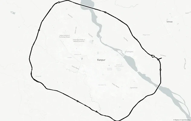
Kanpur Ring Road
View Kanpur Ring Road alignment as a live map overlay – check land acquisition risk and plot proximity free on 1acre.in.
Kanpur Road - Within Lucknow
View the Kanpur Road - Within Lucknow corridor on a live map overlay – check zoning, approvals and acquisition risk free...
Ayodhya Masterplan
View Ayodhya Masterplan as a live map overlay – check any plot's land use zone for free on 1acre.in. Ayodhya masterplan ...
More Layers in Uttar Pradesh
Kanpur Ring Road
View Kanpur Ring Road alignment as a live map overlay – check land acquisition risk and plot proximity free on 1acre.in.
Kanpur Road - Within Lucknow
View the Kanpur Road - Within Lucknow corridor on a live map overlay – check zoning, approvals and acquisition risk free...
Ayodhya Masterplan
View Ayodhya Masterplan as a live map overlay – check any plot's land use zone for free on 1acre.in. Ayodhya masterplan ...