
Faizabad Road
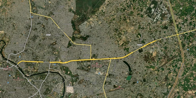

Faizabad Road Preview
Try the Faizabad Road on the map
Sign in once and explore the layer for a full day.
- No card details needed
- Find nearby verified lands for sale
Overview
Faizabad Road Lucknow land buying sits at the intersection of two powerful forces: a corridor that has historically led Lucknow's radial growth, and a regulatory environment where unapproved plots outnumber LDA-sanctioned ones in the outer stretches. The LDA Master Plan 2031 covers over 71,000 hectares across 197 integrated villages, with residential zones expanding from 20,578 to 30,750 hectares by 2031. Faizabad Road, aligned with NH-27 heading toward Ayodhya, falls across multiple zone categories depending on the survey number. Land rates here range from Rs 1,600 to Rs 3,800 per sq ft, with 104% appreciation recorded over three years. This page covers the exact regulatory traps active on this corridor, the micro-markets where zone classification directly shapes value, and the two portal checks every buyer must run before signing.
Illegal Plotting on Faizabad Road: The LDA Approval Trap That Has Cost Buyers Crores
Faizabad Road's outer stretches, particularly beyond Chinhat toward Safedabad and into Barabanki, carry one of the most documented fraud patterns in Lucknow real estate: a developer receives layout approval for 17 bighas from the Zila Panchayat, then markets and sells plots across 150 bighas of surrounding land by showing buyers only the approved corner of the plan. By the time a buyer registers, the plot they paid for sits entirely outside any sanctioned boundary.
This is not a fringe problem. A Zila Panchayat survey confirmed the pattern across multiple tehsils on this corridor, including Sarojininagar and Bakshi Ka Talab. The distinction matters here because Faizabad Road crosses both LDA jurisdiction (197 villages absorbed into the planning area) and the remaining 477 villages that fall under Zila Panchayat. Many brokers do not mention which authority governs a given parcel, and some actively misrepresent this fact.
The three approving authorities active on this corridor, what each covers, and the specific risk attached to each:
Approving Authority
Jurisdiction
Legal Requirement
Active Risk
LDA (Lucknow Development Authority)
197 villages within the Master Plan area
Layout approval number verifiable at lda.landuse.upda.co.in
Partial approvals are often sold as full layouts; demolition enforcement under UP Real Estate laws
Zila Panchayat
477 villages outside LDA boundary
Minimum standards: 12m main road, 9m internal roads, 40% open space
Approved 17-bigha plans sometimes used to market 150-bigha illegal colonies
Agricultural Land
Any parcel not in residential zone
Conversion required before plotting
Selling plots directly on abadi or khasra land without conversion order carries high legal risk
Approving Authority
Jurisdiction
Legal Requirement
Active Risk
LDA (Lucknow Development Authority)
197 villages within the Master Plan area
Layout approval number verifiable at lda.landuse.upda.co.in
Partial approvals are often sold as full layouts; demolition enforcement under UP Real Estate laws
Zila Panchayat
477 villages outside LDA boundary
Minimum standards: 12m main road, 9m internal roads, 40% open space
Approved 17-bigha plans sometimes used to market 150-bigha illegal colonies
Agricultural Land
Any parcel not in residential zone
Conversion required before plotting
Selling plots directly on abadi or khasra land without conversion order carries high legal risk
LDA has been running active demolition drives against unapproved townships precisely along corridors like Faizabad Road and Gosainganj. A project without a verifiable RERA registration number and a confirmed LDA layout approval number is not a legal product. The price discount a broker offers does not compensate for demolition risk. Ask for the approval number before any site visit. Cross-check it on the LDA land use portal at lda.landuse.upda.co.in and separately verify the khasra ownership on the Bhulekh UP portal. These are two distinct checks: one confirms zoning, the other confirms that the person selling actually holds title.
Chinhat, Kisan Path Junction, and the Outer Ring Road Belt: Three Very Different Risk Profiles on the Same Road
Faizabad Road is not one market. It behaves differently at three distinct points, and treating the corridor as uniform is the mistake most buyers from outside Lucknow make.
The three segments mapped against their LDA Master Plan 2031 zone positioning, current land rate range, and the specific growth driver or risk that defines each:
Corridor Segment
LDA Zone Status
Approx. Land Rate (2025)
Primary Driver
Known Risk
Chinhat Tiraha to Shaheed Path Junction
Within LDA-notified residential expansion
₹2,800 to ₹3,800 per sq. ft.
Shaheed Path connectivity; established social infrastructure
Older layouts with title disputes; verify Bhulekh UP before purchase
Kisan Path Junction to Outer Ring Road Crossing
Planned residential; Ring Road influence zone
₹1,800 to ₹2,800 per sq. ft.
Outer Ring Road; ~40% increase in buy-rate over last 3 years
Mix of LDA-approved and Zila Panchayat parcels; approval authority varies by survey number
Beyond Outer Ring Road toward Safedabad & Barabanki
Mostly agricultural with isolated Zila Panchayat layouts
₹1,000 to ₹1,800 per sq. ft.
Ayodhya highway tailwind; future Ring Road benefit
Highest density of illegal plotting; no LDA jurisdiction beyond Ring Road
Corridor Segment
LDA Zone Status
Approx. Land Rate (2025)
Primary Driver
Known Risk
Chinhat Tiraha to Shaheed Path Junction
Within LDA-notified residential expansion
₹2,800 to ₹3,800 per sq. ft.
Shaheed Path connectivity; established social infrastructure
Older layouts with title disputes; verify Bhulekh UP before purchase
Kisan Path Junction to Outer Ring Road Crossing
Planned residential; Ring Road influence zone
₹1,800 to ₹2,800 per sq. ft.
Outer Ring Road; ~40% increase in buy-rate over last 3 years
Mix of LDA-approved and Zila Panchayat parcels; approval authority varies by survey number
Beyond Outer Ring Road toward Safedabad & Barabanki
Mostly agricultural with isolated Zila Panchayat layouts
₹1,000 to ₹1,800 per sq. ft.
Ayodhya highway tailwind; future Ring Road benefit
Highest density of illegal plotting; no LDA jurisdiction beyond Ring Road
Chinhat is the most misunderstood segment. Because it sits close to established Gomti Nagar and Indira Nagar catchments, buyers assume the regulatory comfort of those areas transfers to Chinhat. It does not fully transfer. Title disputes on older Chinhat plots are common because several older colonies predate the current LDA plan, and their demarcation records are imprecise. The Bhulekh UP check is non-negotiable here, not optional.
The Outer Ring Road crossing changed the Kisan Path junction belt sharply. Residential developments between Shaheed Path and Faizabad Road recorded a nearly 40% jump in transaction volume in the two to three years following Ring Road connectivity, and land rates on this stretch moved 104% over three years. This is the highest-momentum pocket on the corridor, but it is also the zone where broker claims about LDA approval are most aggressively misused. The Outer Ring Road's Package 3B, covering 14.7 km from Kursi Road to Faizabad Road, brought structural infrastructure. What it did not bring was automatic regularisation of plots already marketed in the area.
Beyond the Ring Road, the Ayodhya highway effect has pushed land pricing outward, with sub-Rs 1,200-per-sq-ft options appearing as far as Barabanki. These parcels sit outside LDA jurisdiction entirely. Some hold Zila Panchayat approval; many do not. For buyers drawn to this stretch by the Ayodhya pilgrimage traffic thesis, the question is not whether the highway generates footfall (it does), but whether the plot you are buying has any legal pathway to building approval. Agricultural parcels on this stretch have no such pathway without a conversion order from the relevant authority.
Was this layer helpful?
Anything wrong, outdated, or missing we want to hear it.
For Land Owners & Agents
Looking to sell your land in Uttar Pradesh?
I want to sell my land in Uttar Pradesh
10:32
Plz share your Land's location - We will list it on 1acre map, for Free.
10:32


For Land Buyers
Browse all verified lands & plots in Uttar Pradesh
Every listing goes through our Preliminary Verification Process.
More Layers in Uttar Pradesh
See all 37 layers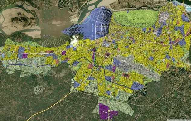
Ayodhya Masterplan
View Ayodhya Masterplan as a live map overlay – check any plot's land use zone for free on 1acre.in. Ayodhya masterplan ...
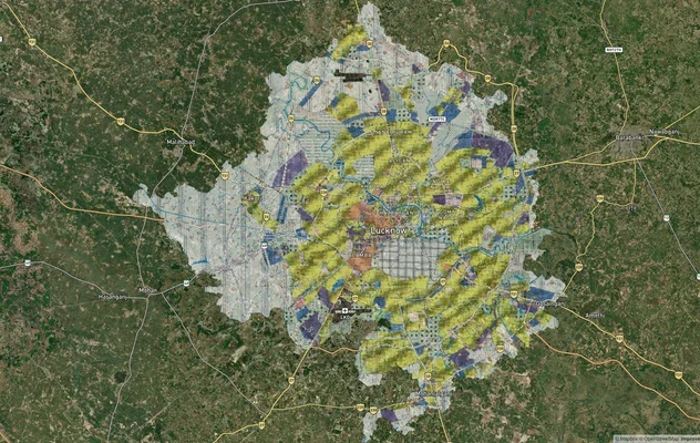
Lucknow Masterplan
View Lucknow Masterplan as a live map overlay – check any plot's land use zone for free on 1acre.in. Lucknow masterplan ...
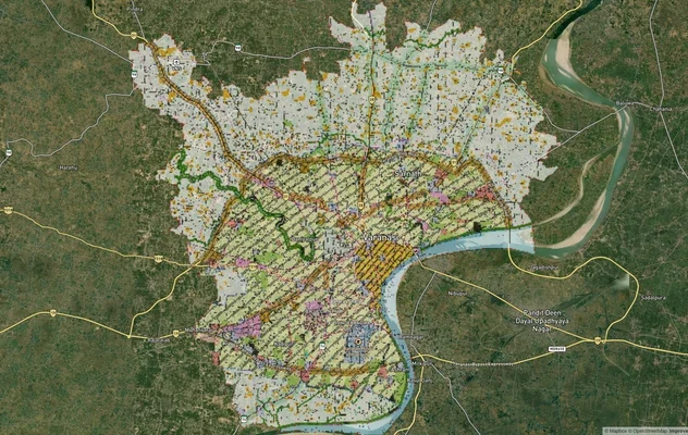
Varanasi Masterplan
View Varanasi Masterplan as a live map overlay – check any plot's land use zone for free on 1acre.in. VDA Master Plan 20...
More Layers in Uttar Pradesh
Ayodhya Masterplan
View Ayodhya Masterplan as a live map overlay – check any plot's land use zone for free on 1acre.in. Ayodhya masterplan ...
Lucknow Masterplan
View Lucknow Masterplan as a live map overlay – check any plot's land use zone for free on 1acre.in. Lucknow masterplan ...
Varanasi Masterplan
View Varanasi Masterplan as a live map overlay – check any plot's land use zone for free on 1acre.in. VDA Master Plan 20...