
Kanpur Road - Within Lucknow
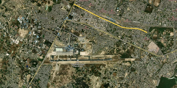

Kanpur Road Within Lucknow Preview
Try the Kanpur Road - Within Lucknow on the map
Sign in once and explore the layer for a full day.
- No card details needed
- Find nearby verified lands for sale
Overview
Kanpur Road Lucknow land buying decisions sit at the meeting point of three infrastructure events. The existing NH-27 Amausi corridor still carries most local traffic, the 63 km Awadh Expressway (NE-6) is in final-phase commissioning with the Lucknow package targeted for 2026, and the 104 km Outer Ring Road (NH-230) now connects Kanpur Road with Sultanpur Road, Faizabad Road and Hardoi Road. The Lucknow Development Authority (LDA) governs zoning here under the Master Plan 2031, covering 71,000 hectares and 197 villages. This page covers the zone rules, the LDA approvals that matter, and the corridors where appreciation is real versus speculative.
Regulatory Red Flags Specific to Kanpur Road Land Buyers
Two failures sink most plot deals along this belt. The first is buying outside an LDA approved layout Kanpur Road. The Master Plan 2031 has brought villages such as Banthara, Bani, Sarojini Nagar fringe and Mohanlalganj's northern edge into the wider planning area, but inclusion in the plan does not equal automatic sanction. Layout sanction, a Khasra-mapped building plan and a Completion Certificate are three separate documents. Plots advertised on Kanpur Road as "LDA approved" without quoting a sanction order number are typically panchayat or revenue-land plottings. A sub-registrar registry on its own does not confer building rights or home-loan eligibility. The LDA demolition drives across Gosainganj, Dubagga and adjoining peri-urban belts have shown that enforcement is no longer dormant.
The second trap is the agricultural conversion gap. Under the UP Zamindari Abolition and Land Reforms Act, agricultural land cannot host residential plotting without a Section 143 conversion order. Many Banthara Scooter India belt offers carry sale deeds but no conversion. Without it, the buyer holds a registry, no Khata, and no fit under the Master Plan 2031 residential zone. Cross-checking the Khasra number via UP Bhulekh, and the zone classification on the LDA GIS portal, are non-negotiable steps before paying.
Use this screen before you transfer any earnest money on a Kanpur Road plot.
Zone Code
Permitted Use
Requires LDA Approval?
Construction Allowed?
Residential (R1, R2)
Plotted housing, group housing
Yes, layout sanction
Yes, with building plan
Mixed Use
Residential plus limited commercial
Yes
Yes, FAR-bound
Industrial
Manufacturing, warehousing
Yes, plus UPSIDA where applicable
Yes
Agricultural
Farming only
Section 143 conversion needed
Construction prohibited otherwise
Green / Buffer
Canal and water-body buffer
Not for development
Layouts illegal
Transit Influence Zone
500 m on either side of metro
Higher FAR under TOD Policy 2022
Yes, with TOD norms
Zone Code
Permitted Use
Requires LDA Approval?
Construction Allowed?
Residential (R1, R2)
Plotted housing, group housing
Yes, layout sanction
Yes, with building plan
Mixed Use
Residential plus limited commercial
Yes
Yes, FAR-bound
Industrial
Manufacturing, warehousing
Yes, plus UPSIDA where applicable
Yes
Agricultural
Farming only
Section 143 conversion needed
Construction prohibited otherwise
Green / Buffer
Canal and water-body buffer
Not for development
Layouts illegal
Transit Influence Zone
500 m on either side of metro
Higher FAR under TOD Policy 2022
Yes, with TOD norms
The Awadh Expressway is access-controlled. Plots advertised as "expressway-facing" rarely connect to it directly, since entry from the Lucknow end is restricted to the Shaheed Path junction.
Growth Corridors and Micro-Markets on the Kanpur Road Belt
Not every kilometre of Kanpur Road carries the same upside. The investable pockets share three traits: location inside LDA jurisdiction with a sanctioned layout, alignment with a Master Plan 2031 scheme or an institutional anchor (Amausi airport, Scooters India, Sarojini Nagar tehsil belt), and proximity to either the Outer Ring Road interchange or the Awadh Expressway access at Shaheed Path-Bani. Speculative pockets sit on revenue land in fringe villages.
The table below maps each major Kanpur Road belt to its driver and the specific risk that follows it.
Corridor / Locality
Authority
Growth Driver
Known Risk
Aashiana / LDA Colony
LDA
Sector-wise LDA development
Settled prices, limited fresh supply
Krishna Nagar / Alambagh
LDA / Nagar Nigam
Metro Red Line, urban density
High base rates
Amausi airport belt
LDA / AAI
Airport proximity, NH-27 frontage
Possible funnel-zone height limits
Naubasta / Scooter India Chauraha
LDA
Awadh Expressway ramp junction
Construction delay near elevated section
Banthara village belt
LDA / Panchayat
Master Plan 2031 expansion edge
Revenue-land plotting common
Sarojini Nagar tehsil fringe
LDA / Tehsil
Outer Ring Road exit
Mixed sanction status
Bani / Outer Ring Road junction
LDA / NHAI
NH-230 to NE-6 trijunction
Service road access incomplete
Corridor / Locality
Authority
Growth Driver
Known Risk
Aashiana / LDA Colony
LDA
Sector-wise LDA development
Settled prices, limited fresh supply
Krishna Nagar / Alambagh
LDA / Nagar Nigam
Metro Red Line, urban density
High base rates
Amausi airport belt
LDA / AAI
Airport proximity, NH-27 frontage
Possible funnel-zone height limits
Naubasta / Scooter India Chauraha
LDA
Awadh Expressway ramp junction
Construction delay near elevated section
Banthara village belt
LDA / Panchayat
Master Plan 2031 expansion edge
Revenue-land plotting common
Sarojini Nagar tehsil fringe
LDA / Tehsil
Outer Ring Road exit
Mixed sanction status
Bani / Outer Ring Road junction
LDA / NHAI
NH-230 to NE-6 trijunction
Service road access incomplete
The most misunderstood pocket on this belt is the Banthara Scooter India belt. Buyers see the upcoming Awadh Expressway ramp at Scooter India Chauraha and the Outer Ring Road junction, and assume the upside is locked in. They miss that a 200-metre stretch near Scooter India Chauraha was a documented bottleneck, with elevated-section, ramp and toll-plaza works in the Lucknow package running into delays through 2025 and early 2026. Ramp commissioning is the value trigger, not the corridor announcement. Verify civil-works progress, not press-release timelines. The second misunderstood pocket is Bani. Acquisition for the Awadh Expressway touched 11 Lucknow villages totalling roughly 460 hectares jointly with Unnao. Plots at the village edge can sit inside the residual acquisition shadow. Demand the Bhulekh extract and the LDA zone overlay before any token.
Was this layer helpful?
Anything wrong, outdated, or missing we want to hear it.
For Land Owners & Agents
Looking to sell your land in Uttar Pradesh?
I want to sell my land in Uttar Pradesh
10:32
Plz share your Land's location - We will list it on 1acre map, for Free.
10:32


For Land Buyers
Browse all verified lands & plots in Uttar Pradesh
Every listing goes through our Preliminary Verification Process.
More Layers in Uttar Pradesh
See all 37 layers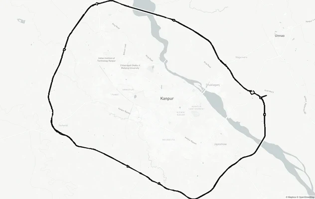
Kanpur Ring Road
View Kanpur Ring Road alignment as a live map overlay – check land acquisition risk and plot proximity free on 1acre.in.
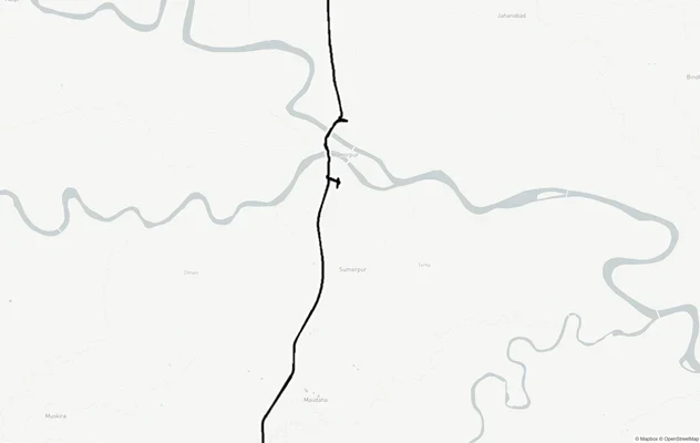
Kanpur - Kabrai Highway
View Kanpur - Kabrai Highway alignment as a live map overlay – check land acquisition risk and plot proximity free on 1a...
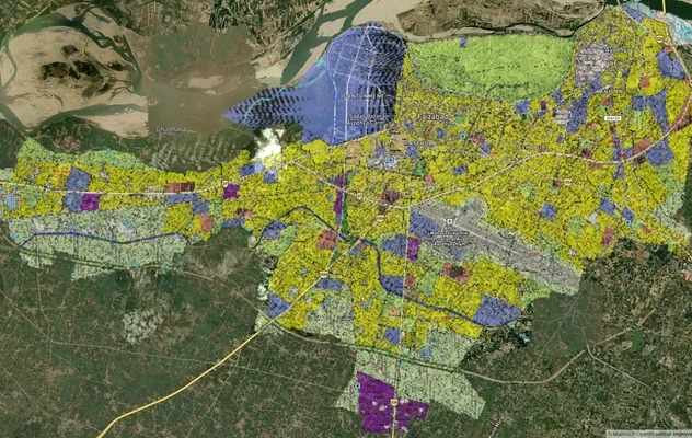
Ayodhya Masterplan
View Ayodhya Masterplan as a live map overlay – check any plot's land use zone for free on 1acre.in. Ayodhya masterplan ...
More Layers in Uttar Pradesh
Kanpur Ring Road
View Kanpur Ring Road alignment as a live map overlay – check land acquisition risk and plot proximity free on 1acre.in.
Kanpur - Kabrai Highway
View Kanpur - Kabrai Highway alignment as a live map overlay – check land acquisition risk and plot proximity free on 1a...
Ayodhya Masterplan
View Ayodhya Masterplan as a live map overlay – check any plot's land use zone for free on 1acre.in. Ayodhya masterplan ...