
Farrukhabad Link Expressway


Farrukhabad_link_expressway Preview
Try the Farrukhabad Link Expressway on the map
Sign in once and explore the layer for a full day.
- No card details needed
- Find nearby verified lands for sale
Overview
Farrukhabad Link Expressway land buying decisions rest on a project that remains at an early planning stage even though it connects to an already-operational expressway at one end. This proposed 92 kilometre road, developed by the Uttar Pradesh Expressways Industrial Development Authority, is designed to link the Agra-Lucknow and Bundelkhand Expressway interchange at Etawah with the Ganga Expressway at Hardoi, passing through Kannauj, Mainpuri, Farrukhabad, and Shahjahanpur along the way. Once complete, it will tie together four major expressways: Agra-Lucknow, Bundelkhand, Yamuna, and Ganga. As of the most detailed available reporting, land acquisition had not started and no Detailed Project Report had been published, even though the route itself was finalised and a drone survey of the project area had been conducted. It covers why the Ganga Expressway's own completion should not be mistaken for this connector's progress, which of the 35 affected villages carry genuine near-term relevance, and what stage this project actually needs to reach before land decisions here carry real confidence.
Farrukhabad Link Expressway Land Buying: Regulatory Red Flags You Cannot Ignore
The first and most important red flag is stage confusion. As of the most detailed available reporting on this project, it remained in the proposal stage: land acquisition had not begun, no Detailed Project Report had been prepared or published online, and construction bids had not yet been invited. A more recent update confirms the route itself has been finalised, connecting the Agra-Lucknow and Bundelkhand Expressway interchange at Etawah to the Ganga Expressway at Hardoi, and that a drone survey of the project area has been conducted to assess it. Route finalisation and a drone survey are real progress, but they are meaningfully earlier steps than land acquisition notification or construction tendering, and treating this project as "under construction" or "coming soon" overstates where it actually stands.
The second red flag is a borrowed-credibility risk specific to this project's timing. The Ganga Expressway, the anchor this link connects to at its eastern end, was inaugurated and opened to the public on April 29, 2026, becoming a fully operational, six-lane, 594 kilometre corridor connecting Meerut to Prayagraj. That is a genuine, confirmed piece of infrastructure. But the Farrukhabad Link Expressway itself is a separate, much earlier-stage project, and any land pitch that leans on "connectivity to the newly opened Ganga Expressway" without clarifying that the connecting link itself has not started construction is using a completed project's credibility to imply progress on an unrelated, unfinished one.
The table below sets out the project's core confirmed parameters as of the most recent reporting.
Parameter
Confirmed Detail
Length
Approximately 92 km
Western terminus
Agra-Lucknow and Bundelkhand Expressway interchange, Etawah
Eastern terminus
Ganga Expressway, Hardoi (now operational since April 2026)
Districts crossed
Etawah, Kannauj, Mainpuri, Farrukhabad, Shahjahanpur, Hardoi
Villages affected
Approximately 35
Land acquisition status
Not yet started as of the most detailed available reporting
DPR status
Not yet published online
Parameter
Confirmed Detail
Length
Approximately 92 km
Western terminus
Agra-Lucknow and Bundelkhand Expressway interchange, Etawah
Eastern terminus
Ganga Expressway, Hardoi (now operational since April 2026)
Districts crossed
Etawah, Kannauj, Mainpuri, Farrukhabad, Shahjahanpur, Hardoi
Villages affected
Approximately 35
Land acquisition status
Not yet started as of the most detailed available reporting
DPR status
Not yet published online
The third red flag is a lane-count inconsistency across available sources, worth noting because it affects the eventual right-of-way width and therefore which specific survey numbers ultimately fall inside the acquisition corridor. Earlier reporting described the project as a six-lane, access-controlled road, while more recent route-finalisation coverage describes it as four-lane. Until an official DPR is published, buyers should treat the exact lane configuration, and therefore the exact acquisition footprint, as unconfirmed.
The fourth red flag is the specific value proposition driving this project, which is worth understanding because it shapes realistic expectations for how development might unfold once built. Farrukhabad currently has no direct connectivity to any expressway at all, a gap explicitly described as having had a negative impact on local industries and businesses. The Link Expressway is specifically designed to fix that gap, and it is also framed as a benefit for villages along the Ganga River that are frequently affected by floods, since improved road connectivity supports faster access during flood-related disruptions. This is a genuinely different kind of project than a corridor built primarily for long-distance freight or high-speed intercity travel; its core value case is local connectivity for a currently underserved district.
Growth Corridors and Micro-Markets Along the Farrukhabad Link Route
The corridor's value pattern should be read through the lens of its current pre-construction stage, since every locality along this 92 kilometre stretch carries the same fundamental uncertainty: no confirmed acquisition boundary exists yet anywhere on the route.
Corridor / Locality
Position on Route
Character
Known Risk
Etawah (western terminus)
Interchange with Agra-Lucknow, Bundelkhand, and indirectly Yamuna Expressway
Already a significant multi-expressway junction point
Land here already carries value from existing connectivity independent of this specific link
Farrukhabad town
Mid-route, the project's namesake district
Currently has no direct expressway access of any kind
The primary intended beneficiary, but also the location most dependent on this specific unbuilt project actually proceeding
Kannauj and Mainpuri
Mid-corridor districts along the finalised route
Established district towns without current expressway access
Route passes through, but no acquisition notification has been issued for any specific survey number yet
Hardoi (eastern terminus)
Interchange with the now-operational Ganga Expressway
Already benefiting from Ganga Expressway completion independent of this link
Risk of buyers conflating Hardoi's existing Ganga Expressway access with this unrelated, unbuilt connector
Ganga River flood-belt villages
Scattered along the route in flood-prone stretches
Currently limited connectivity resilience during flood events
Genuine long-term benefit case, but timeline for delivery remains entirely unconfirmed
Corridor / Locality
Position on Route
Character
Known Risk
Etawah (western terminus)
Interchange with Agra-Lucknow, Bundelkhand, and indirectly Yamuna Expressway
Already a significant multi-expressway junction point
Land here already carries value from existing connectivity independent of this specific link
Farrukhabad town
Mid-route, the project's namesake district
Currently has no direct expressway access of any kind
The primary intended beneficiary, but also the location most dependent on this specific unbuilt project actually proceeding
Kannauj and Mainpuri
Mid-corridor districts along the finalised route
Established district towns without current expressway access
Route passes through, but no acquisition notification has been issued for any specific survey number yet
Hardoi (eastern terminus)
Interchange with the now-operational Ganga Expressway
Already benefiting from Ganga Expressway completion independent of this link
Risk of buyers conflating Hardoi's existing Ganga Expressway access with this unrelated, unbuilt connector
Ganga River flood-belt villages
Scattered along the route in flood-prone stretches
Currently limited connectivity resilience during flood events
Genuine long-term benefit case, but timeline for delivery remains entirely unconfirmed
Etawah and Hardoi, the two termini, deserve the most careful separation of "existing value" from "this project's value." Etawah already sits at a genuine multi-expressway interchange independent of the Farrukhabad Link, and Hardoi already benefits from the Ganga Expressway's actual operational status since April 2026. Land at either end can reasonably carry a premium tied to that existing, confirmed infrastructure. What it should not yet carry is an additional premium specifically for the Farrukhabad Link Expressway itself, since that project has not reached even the land acquisition stage.
Farrukhabad town is the most genuinely dependent locality on this list, and also the most misunderstood. It is explicitly the project's namesake and its core intended beneficiary, given its current total lack of direct expressway access. That makes it the location where this specific project's eventual completion would matter most. But it is also, by the same logic, the location most exposed if the project continues to sit at the proposal stage for an extended period, since Farrukhabad's connectivity gap does not close until this specific link is actually built, not simply proposed or route-finalised.
Was this layer helpful?
Anything wrong, outdated, or missing we want to hear it.
For Land Owners & Agents
Looking to sell your land in Uttar Pradesh?
I want to sell my land in Uttar Pradesh
10:32
Plz share your Land's location - We will list it on 1acre map, for Free.
10:32


For Land Buyers
Browse all verified lands & plots in Uttar Pradesh
Every listing goes through our Preliminary Verification Process.
More Layers in Uttar Pradesh
See all 38 layers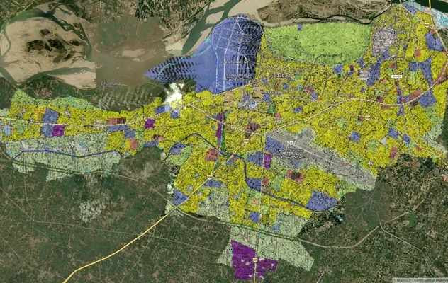
Ayodhya Masterplan
View Ayodhya Masterplan as a live map overlay – check any plot's land use zone for free on 1acre.in. Ayodhya masterplan ...
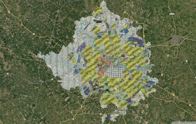
Lucknow Masterplan
View Lucknow Masterplan as a live map overlay – check any plot's land use zone for free on 1acre.in. Lucknow masterplan ...
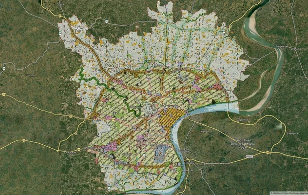
Varanasi Masterplan
View Varanasi Masterplan as a live map overlay – check any plot's land use zone for free on 1acre.in. VDA Master Plan 20...
More Layers in Uttar Pradesh
Ayodhya Masterplan
View Ayodhya Masterplan as a live map overlay – check any plot's land use zone for free on 1acre.in. Ayodhya masterplan ...
Lucknow Masterplan
View Lucknow Masterplan as a live map overlay – check any plot's land use zone for free on 1acre.in. Lucknow masterplan ...
Varanasi Masterplan
View Varanasi Masterplan as a live map overlay – check any plot's land use zone for free on 1acre.in. VDA Master Plan 20...