
Gorakhpur Bypass


Gorakhpur Bypass Preview
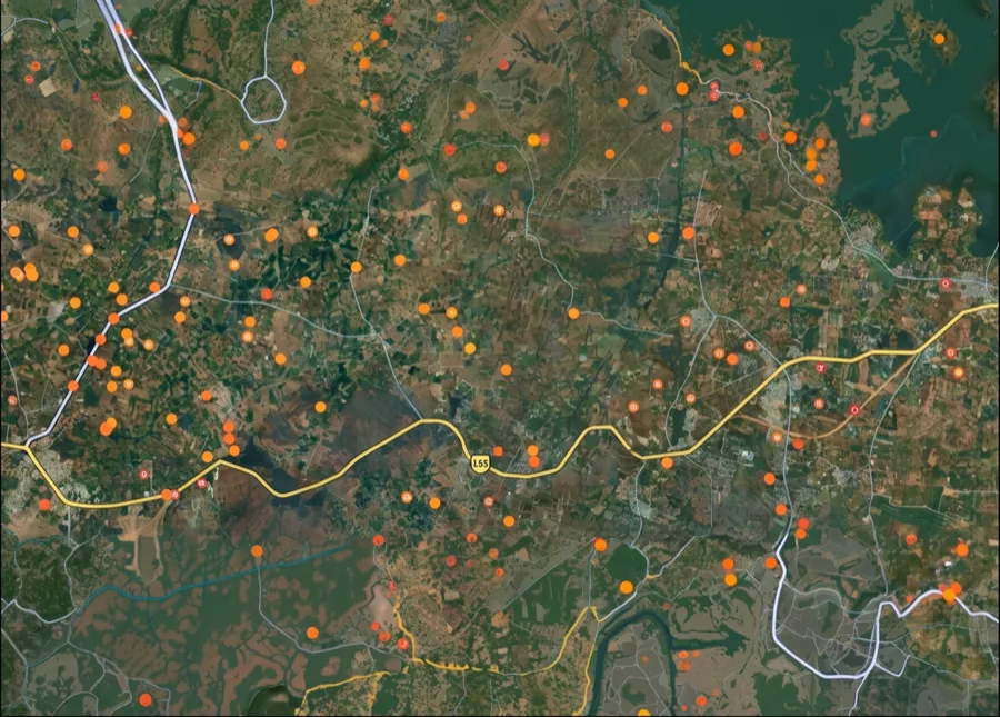
Try the Gorakhpur Bypass on the map
Sign in once and explore the layer for a full day.
- No card details needed
- Find nearby verified lands for sale
Overview
Gorakhpur Bypass land acquisition affects a specific 26.6 km greenfield stretch on the city's north-eastern side, starting near NH-29E at village Maniram and ending at NH-28 near Koni/Jagdishpur, cutting across 26 revenue villages of Gorakhpur tehsil and district. Gorakhpur Bypass is a live on 1acre, marking this masterplan corridor directly. The project sits inside NHDP Phase-VII and was categorised as a Category 'A' project given its cumulative environmental and social impact. This page covers the alignment, the active land acquisition dispute already unfolding in villages along this exact route, and where Gorakhpur's growth is concentrating.
Land Acquisition Disputes Along the Maniram-Balapar Corridor
The starting point of this bypass, village Maniram, is not just a highway chainage marker. It sits at the centre of an active, unresolved land acquisition fight tied to the "Naya Gorakhpur" township scheme. The Gorakhpur Development Authority is moving to compulsorily acquire roughly 400 acres in the northern villages of Balapar, Maniram, and Rahmatnagar after its earlier attempt to acquire land through mutual agreement failed to secure enough of it. Farmers argue the circle rates used to calculate compensation have not been revised since 2016, even as land values on Gorakhpur's outskirts have risen sharply since. Many have already taken the matter to court, and officials themselves expect the compulsory acquisition process to take roughly a year given the anticipated opposition.
Land Acquisition Disputes Along the Maniram-Balapar Corridor
Stage
What It Means
Buyer Action
Section 4 Notice
Formal notice inviting objections from affected farmers
Check whether your khasra falls in Balapar, Maniram, or Rahmatnagar
Social Impact Assessment (SIA)
Prerequisite report before Section 11 notification
Confirm SIA status for your specific village before assuming compensation timelines
Section 11 Notification
Formal declaration triggering acquisition proceedings
Verify this has been issued for your plot, not just for the general project area
Circle rate dispute
Base compensation value, unrevised since 2016 per farmer claims
Do not accept an initial compensation offer without checking for a court-ordered revision
There is precedent here for exactly this kind of dispute resolving in the landowner's favour, eventually. A separate Gorakhpur Development Authority acquisition at Manbella, initiated in 2009 at Rs 18 lakh per hectare, dragged on for years through farmer resistance and political intervention before a court-backed committee ultimately fixed a rate of roughly Rs 71 lakh per hectare, nearly four times the original offer. That case took the better part of a decade to resolve. Before accepting any compensation figure for land inside the Gorakhpur Bypass corridor, check whether the offered rate reflects a stale circle rate or a court-tested valuation, and be prepared for a multi-year process if the figure looks out of step with current land values nearby.
Where Gorakhpur's Growth Corridor Is Actually Moving
Gorakhpur's real estate momentum is concentrated around a handful of specific corridors, several of which sit close to or intersect with the bypass alignment. The Gorakhpur Link Expressway, which begins at Jaitpur village on the Gorakhpur Bypass itself, is one of the biggest connectivity upgrades driving this.
Where Gorakhpur's Growth Corridor Is Actually Moving
Corridor / Area
Growth Driver
Known Risk
Maniram
Bypass starting point, proximity to acquisition-affected villages
Sits inside active Naya Gorakhpur acquisition zone; compensation dispute unresolved
Medical Road / AIIMS corridor
AIIMS Gorakhpur, growing healthcare and student housing demand
Established demand driver, less speculative than newer bypass-adjacent land
Gorakhpur Link Expressway corridor (Jaitpur onward)
Direct link from the Bypass to Purvanchal Expressway via Azamgarh
Land near the interchange has already absorbed significant early appreciation since 2025 opening
New Gorakhpur Scheme (Koni, Takiya Medinipur, Madapar)
252-hectare planned township, government-approved
Early-stage; acquisition and planning still in progress
The most important thing to understand is that the bypass's northern terminus at Maniram is simultaneously a highway chainage point and the epicentre of the Naya Gorakhpur land dispute. Land near Jagdishpur/Koni at the bypass's eastern end sits closer to the government's own planned township, which may mean a different, more predictable acquisition path than the contested compulsory process underway at Maniram. Whichever end of the corridor you're evaluating, cross-check your specific khasra against both the bypass's official alignment and any overlapping GDA acquisition notification before treating proximity to the road as a straightforward positive.
For Land Owners & Agents
Looking to sell your land in Uttar Pradesh?
I want to sell my land in Uttar Pradesh
10:32
Plz share your Land's location - We will list it on 1acre map, for Free.
10:32

For Land Buyers
Browse all verified lands & plots in Uttar Pradesh
Every listing goes through our Preliminary Verification Process.
More Layers in Uttar Pradesh
See all 38 layers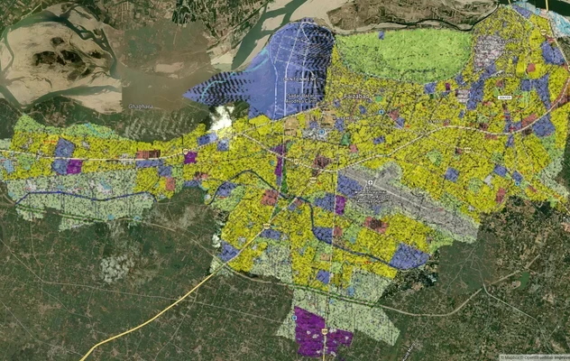
Ayodhya Masterplan
View Ayodhya Masterplan as a live map overlay – check any plot's land use zone for free on 1acre.in. Ayodhya masterplan ...
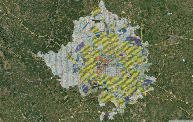
Lucknow Masterplan
View Lucknow Masterplan as a live map overlay – check any plot's land use zone for free on 1acre.in. Lucknow masterplan ...
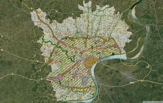
Varanasi Masterplan
View Varanasi Masterplan as a live map overlay – check any plot's land use zone for free on 1acre.in. VDA Master Plan 20...
More Layers in Uttar Pradesh
Ayodhya Masterplan
View Ayodhya Masterplan as a live map overlay – check any plot's land use zone for free on 1acre.in. Ayodhya masterplan ...
Lucknow Masterplan
View Lucknow Masterplan as a live map overlay – check any plot's land use zone for free on 1acre.in. Lucknow masterplan ...
Varanasi Masterplan
View Varanasi Masterplan as a live map overlay – check any plot's land use zone for free on 1acre.in. VDA Master Plan 20...
Frequently Asked Questions
The alignment starts near village Maniram on NH-29E and ends near Koni/Jagdishpur on NH-28, passing through 26 revenue villages of Gorakhpur tehsil and district.
Farmers argue that circle rates used to calculate compensation have not been revised since 2016, despite land values on Gorakhpur's outskirts rising significantly since then, and are demanding compensation at four times current market value.
It follows the standard Land Acquisition Act process: a Social Impact Assessment, a Section 4 notice inviting objections, and eventually a Section 11 notification, with the base value tied to the district's circle rate unless successfully challenged.
Yes. In the Manbella case, a Gorakhpur Development Authority acquisition initially valued at Rs 18 lakh per hectare was eventually raised to roughly Rs 71 lakh per hectare after a court-backed committee review, though the process took years.
Only checking against the official alignment and any specific acquisition notification for your village, such as Balapar, Maniram or Rahmatnagar, will confirm this. General news coverage of the project area is not sufficient.
The Gorakhpur Bypass is the 26.6 km greenfield stretch around the city's north-east side. The Gorakhpur Link Expressway is a separate, 91 km expressway that begins at Jaitpur village on the Bypass and extends to Salarpur in Azamgarh district.
Farmers in the ongoing Naya Gorakhpur dispute claim exactly this, alleging rates unchanged since 2016 despite significant land value increases on the city's outskirts.
The Medical Road/AIIMS corridor and the Gorakhpur Link Expressway corridor from Jaitpur onward are seeing the strongest documented demand, alongside the government-approved New Gorakhpur Scheme township area.
Source
Official government land and infrastructure records
Official Website
environmentclearance.nic.in
Coordinate Reference System
EPSG:4326 (WGS 84)
Geometry Type
LineString / MultiLineString
Data Format
Vector (GeoJSON) + Raster Tiles
Last Verified
2026
Status
Active
Was this layer helpful?
Anything wrong, outdated, or missing we want to hear it.