
Old Mumbai-Pune Highway
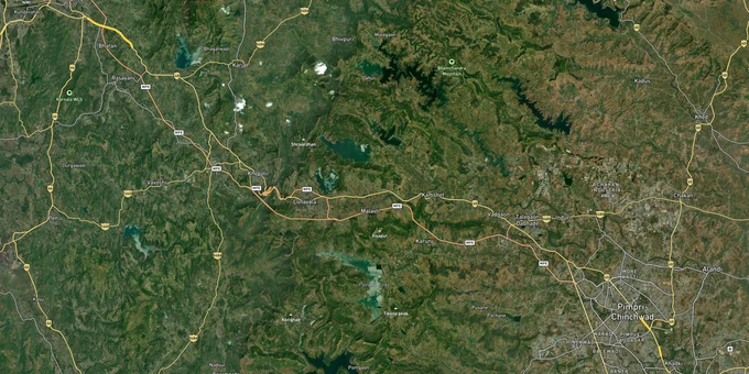

Old Mumbai Pune Highway Preview
Try the Old Mumbai-Pune Highway on the map
Sign in once and explore the layer for a full day.
- No card details needed
- Find nearby verified lands for sale
Overview
Old Mumbai-Pune Highway land buying tracks NH-48, the older national highway that once carried the entire goods movement between the two metros and still threads through Khopoli, Khalapur, Lonavala, Khandala and the Maval taluka villages. The corridor sits under two distinct planning regimes: the MSRDC SPA Development Plan covering 186.72 sq km across 71 villages of Panvel and Khalapur talukas, and the PMRDA Development Plan covering 6,051.76 sq km across 814 villages of the Pune metropolitan region. This page maps the legal traps, the active villages, and the questions buyers should answer before any cheque clears.
ESZ Buffers, NA Orders and the 7/12 Utara That Decides Everything
Two specific risks separate a clean Old Mumbai-Pune Highway parcel from one that will never receive a building permission. The first is buying inside a notified Eco-Sensitive Zone where construction is sharply restricted. The second is paying agricultural land rates for a parcel that has not received non-agricultural conversion from the District Collector.
Under the Maharashtra Regional and Town Planning Act 1966, every parcel along this stretch needs a clean 7/12 utara, a Collector's NA order, and a building permission issued under the applicable Development Plan. Four villages of the MSRDC SPA, namely Nadhal, Adoshi, Chavani and Talavali, fall inside the Western Ghats Ecologically Sensitive Area declared by the Union Environment Ministry in February 2017. Another four villages, Chowk Manivali, Lodhivali, Nadhal and Barwai, sit inside the buffer area of the Matheran ESZ notified on 4 February 2003. The Lonavala and Khandala reserved forest belt forms the southern boundary of the SPA, with ESZ buffers on three sides.
The table below maps how the corridor's land categories interact with permission status and risk.
Land Category
What It Means
Buildable?
Common Trap
Agricultural (kheti, in 7/12 utara)
Revenue land, no NA order yet
No
Sold at "future NA" rate without conversion proof
NA-converted (Collector order issued)
Agricultural status removed, NA mutation done
Yes, with DP zoning compliance
Confirm NA order number and mutation entry
Inside SPA notified area
Under MSRDC, PMRDA or MMRDA planning jurisdiction
Yes, with sanctioned plan
Layout must match the operative DP
Inside ESZ buffer (Matheran, Western Ghats, Lonavala)
Environmentally sensitive
Sharply restricted
Red-category use and high-FAR projects prohibited
Land Category
What It Means
Buildable?
Common Trap
Agricultural (kheti, in 7/12 utara)
Revenue land, no NA order yet
No
Sold at "future NA" rate without conversion proof
NA-converted (Collector order issued)
Agricultural status removed, NA mutation done
Yes, with DP zoning compliance
Confirm NA order number and mutation entry
Inside SPA notified area
Under MSRDC, PMRDA or MMRDA planning jurisdiction
Yes, with sanctioned plan
Layout must match the operative DP
Inside ESZ buffer (Matheran, Western Ghats, Lonavala)
Environmentally sensitive
Sharply restricted
Red-category use and high-FAR projects prohibited
The 7/12 utara NA permission Maharashtra trail is non-negotiable. Pull the latest 7/12 extract from the Mahabhulekh portal, cross-check the village survey number against the operative Development Plan, and verify the NA order signed by the Tahsildar or Sub-Divisional Officer. Any deal pitched on the strength of a saath khata or a society resolution alone is not a transaction, it is a story. If the seller cannot produce the NA order, the mutation entry, and the DP zoning extract together, the parcel is either still revenue land or sits inside an ESZ buffer that the broker is hoping you will not read.
Growth Corridors: Where the Old Highway Splits into Two Markets
The Old Mumbai-Pune Highway is not one corridor. It splits into two regulatory zones, with the Raigad belt under MSRDC SPA jurisdiction and the Pune-side villages under PMRDA. Each side carries its own price band, plan vintage and risk profile.
The Raigad arc covers Panvel, Khopoli, Khalapur and the climb up to Khandala. The Maval taluka segment on the Pune side runs from Lonavala past Talegaon Dabhade towards Kiwale and Pimpri-Chinchwad. The Mumbai-Pune Expressway runs parallel through most of this stretch and merges with NH-48 for a short distance near Khandala, and the under-construction missing link is reshaping the climb.
The table below summarises the corridor's main bands and the drivers attached to each.
Highway Band
Key Villages and Hubs
Primary Driver
Risk
Raigad arc (MSRDC SPA)
Panvel, Khopoli, Khalapur, Chowk, Lodhivali
NAINA proximity, NH-48 frontage, industrial spillover
Matheran ESZ buffer in 4 villages
Western Ghats climb
Adoshi, Nadhal, Chavani, Talavali
Tourism, weekend home demand
Western Ghats ESA restrictions notified February 2017
Lonavala-Khandala
Lonavala, Khandala, Sangade, Donvat, Golewadi
Hill station premium, second home market
Reserved forest boundary, ESZ on three sides
Maval taluka (PMRDA)
Talegaon Dabhade, Vadgaon, Kamshet, Kiwale
Pune metropolitan growth, Hinjewadi IT spillover
PMRDA TP schemes still being notified
Highway Band
Key Villages and Hubs
Primary Driver
Risk
Raigad arc (MSRDC SPA)
Panvel, Khopoli, Khalapur, Chowk, Lodhivali
NAINA proximity, NH-48 frontage, industrial spillover
Matheran ESZ buffer in 4 villages
Western Ghats climb
Adoshi, Nadhal, Chavani, Talavali
Tourism, weekend home demand
Western Ghats ESA restrictions notified February 2017
Lonavala-Khandala
Lonavala, Khandala, Sangade, Donvat, Golewadi
Hill station premium, second home market
Reserved forest boundary, ESZ on three sides
Maval taluka (PMRDA)
Talegaon Dabhade, Vadgaon, Kamshet, Kiwale
Pune metropolitan growth, Hinjewadi IT spillover
PMRDA TP schemes still being notified
The Mumbai Pune Expressway missing link is the single biggest infrastructure reset on the corridor. Construction began in March 2019. It includes two new tunnels, with the longest running 8.87 km at 23 m width, and two viaducts, one of them cable-stayed and passing below the Lonavala lake. Originally targeted for March 2024, the deadline has slipped to 2026. Once operational, it will shorten the climb by about 6 km and cut around 25 minutes off the Lonavala stretch. Khopoli is the most misread address on this belt. Brokers pitch every adjoining village layout at "Khopoli rate," but pockets in Lodhivali, Nadhal and Barwai fall inside the Matheran ESZ buffer where standard residential construction is restricted. Cross-reference the village name against the MSRDC SPA Development Plan and the ESZ notification before committing.
Was this layer helpful?
Anything wrong, outdated, or missing we want to hear it.

Access Survey NumbersAccess Maharashtra
Survey Numbers
Boundaries and numbers come from published state cadastral records. See all map layers.
Looking to sell your land in Maharashtra?

Browse all verified lands & plots in Maharashtra
More Layers in Maharashtra
See all 61 layers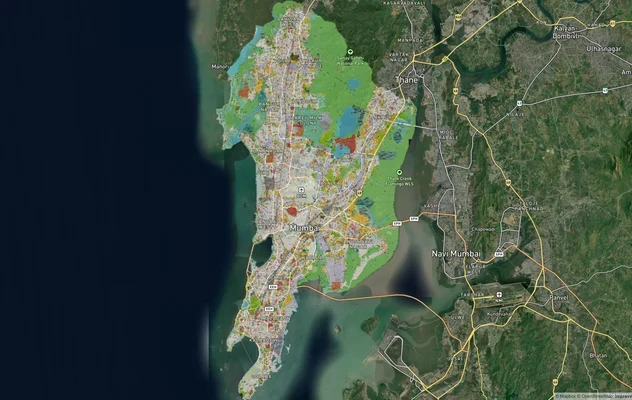
Mumbai Development Plan 2034: Zone Check and Land Use Guide
View Mumbai Masterplan as a live map overlay – check any plot's land use zone for free on 1acre.in. Mumbai masterplan 20...
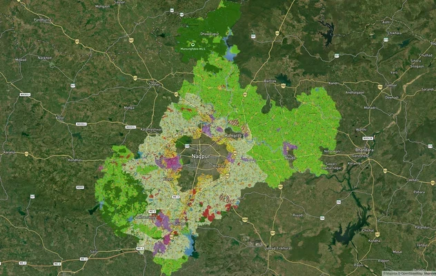
Nagpur Masterplan 2032: Zone Check and Land Use Guide
View Nagpur Masterplan as a live map overlay – check any plot's land use zone for free on 1acre.in. Nagpur Metropolitan ...
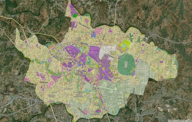
Pimpri Chinchwad PCMC Masterplan: Zone Check and Land Use Guide
View Pimpri Chinchwad Masterplan as a live map overlay – check any plot's land use zone for free on 1acre.in. Pimpri Chi...
More Layers in Maharashtra
Mumbai Development Plan 2034: Zone Check and Land Use Guide
View Mumbai Masterplan as a live map overlay – check any plot's land use zone for free on 1acre.in. Mumbai masterplan 20...
Nagpur Masterplan 2032: Zone Check and Land Use Guide
View Nagpur Masterplan as a live map overlay – check any plot's land use zone for free on 1acre.in. Nagpur Metropolitan ...
Pimpri Chinchwad PCMC Masterplan: Zone Check and Land Use Guide
View Pimpri Chinchwad Masterplan as a live map overlay – check any plot's land use zone for free on 1acre.in. Pimpri Chi...