
Maharashtra Coastal Highway MSH4
Overview
Maharashtra Coastal Highway MSH4 land records come with a warning most buyers only discover after they have already handed over their money: a clean sale deed and a clean title do not, on their own, mean you can build anything at all on that land. MSH4, also called the Revas-Reddi Coastal Highway or Sagari Mahamarg, runs from Mandwa near Mumbai harbour down through Raigad, Ratnagiri, and Sindhudurg districts to Reddi at the Goa border, tracing the entire Konkan coast for several hundred kilometres. For years, this road was less a proper highway than a scenic, patchy route regularly interrupted by boat crossings over tidal creeks, and the state is now building bridges to replace those slow ferries rather than constructing an entirely new road from scratch. Land anywhere near this route sits inside the Coastal Regulation Zone, a separate legal layer sitting quietly on top of the ordinary 7/12 extract and revenue record, and it is that layer, not the revenue record, that ultimately decides how much of a plot, if any, can actually be built on. This guide walks through what the road itself genuinely is, what the coastal rules mean for a buyer in practical terms, and where real, road-linked demand along this corridor is likely to show up first.
Regulatory Red Flags Along the MSH4 Coastal Corridor
Start with the single fact that changes almost everything about buying coastal Konkan land: the Coastal Regulation Zone notification of 2019 sits directly on top of ordinary land records, and it can make a plot with a perfectly clean title almost entirely unbuildable regardless of anything a sale deed says. This is not some local or minor rule tucked away in a village bylaw. It is a national framework, enforced in Maharashtra through the Maharashtra Coastal Zone Management Authority, and it splits every stretch of coast into four distinct categories. CRZ-I covers the most fragile ground, mangroves, sand dunes, turtle nesting beaches, and the strip between the high tide line and the low tide line, and this category is effectively closed to private construction altogether, full stop. CRZ-II covers already built-up urban coastal stretches, where construction generally follows the same ordinary town-planning rules as anywhere else in a city. CRZ-IV covers the water itself. The category that actually matters most to someone buying land along MSH4, though, is CRZ-III, which covers the relatively undisturbed rural coast, exactly the stretch where most weekend-home and farm-plot buyers in Raigad and the wider Konkan tend to be shopping right now.
CRZ-III itself splits again, and this particular split is where buyers most often get genuinely misled by sellers who either do not know better or hope the buyer will not ask. A village with a population density above 2,161 people per square kilometre, based on the 2011 census, falls into CRZ-III A, which allows a No Development Zone as narrow as 50 metres from the high tide line, but only once that specific area's Coastal Zone Management Plan has been formally approved. A quieter village below that same density threshold falls into CRZ-III B instead, and here the older, considerably stricter rule still applies in full: no permanent construction within 200 metres of the high tide line, with no exception whatsoever. This is precisely the trap that catches buyers out again and again. A seller pointing to a plot 100 metres from the beach and insisting the rules have loosened everywhere is either genuinely mistaken or actively misrepresenting the plot, because in a CRZ-III B village that same plot remains permanently unbuildable, regardless of what a general news headline about the 2019 notification might otherwise suggest to a casual reader.
Raigad, along with Thane, Palghar, Ratnagiri, and Sindhudurg, has had its Coastal Zone Management Plan formally approved by the National Coastal Zone Management Authority since 2023, which is itself a genuinely meaningful fact worth knowing. It means the zone lines for any given village along this stretch are no longer a matter of vague guesswork; they exist on an approved map somewhere, and any serious buyer should ask to see the exact reference for the specific survey number in question, rather than simply accepting a general assurance that "this whole area is fine, don't worry about it." A further complication specific to Maharashtra involves mangrove cover. Following a Bombay High Court ruling in a long-running public interest litigation, decided in September 2018, every mangrove patch in the state, whether standing on government land or on somebody's private land, is treated as forest outright, and it carries an automatic 50-metre buffer that is itself classified under the strictest CRZ category available. A plot backing onto even a small mangrove stand along a Konkan creek can lose a genuinely meaningful chunk of its usable area to this buffer alone, entirely separate from whatever setback the high tide line itself already imposes on that same plot.
Regulatory Red Flags Along the MSH4 Coastal Corridor
Coastal Land Term
What It Proves
Needs Separate Approval?
Blocks Construction Without It?
Commonly Misused?
7/12 extract
Ownership, area, and land classification
No
Yes, for registration
A clean 7/12 says nothing about CRZ buildability
CZMP zone reference
Confirms which CRZ category a specific survey number falls into
No
Yes, determines the applicable setback
Sellers often describe a general "CRZ-III" status without the exact sub-category
MCZMA clearance
Prior approval confirming a specific project complies with CRZ rules
Yes, Maharashtra Coastal Zone Management Authority
Yes, for any coastal construction
Sometimes substituted with only a Gram Panchayat or municipal NOC, which is not equivalent
Mangrove buffer status
Confirms whether a 50-metre no-build strip applies near mangrove cover
Determined by Forest Department mapping
Yes, absolute within the buffer
Often invisible on a simple site visit, especially outside monsoon season
Coastal Land Term
What It Proves
Needs Separate Approval?
Blocks Construction Without It?
Commonly Misused?
7/12 extract
Ownership, area, and land classification
No
Yes, for registration
A clean 7/12 says nothing about CRZ buildability
CZMP zone reference
Confirms which CRZ category a specific survey number falls into
No
Yes, determines the applicable setback
Sellers often describe a general "CRZ-III" status without the exact sub-category
MCZMA clearance
Prior approval confirming a specific project complies with CRZ rules
Yes, Maharashtra Coastal Zone Management Authority
Yes, for any coastal construction
Sometimes substituted with only a Gram Panchayat or municipal NOC, which is not equivalent
Mangrove buffer status
Confirms whether a 50-metre no-build strip applies near mangrove cover
Determined by Forest Department mapping
Yes, absolute within the buffer
Often invisible on a simple site visit, especially outside monsoon season
The practical rule for anyone looking at land near MSH4 is genuinely straightforward, even though the underlying legal framework behind it is anything but simple: never treat a clean sale deed as proof of buildability on its own. Ask specifically for the CZMP reference by survey number, confirm the exact population-density category the village actually falls under, and check separately for any mangrove cover nearby. A beautiful, sea-facing plot along this coast can still leave a buyer with only a small, legally buildable pocket once all three of these checks have genuinely been done properly.
Growth Corridors Along the MSH4 Coastal Route
MSH4's own story is really two separate projects running at the same time, and it is worth being precise about exactly which one applies to a given stretch of land before getting excited about either. The Revas-Reddi Coastal Highway project is not building an entirely new road from the ground up. It is instead closing the gaps in the existing Sagari Mahamarg by constructing bridges over the tidal creeks that have historically forced travellers onto slow, limited-capacity RO-RO ferries for part of every journey. The bridges already tendered cover the Kundalika Creek between Revdanda and Salav, the Bankot Creek between Kolmandia and Veshvi, the Dabhol Creek between Dapoli and Guhagar, the Jaigad Creek between Tawsal and Jaigad, a crossing at Kalbadevi Creek in Ratnagiri, and one at Kunkeshwar in Sindhudurg. Each of these closes a specific bottleneck that has long defined travel along this coast, where a single missed ferry could easily add hours to a journey that should otherwise take minutes. This is explicitly a different, considerably more modest undertaking than the separate, greenfield, access-controlled Konkan Expressway also being planned for the wider region, and the two should genuinely not be confused when reading news coverage about "Konkan connectivity" in general.
For land near Raigad specifically, sitting at the northern end of this corridor closest to Mumbai, the practical effect of these bridge projects is to meaningfully shrink travel time to villages that were previously cut off for part of the day by fixed ferry schedules. A weekend-home buyer looking at land near Revdanda or Salav, for instance, is looking at a stretch that will soon have a permanent bridge rather than a ferry queue, which represents a genuine and measurable improvement in accessibility, distinct from any more speculative promise tied to a future expressway that may still be years away. Further south, the villages along the Dabhol and Jaigad creek crossings sit within the Ratnagiri stretch of this same highway, and interest in second-home and tourism-linked land along the entire Sagari Mahamarg route has grown steadily as the road itself has slowly become more continuous and considerably less dependent on boats to actually get anywhere.
Growth Corridors Along the MSH4 Coastal Route
Location
Growth Driver
Known Consideration
Revdanda-Salav (Kundalika Creek, Raigad)
New bridge replacing an existing ferry crossing
Confirm CRZ category and CZMP reference before assuming buildability
Kolmandia-Veshvi (Bankot Creek)
Bridge project closing a historic travel bottleneck
Village population density determines CRZ-III A or III B status
Dapoli-Guhagar (Dabhol Creek, Ratnagiri)
Improved through-connectivity along the Sagari Mahamarg
Established tourism demand already exists independent of the bridge
Alibaug and wider Raigad shoreline
General Mumbai-adjacent weekend-home demand
Mangrove buffers and high tide line setbacks apply strictly here
Location
Growth Driver
Known Consideration
Revdanda-Salav (Kundalika Creek, Raigad)
New bridge replacing an existing ferry crossing
Confirm CRZ category and CZMP reference before assuming buildability
Kolmandia-Veshvi (Bankot Creek)
Bridge project closing a historic travel bottleneck
Village population density determines CRZ-III A or III B status
Dapoli-Guhagar (Dabhol Creek, Ratnagiri)
Improved through-connectivity along the Sagari Mahamarg
Established tourism demand already exists independent of the bridge
Alibaug and wider Raigad shoreline
General Mumbai-adjacent weekend-home demand
Mangrove buffers and high tide line setbacks apply strictly here
The honest way to read this corridor is to separate accessibility from buildability entirely, treating them as two genuinely unrelated questions rather than assuming one automatically answers the other. The bridges genuinely underway will make travel along MSH4 faster and more reliable, and that alone tends to lift buyer interest in nearby land almost immediately. But faster travel time changes absolutely nothing about what the Coastal Regulation Zone actually allows a specific plot to become. A parcel that becomes easier to reach is not automatically a parcel that can legally carry a house, a resort, or any other structure at all, and the CRZ category, the CZMP reference, and any mangrove buffer nearby remain the real determinants of value here, regardless of how much closer the new bridges eventually bring a buyer to the sea itself.
क्या यह लेयर सहायक थी?
Anything wrong, outdated, or missing we want to hear it.
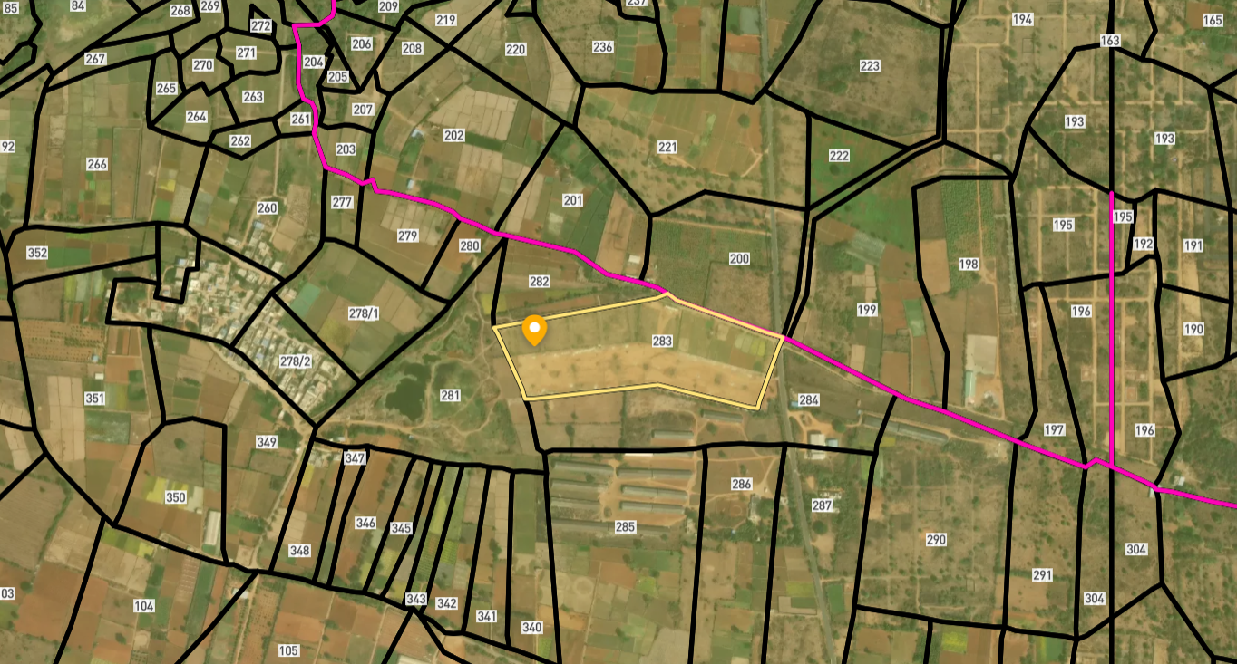
सर्वे नंबर देखेंMaharashtra
के सर्वे नंबर देखें
सीमाएँ और नंबर राज्य के प्रकाशित भू-अभिलेखों से लिए गए हैं। सभी मैप लेयर्स देखें।
Maharashtra में अपनी ज़मीन बेचना चाहते हैं?

Maharashtra में सभी सत्यापित ज़मीन और प्लॉट ब्राउज़ करें
Maharashtra में और लेयर्स
सभी 61 लेयर्स देखें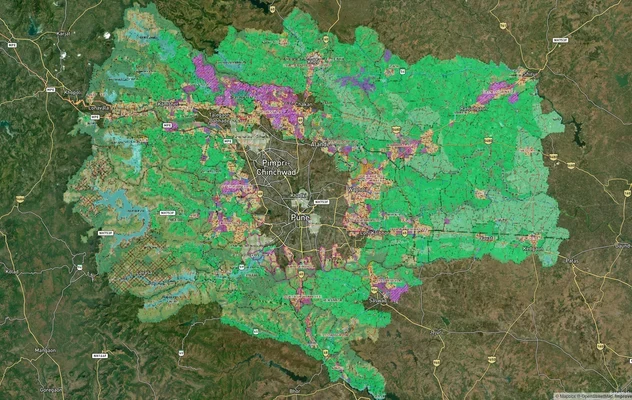
PMRDA मास्टरप्लान: पुणे मेट्रोपॉलिटन रीजन ज़ोन चेक
1acre.in पर PMRDA मास्टरप्लान को लाइव मैप ओवरले के रूप में देखें – किसी भी प्लॉट का लैंड यूज़ ज़ोन मुफ़्त में चेक करें. ...
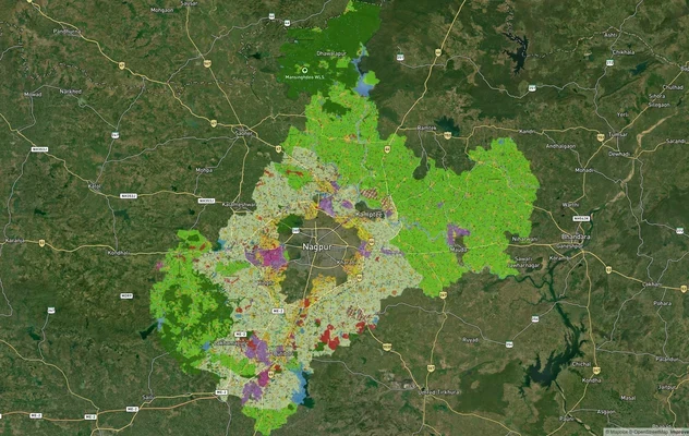
नागपुर मास्टरप्लान 2032: ज़ोन चेक और लैंड यूज़ गाइड
1acre.in पर नागपुर मास्टरप्लान को लाइव मैप ओवरले के रूप में देखें – किसी भी प्लॉट का लैंड यूज़ ज़ोन मुफ़्त में चेक करें....
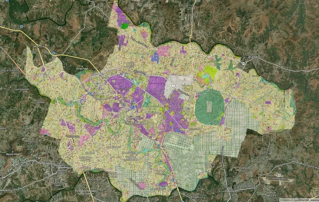
पिंपरी चिंचवड PCMC मास्टर प्लान: ज़ोन चेक और लैंड यूज़ गाइड
पिंपरी चिंचवड मास्टर प्लान को लाइव मैप ओवरले के रूप में देखें – 1acre.in पर किसी भी प्लॉट का लैंड यूज़ ज़ोन मुफ़्त में च...
Maharashtra में और लेयर्स
PMRDA मास्टरप्लान: पुणे मेट्रोपॉलिटन रीजन ज़ोन चेक
1acre.in पर PMRDA मास्टरप्लान को लाइव मैप ओवरले के रूप में देखें – किसी भी प्लॉट का लैंड यूज़ ज़ोन मुफ़्त में चेक करें. ...
नागपुर मास्टरप्लान 2032: ज़ोन चेक और लैंड यूज़ गाइड
1acre.in पर नागपुर मास्टरप्लान को लाइव मैप ओवरले के रूप में देखें – किसी भी प्लॉट का लैंड यूज़ ज़ोन मुफ़्त में चेक करें....
पिंपरी चिंचवड PCMC मास्टर प्लान: ज़ोन चेक और लैंड यूज़ गाइड
पिंपरी चिंचवड मास्टर प्लान को लाइव मैप ओवरले के रूप में देखें – 1acre.in पर किसी भी प्लॉट का लैंड यूज़ ज़ोन मुफ़्त में च...