
Kundalika River Bridge (Maharashtra Coastal Highway)


Kundalika River Bridge Maharashtra Coastal Highway Preview
Try the Kundalika River Bridge (Maharashtra Coastal Highway) on the map
Sign in once and explore the layer for a full day.
- No card details needed
- Find nearby verified lands for sale
Overview
Kundalika River Bridge Maharashtra Coastal Highway refers to the 3.8 km major bridge under construction between Revdanda and Salav across the Kundalika Creek in Raigad district, part of the Revas-Reddi Coastal Highway (Maharashtra State Highway 4). Kundalika River Bridge is a live on 1acre. MSRDC awarded the EPC contract for this bridge in 2024, alongside a similar structure at Jaigad Creek, as part of a wider programme of eight new bridges connecting existing coastal towns along the Arabian Sea. This page covers the project's status, the coastal regulatory risk that comes with any land near this corridor, and where Raigad's coastal real estate boom is actually concentrating.
CRZ Risk and the Bridge's Regulatory History
This is not the first bridge at this crossing. The earlier Revdanda-Salav creek bridge, which opened up the stretch south to Murud-Janjira, developed structural cracks reported as far back as 2019, and the current 3.8 km, two-lane replacement is being built under EPC mode with a 120-month defect liability period specifically to avoid a repeat. MSRDC's own project documentation for the wider Revas-Reddi Coastal Highway explicitly flags forest and mangrove land acquisition requirements along the alignment, since the road runs largely within the Coastal Regulation Zone.
CRZ Risk and the Bridge's Regulatory History
Risk Factor
What It Means
Buyer Action
CRZ proximity
Most of the coastal highway corridor sits within 500m of the high tide line
Confirm any plot's CRZ classification before assuming construction rights
Mangrove/forest land acquisition
DPR documents note forest and mangrove diversion needs along the alignment
Check whether your specific khasra falls in a notified diversion zone
Structural history
Predecessor bridge at this exact crossing cracked and needed full replacement
Infrastructure delivery timelines here have a track record of slipping
Raigad district has a well-documented history of CRZ-related compensation disputes that any coastal land buyer should know about, even if not directly tied to this bridge. The National Green Tribunal has previously found government and public agencies liable for large-scale mangrove destruction elsewhere in the district, ordering compensation running into tens of crores of rupees to affected fishing families after finding reclamation work proceeded without proper environmental clearance or resettlement planning. That precedent matters directly here: any construction or land-use change near the Kundalika crossing that touches mangrove or intertidal zones carries real regulatory and financial exposure, not just for government agencies but for anyone developing land nearby without proper CRZ clearance.
Where Raigad's Coastal Land Boom Is Actually Landing
The Kundalika Bridge sits inside one of Mumbai Metropolitan Region's fastest-appreciating coastal corridors right now. Alibaug, roughly 17 km north of Revdanda, has seen land prices rise from about Rs 2,884 per sq ft in 2018 to Rs 7,210 per sq ft in 2025, with one independent research report projecting a further 3x to 3.5x increase over the next five to six years, backed by over Rs 66,600 crore in planned and ongoing infrastructure investment.
Where Raigad's Coastal Land Boom Is Actually Landing
Location
Growth Driver
Known Risk
Alibaug (Mandwa, Zirad, Nagaon)
Atal Setu cutting Mumbai travel time to 1-1.5 hours; tourism nearly doubled since 2020
Premium micro-markets already show first-wave appreciation; entry cost is high
Revdanda / Chaul
Directly adjacent to the new Kundalika Bridge; historic fort town
Described as still a "pre-VAMC" pricing window, meaning appreciation has not fully priced in yet
Murud / Kashid
Southern end of the coastal highway once the bridge opens
Currently constrained by road conditions pending bridge completion
Revas-Karanja Bridge zone
Proposed link cutting Navi Mumbai-Alibaug travel to 30 minutes
Still proposed, not yet under construction
The most important insight for a buyer here is timing relative to infrastructure delivery. Analysts note that markets typically take three to seven years to fully price in a major infrastructure improvement, and Revdanda and interior Raigad specifically are flagged as still being in a "pre-VAMC" (Virar-Alibaug Multimodal Corridor) pricing window, distinct from the separate Konkan Expressway project. Since this stretch of highway has a documented history of slipped timelines, from the original bridge's structural failure to the ongoing EPC tender process, treat any "opens next year" claim from a broker with real skepticism, and weigh entry price against a multi-year, not multi-month, horizon.
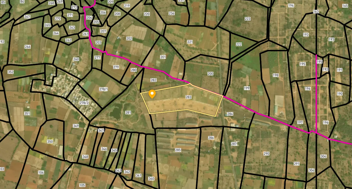
Access Survey NumbersAccess Maharashtra
Survey Numbers
Boundaries and numbers come from published state cadastral records. See all map layers.
Looking to sell your land in Maharashtra?

Browse all verified lands & plots in Maharashtra
More Layers in Maharashtra
See all 60 layers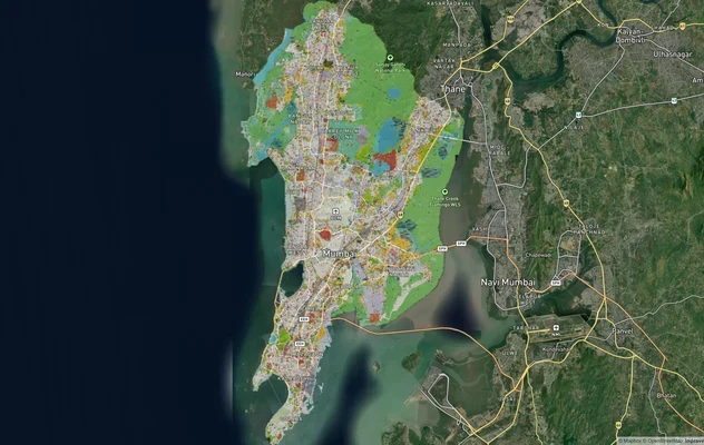
Mumbai Development Plan 2034: Zone Check and Land Use Guide
View Mumbai Masterplan as a live map overlay – check any plot's land use zone for free on 1acre.in. Mumbai masterplan 20...
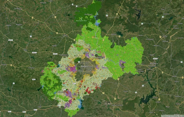
Nagpur Masterplan 2032: Zone Check and Land Use Guide
View Nagpur Masterplan as a live map overlay – check any plot's land use zone for free on 1acre.in. Nagpur Metropolitan ...
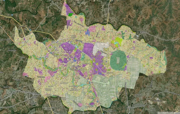
Pimpri Chinchwad PCMC Masterplan: Zone Check and Land Use Guide
View Pimpri Chinchwad Masterplan as a live map overlay – check any plot's land use zone for free on 1acre.in. Pimpri Chi...
More Layers in Maharashtra
Mumbai Development Plan 2034: Zone Check and Land Use Guide
View Mumbai Masterplan as a live map overlay – check any plot's land use zone for free on 1acre.in. Mumbai masterplan 20...
Nagpur Masterplan 2032: Zone Check and Land Use Guide
View Nagpur Masterplan as a live map overlay – check any plot's land use zone for free on 1acre.in. Nagpur Metropolitan ...
Pimpri Chinchwad PCMC Masterplan: Zone Check and Land Use Guide
View Pimpri Chinchwad Masterplan as a live map overlay – check any plot's land use zone for free on 1acre.in. Pimpri Chi...
Frequently Asked Questions
It is a 3.8 km major bridge connecting Revdanda in Alibag taluka with Salav in Murud taluka across the Kundalika Creek, part of the Revas-Reddi Coastal Highway (MSH-4) in Raigad district.
No. It is explicitly part of the Revas-Reddi Coastal Highway, which connects the existing Maharashtra State Highway 4 by building bridges over creeks. This is a separate project from the greenfield, access-controlled Konkan Expressway.
The earlier bridge at this crossing developed structural cracks, reported as far back as 2019, prompting MSRDC to tender a new EPC-mode replacement with a 120-month defect liability period.
Yes. Much of the Revas-Reddi Coastal Highway alignment sits within Coastal Regulation Zone limits, and MSRDC's own project documents flag forest and mangrove land acquisition requirements along the route.
Yes. The National Green Tribunal ordered CIDCO, JNPT and ONGC to pay over Rs 95 crore to 1,630 fishing families in Raigad district after finding mangrove destruction from unauthorised reclamation work.
An independent Liases Foras report projects Alibaug land values could appreciate 3x to 3.5x over the next five to six years, with prices already rising from Rs 2,884 per sq ft in 2018 to Rs 7,210 per sq ft in 2025.
The Revas-Reddi Coastal Highway upgrades the existing MSH-4 route with new creek bridges, including this one. The Virar-Alibaug Multimodal Corridor is a separate, larger 126 km, 14-lane greenfield expressway project by MSRDC.
Analysts describe Revdanda and interior Raigad as still within a "pre-VAMC" pricing window, meaning infrastructure-driven appreciation has not yet fully priced in, though timelines on this exact corridor have historically slipped.
Source
Official government land and infrastructure records
Coordinate Reference System
EPSG:4326 (WGS 84)
Geometry Type
LineString / MultiLineString
Data Format
Vector (GeoJSON) + Raster Tiles
Last Verified
2026
Status
Active
Was this layer helpful?
Anything wrong, outdated, or missing we want to hear it.