
Pagote-Chowk Expressway


Pagote Chowk Expressway Preview
Try the Pagote-Chowk Expressway on the map
Sign in once and explore the layer for a full day.
- No card details needed
- Find nearby verified lands for sale
Overview
The Pagote Chowk expressway Navi Mumbai project is a 29.219 km, six-lane access-controlled greenfield national highway from JNPA Port at Pagote village to Chowk junction on NH-48, cleared by the CCEA on BOT (Toll) mode at ₹4,500.62 crore.
The corridor cuts through 29 villages in Uran, Panvel, and Khalapur talukas of Raigad district, with a 60-metre right of way already notified.This page covers the notified strip, the NAINA overlap, and the checks buyers must run before signing anything along the route.
NHAI Pagote Chowk Land Acquisition and the NAINA CIDCO Panvel Overlap
The critical fact most buyers miss: the same plot can sit inside both the NHAI notified acquisition strip and the NAINA CIDCO Panvel planning area. That double jurisdiction changes everything about how the plot can be sold, converted, or built on.
Under Section 3(A) and 3(D) of the National Highways Act, once NHAI notifies land, the owner can no longer transfer clean title, and compensation moves to Land Acquisition Collector rates in Raigad district, not the ready reckoner.
The table below shows the document stack you must verify on any parcel near the alignment.
NHAI Pagote Chowk Land Acquisition and the NAINA CIDCO Panvel Overlap
Zone / Document
What It Governs
Required Before Purchase?
Common Trap
NH acquisition strip (60m RoW)
Highway alignment
Confirm plot is outside notified strip
Sold as agricultural, already notified
NAINA U1 / U2 Zone (CIDCO)
Development potential 0.2 to 0.35 FSI
Sanctioned DCPR check
Sold as “1.0 FSI” without TPS finalisation
G1 / G2 Zone (CIDCO)
0.05 to 0.1 FSI, low buildability
Zone map from CIDCO
Marketed as residential
MSRDC SPA (71 villages)
Panvel and Khalapur planning control
SPA jurisdiction confirmation
Confused with NAINA
NA order (Sanad) + 7/12 extract
Legal buildability
Both mandatory
Old 7/12 without mutation entries
If the seller cannot produce the current 7/12 extract, the mutation (ferfar) chain, and written confirmation that the survey number sits outside the 100-metre corridor already acquired by NHAI, treat the plot as unbuyable. No brokerage price gets around a 3(D) notification.
Pagote Chowk Expressway Route and the Uran Panvel Khalapur Villages
The alignment starts at Pagote near JNPA (Design km 0.000), runs through 29 villages across three talukas, and terminates at Chowk on NH-48 (Design km 29.219). Two Sahyadri tunnels of 1.9 km and 1.57 km replace the ghat section, which is why the corridor’s eastern flank shifts value more sharply than the western.
The table below sorts the affected zones by investability along the Pagote Chowk expressway route.
Pagote Chowk Expressway Route and the Uran Panvel Khalapur Villages
Corridor / Locality
Planning Authority
Growth Driver
Known Risk
Pagote (Uran taluka)
NAINA / CIDCO
JNPA port link, NH-348 head
Full acquisition, thin resale liquidity
Uran-Chirner belt
CIDCO 22.5% scheme
Reliance SEZ, port logistics
Gaothan boundary disputes
Panvel Palaspe-Kolkhe
NAINA TPS zones
Airport, Atal Setu spillover
TPS final plot allocation pending
Khalapur (Chowk end)
MSRDC SPA
NH-48 interchange
Western Ghats eco-sensitive buffer
Karjat side (via Chowk)
Raigad Regional Plan 1991
Second Mumbai-Pune corridor
Agricultural without NA order
The most misread segment is the Uran-Chirner belt. Buyers assume proximity to JNPA guarantees appreciation. It does not. Large tracts inside the 22.5% CIDCO scheme are already earmarked for infrastructure return to CIDCO, and the transferable component to the original landholder is limited. Confirm scheme category on the CIDCO Sanctioned DCPR before treating any Uran plot as freehold.
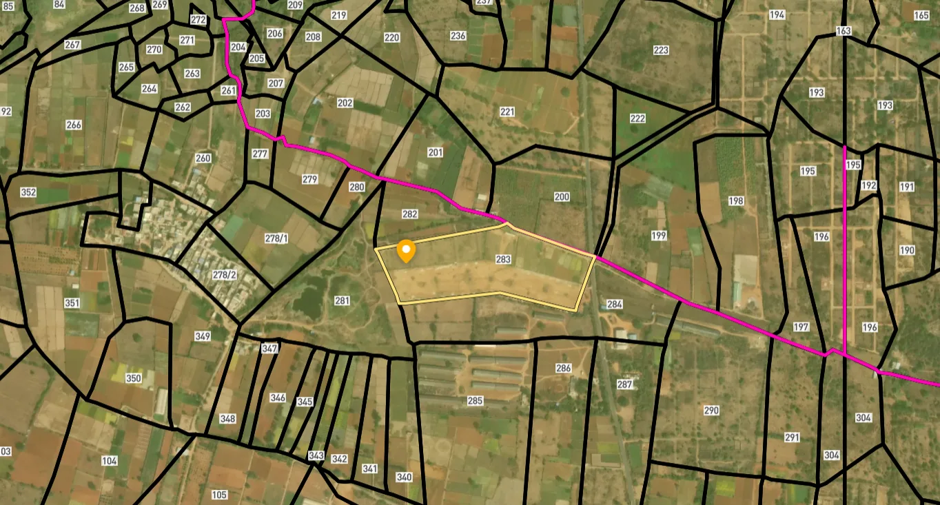
Access Survey NumbersAccess Maharashtra
Survey Numbers
Boundaries and numbers come from published state cadastral records. See all map layers.
Looking to sell your land in Maharashtra?

Browse all verified lands & plots in Maharashtra
More Layers in Maharashtra
See all 60 layers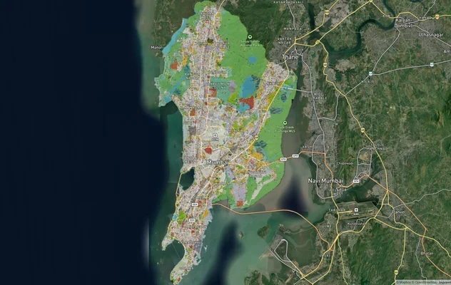
Mumbai Development Plan 2034: Zone Check and Land Use Guide
View Mumbai Masterplan as a live map overlay – check any plot's land use zone for free on 1acre.in. Mumbai masterplan 20...
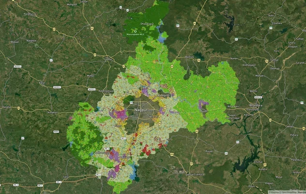
Nagpur Masterplan 2032: Zone Check and Land Use Guide
View Nagpur Masterplan as a live map overlay – check any plot's land use zone for free on 1acre.in. Nagpur Metropolitan ...
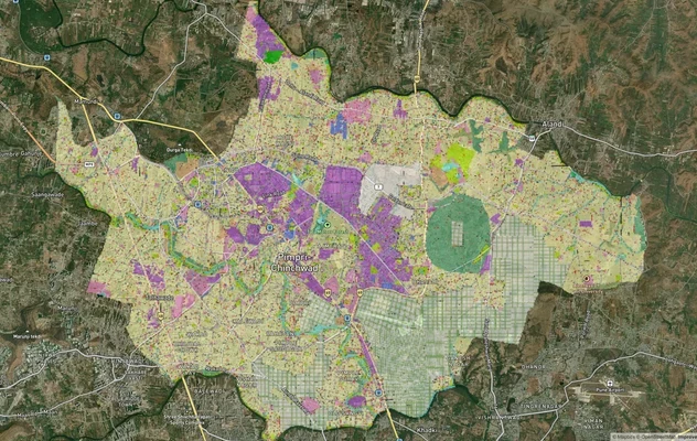
Pimpri Chinchwad PCMC Masterplan: Zone Check and Land Use Guide
View Pimpri Chinchwad Masterplan as a live map overlay – check any plot's land use zone for free on 1acre.in. Pimpri Chi...
More Layers in Maharashtra
Mumbai Development Plan 2034: Zone Check and Land Use Guide
View Mumbai Masterplan as a live map overlay – check any plot's land use zone for free on 1acre.in. Mumbai masterplan 20...
Nagpur Masterplan 2032: Zone Check and Land Use Guide
View Nagpur Masterplan as a live map overlay – check any plot's land use zone for free on 1acre.in. Nagpur Metropolitan ...
Pimpri Chinchwad PCMC Masterplan: Zone Check and Land Use Guide
View Pimpri Chinchwad Masterplan as a live map overlay – check any plot's land use zone for free on 1acre.in. Pimpri Chi...
Frequently Asked Questions
The alignment is officially fixed. Under NHAI’s BOT concession, it begins at Pagote village on NH-348 near JNPA Port (Design km 0.000) and ends at its junction with NH-48 at Chowk in Raigad district (Design km 29.219).
The CCEA approved capital cost is ₹4,500.62 crore on Build-Operate-Transfer (Toll) mode, with a 20-year concession including 30 months of construction. In March 2026, the Centre revised the Pagote-Chowk package cost to roughly ₹5,000 crore.
Yes. In March 2026, Union Minister Nitin Gadkari confirmed the Pagote-Chowk stretch as the first construction package of the broader Mumbai-Bengaluru corridor, with 202 km of additional packages planned across Maharashtra and Karnataka.
The 29.219 km corridor passes through 29 villages across the Uran, Panvel, and Khalapur talukas of Raigad district. The exact village list sits in the NHAI 3(A) and 3(D) gazette notifications available at the Raigad Land Acquisition Department.
Yes, partly. NAINA under CIDCO covers 174 villages across Panvel, Pen, and Uran talukas over 225.59 sq km. The Pagote and Panvel-side stretches overlap NAINA jurisdiction, while the Khalapur end sits under MSRDC SPA.
The 7/12 extract, NA order (sanad), mutation entries, sanctioned zone under the CIDCO DCPR or Raigad Regional Plan 1991, and MahaRERA registration if the layout exceeds 500 sq m or eight units. Price should match the current Annual Statement of Rates.
NHAI has completed roughly 70 percent of land acquisition for the 30 km stretch, with bidding in final stages. Officials have indicated construction will start in March 2026 and target completion in around three years from award.
The corridor runs 29.219 km from JNPA Port at Pagote village to Chowk junction on NH-48, as a six-lane access-controlled greenfield national highway with a 60-metre right of way already notified.
Source
Official government land and infrastructure records
Official Website
pib.gov.in
Coordinate Reference System
EPSG:4326 (WGS 84)
Geometry Type
LineString / MultiLineString
Data Format
Vector (GeoJSON) + Raster Tiles
Last Verified
2026
Status
Active
Was this layer helpful?
Anything wrong, outdated, or missing we want to hear it.