
Shegaon Connector Expressway


Shegaon Connector Expressway Preview
Try the Shegaon Connector Expressway on the map
Sign in once and explore the layer for a full day.
- No card details needed
- Find nearby verified lands for sale
Overview
A Shegaon Connector Expressway land purchase depends on knowing exactly where MSRDC's 109 km, 4-lane access-controlled corridor cuts through Buldhana district. The Shegaon Connector links Sindkhed Raja on the Mumbai-Nagpur Samruddhi Mahamarg to Shegaon, the pilgrimage town home to the Sant Gajanan Maharaj temple. The project is approved and environmental clearance is in process. Land acquisition notifications under the Land Acquisition Act, 2013 have already been issued for villages in Sindkhed Raja, Shegaon and adjoining talukas. This page maps the alignment, live acquisition status and buyer checkpoints.
Regulatory Red Flags on Any Shegaon Connector Expressway Land Purchase
MSRDC operates the Shegaon Connector as a greenfield, access-controlled 4-lane corridor. Greenfield means new land taken from private owners through the Land Acquisition Act, 2013. Access-controlled means no side entry, no field driveway, no shop opening onto the corridor. Interchanges are the only entry and exit points.
The corridor is designed as a Bhakti Marg to Shegaon, cutting travel time to the Sant Gajanan Maharaj temple from cities on the Samruddhi Mahamarg. MSRDC has already applied for environmental clearance, and Section 11(1) notifications have been published in Buldhana for villages including Adsul, Kurkhed and Shegaon Bhag 2 in Shegaon taluka, and Rajegaon, Raheri and Kingaon Raja in Sindkhed Raja taluka.
Buldhana is deeply rural, and Section 11(1) notifications are posted on the district collector's website in tranches. Check that list before committing to any parcel in Sindkhed Raja, Shegaon, Khamgaon, Nandura or Malkapur talukas. New villages get added as MSRDC narrows the final alignment.
The table below shows what a Shegaon Connector Expressway land buyer must verify before any advance payment.
Regulatory Red Flags on Any Shegaon Connector Expressway Land Purchase
Check
What to Confirm
Failure Signal
Alignment Status
Plot inside or outside a notified 11(1) or 19 corridor
Seller claim of "outside the alignment" with no notification copy
Interchange Distance
Kilometres to the nearest planned interchange
Plot deep in the corridor with no access point within 5-10 km
7/12 Extract (Satbara)
Latest owner name, gat number, area, mutation entries
Owner name different from sale deed or Aadhaar
Land Acquisition Case
Whether the survey number is under active Section 11(1)
Private sale attempt on an already-notified parcel
Corridor Setback
Distance from the expressway boundary
Construction intent inside the access-controlled edge
Check
What to Confirm
Failure Signal
Alignment Status
Plot inside or outside a notified 11(1) or 19 corridor
Seller claim of "outside the alignment" with no notification copy
Interchange Distance
Kilometres to the nearest planned interchange
Plot deep in the corridor with no access point within 5-10 km
7/12 Extract (Satbara)
Latest owner name, gat number, area, mutation entries
Owner name different from sale deed or Aadhaar
Land Acquisition Case
Whether the survey number is under active Section 11(1)
Private sale attempt on an already-notified parcel
Corridor Setback
Distance from the expressway boundary
Construction intent inside the access-controlled edge
The trap is the corridor itself. Interchange plots command the price. Non-interchange plots do not. Sellers along the alignment often quote interchange rates for parcels well outside walking distance of any access point. Ask for the specific Land Acquisition Case number from the Sub-Divisional Officer of the taluka in question. Cross-check the survey number against the 7/12 extract on Maharashtra's Bhulekh portal. If the parcel already sits under a Section 19 declaration, any private sale is voidable, and MSRDC compensation flows to the owner named on the notification date. Maharashtra revenue vocabulary matters here: gat number is the aggregated survey number, satbara is the 7/12 extract, ferfar is the mutation register. Every field must line up before a rupee moves.
Growth Corridors Between Sindkhed Raja, Khamgaon and Shegaon
The corridor runs across three talukas of Buldhana district: Sindkhed Raja at the southern origin, and Shegaon at the northern terminus. Khamgaon taluka sits between them and functions as the market and connectivity anchor. Land value follows connectivity to the Samruddhi entry point at Sindkhed Raja, not distance to Shegaon town itself.
Buldhana district's Shegaon taluka has 73 revenue villages, Sindkhed Raja has 113, and Khamgaon has 149. Multiple Section 11(1) notifications have already been published across these talukas for road, canal and pilgrimage-related projects. Overlapping acquisition is a real risk for parcels near canal alignments.
The table below shows the micro-markets along the corridor and their present buyer risk profile.
Growth Corridors Between Sindkhed Raja, Khamgaon and Shegaon
Micro-Market / Corridor
What Drives Value
Buyer Risk
Sindkhed Raja and adjoining villages
Samruddhi Mahamarg interchange, corridor origin
Multiple concurrent acquisitions, dual sale disputes
Deulgaon Raja and Mehkar stretch
Historic pilgrimage route, low base price
Old 7/12 mismatches, pending mutations
Khamgaon town corridor
Existing NH-6 access, market anchor
Wainganga-Nalganga canal overlap, urban zone confusion
Nandura and Malkapur fringe
Rail and NH-6 proximity
Speculative pricing without confirmed alignment
Shegaon taluka villages
Corridor terminus, temple footfall
Land already notified, private sale voidability
Micro-Market / Corridor
What Drives Value
Buyer Risk
Sindkhed Raja and adjoining villages
Samruddhi Mahamarg interchange, corridor origin
Multiple concurrent acquisitions, dual sale disputes
Deulgaon Raja and Mehkar stretch
Historic pilgrimage route, low base price
Old 7/12 mismatches, pending mutations
Khamgaon town corridor
Existing NH-6 access, market anchor
Wainganga-Nalganga canal overlap, urban zone confusion
Nandura and Malkapur fringe
Rail and NH-6 proximity
Speculative pricing without confirmed alignment
Shegaon taluka villages
Corridor terminus, temple footfall
Land already notified, private sale voidability
The most misread market is Shegaon taluka itself. Public notices have been issued for survey number 217/2 in Shegaon village and Section 11(1) declarations for Shegaon Bhag 2 and Kurkhed. Any private sale on these survey numbers is a race against the Section 19 declaration. In Khamgaon taluka, an additional overlap arises with the Wainganga-Nalganga River Linking Project, which has issued its own preliminary notification for Karegaon Khurd.
A single parcel can attract two separate acquisition proceedings if both projects touch it. Also check for canal reservation lines. Buldhana has an active pipeline of state road and irrigation projects, and some parcels sit inside multiple reservation lines. The satbara alone will not show every reservation; ask the Tahsildar's office for a Reservation Certificate. A Shegaon Connector Expressway land purchase without a fresh, taluka-level notification check is guesswork.
Was this layer helpful?
Anything wrong, outdated, or missing we want to hear it.

Access Survey NumbersAccess Maharashtra
Survey Numbers
Boundaries and numbers come from published state cadastral records. See all map layers.
Looking to sell your land in Maharashtra?

Browse all verified lands & plots in Maharashtra
More Layers in Maharashtra
See all 60 layers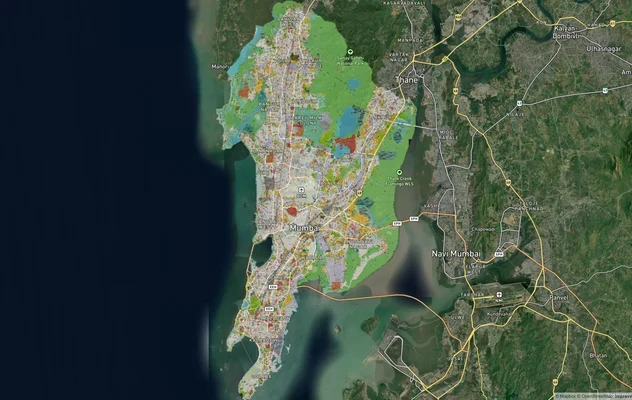
Mumbai Development Plan 2034: Zone Check and Land Use Guide
View Mumbai Masterplan as a live map overlay – check any plot's land use zone for free on 1acre.in. Mumbai masterplan 20...
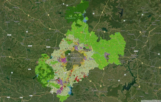
Nagpur Masterplan 2032: Zone Check and Land Use Guide
View Nagpur Masterplan as a live map overlay – check any plot's land use zone for free on 1acre.in. Nagpur Metropolitan ...
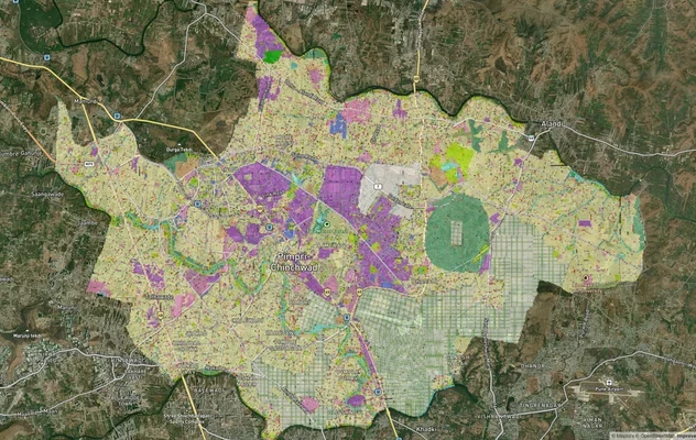
Pimpri Chinchwad PCMC Masterplan: Zone Check and Land Use Guide
View Pimpri Chinchwad Masterplan as a live map overlay – check any plot's land use zone for free on 1acre.in. Pimpri Chi...
More Layers in Maharashtra
Mumbai Development Plan 2034: Zone Check and Land Use Guide
View Mumbai Masterplan as a live map overlay – check any plot's land use zone for free on 1acre.in. Mumbai masterplan 20...
Nagpur Masterplan 2032: Zone Check and Land Use Guide
View Nagpur Masterplan as a live map overlay – check any plot's land use zone for free on 1acre.in. Nagpur Metropolitan ...
Pimpri Chinchwad PCMC Masterplan: Zone Check and Land Use Guide
View Pimpri Chinchwad Masterplan as a live map overlay – check any plot's land use zone for free on 1acre.in. Pimpri Chi...