
Vikhroli Koparkhairane Link Road


Vikhroli Koparkhairane Link Road Preview
Try the Vikhroli Koparkhairane Link Road on the map
Sign in once and explore the layer for a full day.
- No card details needed
- Find nearby verified lands for sale
Overview
Vikhroli Koparkhairane Link Road land acquisition covers MMRDA's proposed 7.5 to 10 km, six-lane bridge, also called the JVLR-Kopar Khairane-Ghansoli Bridge, connecting Vikhroli in Mumbai to Kopar Khairane in Navi Mumbai via a roughly 2 km span across Thane Creek. Vikhroli Koparkhairane Link Road is a live on 1acre. Approved in 2025 as the fourth bridge across Thane Creek after Vashi, Airoli, and Kalwa, the project is estimated to cost between Rs 550 crore and Rs 1,200 crore. This page covers the corridor's unusual land history, a decades-long Centre-State ownership dispute over the very ground it's built on, and where growth is concentrating nearby.
The Kanjurmarg Salt Pan Dispute: Decades of Unresolved Land Ownership
The most important thing to understand about this corridor is that it runs directly through Kanjurmarg, an area sitting at the centre of one of Mumbai's longest-running land ownership fights. Since the 1980s, the Central and Maharashtra state governments have disputed ownership of roughly 5,500 acres of salt pan land spanning the eastern suburbs, including Kanjurmarg, Bhandup, Nahur, and Mulund. This dispute became a live legal battle when the state allotted 102 acres of this same land to MMRDA for a separate Metro-3 car shed, prompting the Centre to challenge the transfer, and the Bombay High Court to stay construction while it heard the Centre's title claim.
The Kanjurmarg Salt Pan Dispute: Decades of Unresolved Land Ownership
Land Feature
What It Means
Buyer Action
Salt pan land ownership dispute
Centre and State have both claimed title since the 1980s
Confirm clear, undisputed title before any transaction near Kanjurmarg
Kanjurmarg landfill/dumping ground
Sits partly on land the Bombay High Court has declared "protected forest"
Verify whether a plot falls within the 119.91 hectares the court restored to forest status
CRZ classification
MMRDA's own 2010 study found 1,206 hectares of these salt pan lands fall under Coastal Regulation Zone
Only a fraction (204 hectares) was assessed as developable outside CRZ limits
Original bridge alignment change
MMRDA had to reroute away from the Kanjurmarg dumping ground because a garbage heap up to 35 metres tall made an elevated crossing infeasible there
Confirm the corridor's current, not original, alignment before assuming a specific plot benefits
Land Feature
What It Means
Buyer Action
Salt pan land ownership dispute
Centre and State have both claimed title since the 1980s
Confirm clear, undisputed title before any transaction near Kanjurmarg
Kanjurmarg landfill/dumping ground
Sits partly on land the Bombay High Court has declared "protected forest"
Verify whether a plot falls within the 119.91 hectares the court restored to forest status
CRZ classification
MMRDA's own 2010 study found 1,206 hectares of these salt pan lands fall under Coastal Regulation Zone
Only a fraction (204 hectares) was assessed as developable outside CRZ limits
Original bridge alignment change
MMRDA had to reroute away from the Kanjurmarg dumping ground because a garbage heap up to 35 metres tall made an elevated crossing infeasible there
Confirm the corridor's current, not original, alignment before assuming a specific plot benefits
The dumping ground itself has been separately litigated. An NGO's petition led the Bombay High Court to declare 119.91 hectares of the 141.77-hectare landfill a "protected forest," directly restricting what can be built there regardless of any transport project's own approvals. This is the same broader area the link road's original alignment had to route around, since an elevated structure could not be built over an active, rising garbage heap. Before transacting on any land near Kanjurmarg tied to this corridor's promised connectivity, verify title against both the Centre-State salt pan dispute and the forest-protection status separately, since either one can override a project's own environmental clearance.
What Growth Looks Like Near This Corridor
Once built, the link road would give Vikhroli and the surrounding eastern suburbs a direct route to Navi Mumbai and Pune-bound traffic, bypassing the currently used Vashi and Airoli-Mulund bridges.
What Growth Looks Like Near This Corridor
Location
Growth Driver
Known Risk
Vikhroli (JVLR terminus)
Direct new route to Navi Mumbai once bridge completes
Project has no fixed public completion timeline as of the latest reporting
Kannamwar Nagar, Vikhroli
Existing residential area adjacent to the Kanjurmarg landfill
Documented odour and pollution issues from the adjacent dumping ground
Kopar Khairane / Ghansoli
Bridge terminus, connects onward to Thane-Belapur Road
Benefits contingent on bridge completion; no confirmed construction start date
Thane Creek Flamingo Sanctuary zone
Ecologically sensitive area the alignment must clear environmentally
Requires Union Ministry of Environment, Forest and Climate Change clearance given creek-crossing alignment
Location
Growth Driver
Known Risk
Vikhroli (JVLR terminus)
Direct new route to Navi Mumbai once bridge completes
Project has no fixed public completion timeline as of the latest reporting
Kannamwar Nagar, Vikhroli
Existing residential area adjacent to the Kanjurmarg landfill
Documented odour and pollution issues from the adjacent dumping ground
Kopar Khairane / Ghansoli
Bridge terminus, connects onward to Thane-Belapur Road
Benefits contingent on bridge completion; no confirmed construction start date
Thane Creek Flamingo Sanctuary zone
Ecologically sensitive area the alignment must clear environmentally
Requires Union Ministry of Environment, Forest and Climate Change clearance given creek-crossing alignment
Historical delays on this exact project are well documented: the link road was first proposed with an alignment through the Kanjurmarg dumping ground, stalled for over a year awaiting municipal approval, and had to be redesigned once officials determined the garbage heap's height made that route unworkable. Given the unresolved decades-old land ownership dispute in the same area, plus a separate court-enforced forest designation on part of the landfill, this is a corridor where the promised connectivity benefit and the underlying land's legal status are genuinely two different questions. Confirm both independently before treating proximity to the planned bridge as a straightforward value driver.
Was this layer helpful?
Anything wrong, outdated, or missing we want to hear it.

Access Survey NumbersAccess Maharashtra
Survey Numbers
Boundaries and numbers come from published state cadastral records. See all map layers.
Looking to sell your land in Maharashtra?

Browse all verified lands & plots in Maharashtra
More Layers in Maharashtra
See all 61 layers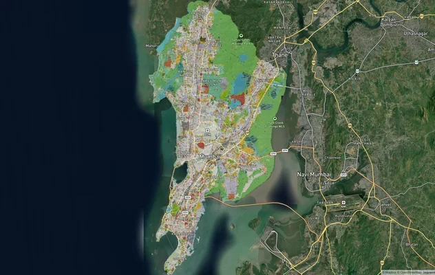
Mumbai Development Plan 2034: Zone Check and Land Use Guide
View Mumbai Masterplan as a live map overlay – check any plot's land use zone for free on 1acre.in. Mumbai masterplan 20...
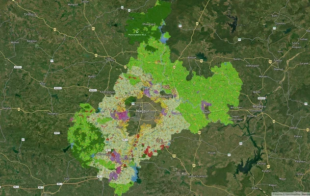
Nagpur Masterplan 2032: Zone Check and Land Use Guide
View Nagpur Masterplan as a live map overlay – check any plot's land use zone for free on 1acre.in. Nagpur Metropolitan ...
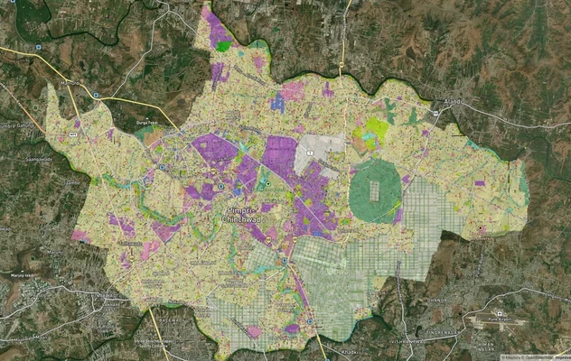
Pimpri Chinchwad PCMC Masterplan: Zone Check and Land Use Guide
View Pimpri Chinchwad Masterplan as a live map overlay – check any plot's land use zone for free on 1acre.in. Pimpri Chi...
More Layers in Maharashtra
Mumbai Development Plan 2034: Zone Check and Land Use Guide
View Mumbai Masterplan as a live map overlay – check any plot's land use zone for free on 1acre.in. Mumbai masterplan 20...
Nagpur Masterplan 2032: Zone Check and Land Use Guide
View Nagpur Masterplan as a live map overlay – check any plot's land use zone for free on 1acre.in. Nagpur Metropolitan ...
Pimpri Chinchwad PCMC Masterplan: Zone Check and Land Use Guide
View Pimpri Chinchwad Masterplan as a live map overlay – check any plot's land use zone for free on 1acre.in. Pimpri Chi...