
Dabhol Creek Bridge


Dabhol Creek Bridge Preview
Try the Dabhol Creek Bridge on the map
Sign in once and explore the layer for a full day.
- No card details needed
- Find nearby verified lands for sale
Overview
The Dabhol Creek Bridge Dapoli Guhagar is a 2.9 km two-lane estuary bridge across the Vashishti backwater, connecting Dabhol village in Dapoli taluka to Veldur in Guhagar taluka of Ratnagiri district.
MSRDC issued its Request for Proposal in March 2024 on EPC mode at an estimated ₹551.66 crore with a 1,095-day construction window. The bridge sits inside the Revas-Reddi Coastal Highway (SH Special No. 5 / MSH4).
This page covers what the bridge does to land value across Dapoli and Guhagar, why CRZ and tenancy rules block many "creek-view" listings, and the exact documents a buyer must verify.
CRZ Ratnagiri Coastal Setback and the Bombay Tenancy Act Section 63
Two rulebooks decide every plot check on this corridor. First, the entire Ratnagiri coast sits under the Coastal Regulation Zone Notification 2019, enforced by the Maharashtra Coastal Zone Management Authority (MCZMA).
Setbacks from the High Tide Line and a 50-metre mangrove buffer routinely make beach-front and creek-front parcels non-buildable. Second, and the one most out-of-town buyers walk into, Section 63 of the Bombay Tenancy and Agricultural Lands Act, 1948 bars non-agriculturists from purchasing agricultural land in Maharashtra without Collector permission.
The table below shows the document stack every buyer must verify near the Dabhol Creek Bridge Dapoli Guhagar alignment.
CRZ Ratnagiri Coastal Setback and the Bombay Tenancy Act Section 63
Document / Register
What It Confirms
Where to Verify
Common Trap
7/12 extract (Satbara utara)
Ownership, area, cultivation entry
Mahabhulekh Maharashtra
Old 7/12 without mutation update
Ferfar (mutation) chain
Post-sale ownership updates
Talathi office, Dapoli / Guhagar
Missing partition or inheritance entries
CRZ zone classification
I / II / III / IV coastal status
MCZMA + Ratnagiri DPO
Creek-front sold without CRZ status
Section 63 permission
Non-agriculturist eligibility
Sub-Divisional Officer
Sale to outsider without written sanction
N.A. (Non-Agricultural) order
Land converted for construction
Collector office
Horticultural sold as N.A. plot
MSRDC acquisition strip
Highway and bridge alignment
Talathi + MSRDC
Sold as farmland already notified
If the seller cannot produce a fresh 7/12 extract, ferfar chain, and the CRZ classification for the survey number, treat the deal as unsigned. Section 63 quietly voids many "creek-view" transactions to outstation buyers.
Even a registered sale deed to a non-agriculturist without Collector permission is unenforceable under the Bombay Tenancy Act, and no stamp duty payment fixes that gap.
Growth Corridors Along the Anjanwel Velneshwar Ladghar Corridor
The bridge links two of Ratnagiri's most active coastal tourism belts. On the Dapoli side, it opens Ladghar, Karde, and Murud-Dapoli beaches to Anjanwel-side traffic. On the Guhagar side, it feeds Velneshwar and Guhagar beach directly from Dabhol, cutting a long detour through Chiplun. Read the corridor as three distinct micro-markets, not one.
The table below sorts the notable localities along the alignment.
Growth Corridors Along the Anjanwel Velneshwar Ladghar Corridor
Corridor / Locality
Taluka
Growth Driver
Known Risk
Dabhol village
Dapoli
Bridge landing, port and LNG town
Industrial buffer, port jurisdiction land
Ladghar, Karde, Murud-Dapoli
Dapoli
Beach tourism, homestay demand
CRZ-I / II on beach frontage
Dapoli town
Dapoli
Hill-station tourism, education hub
Alphonso and cashew horticulture entries
Velneshwar
Guhagar
Shiva temple, beach tourism
Temple protection and CRZ overlap
Guhagar beach town
Guhagar
Coastal tourism, seafood
Mixed gaothan and CRZ-III land
Anjanwel (LNG terminal side)
Guhagar
RGPPL industrial belt
Restricted land use, security zone
The most misread pocket sits around Anjanwel and the LNG terminal. Buyers see industrial employment plus a new bridge and assume that adjacent farmland flips into construction plots. It does not. Much of the strip carries either an industrial buffer classification or an Alphonso mango horticultural entry on the 7/12, and both require separate orders before any conversion. Confirm before treating a Guhagar side plot as a bridge-adjacent opportunity.
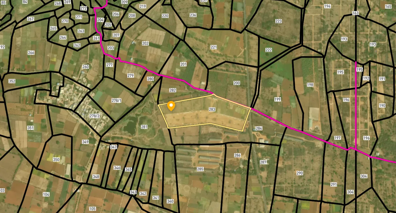
Access Survey NumbersAccess Maharashtra
Survey Numbers
Boundaries and numbers come from published state cadastral records. See all map layers.
Looking to sell your land in Maharashtra?

Browse all verified lands & plots in Maharashtra
More Layers in Maharashtra
See all 60 layers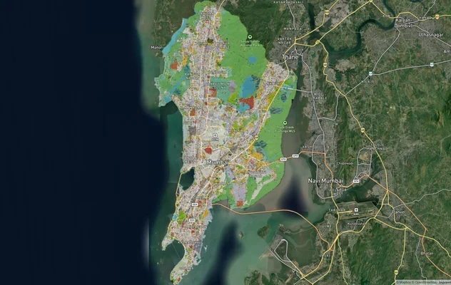
Mumbai Development Plan 2034: Zone Check and Land Use Guide
View Mumbai Masterplan as a live map overlay – check any plot's land use zone for free on 1acre.in. Mumbai masterplan 20...
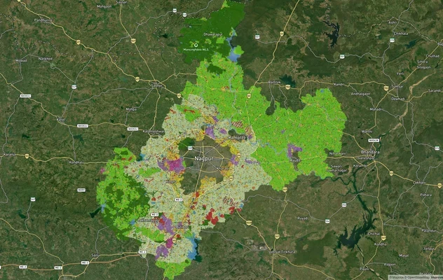
Nagpur Masterplan 2032: Zone Check and Land Use Guide
View Nagpur Masterplan as a live map overlay – check any plot's land use zone for free on 1acre.in. Nagpur Metropolitan ...
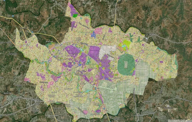
Pimpri Chinchwad PCMC Masterplan: Zone Check and Land Use Guide
View Pimpri Chinchwad Masterplan as a live map overlay – check any plot's land use zone for free on 1acre.in. Pimpri Chi...
More Layers in Maharashtra
Mumbai Development Plan 2034: Zone Check and Land Use Guide
View Mumbai Masterplan as a live map overlay – check any plot's land use zone for free on 1acre.in. Mumbai masterplan 20...
Nagpur Masterplan 2032: Zone Check and Land Use Guide
View Nagpur Masterplan as a live map overlay – check any plot's land use zone for free on 1acre.in. Nagpur Metropolitan ...
Pimpri Chinchwad PCMC Masterplan: Zone Check and Land Use Guide
View Pimpri Chinchwad Masterplan as a live map overlay – check any plot's land use zone for free on 1acre.in. Pimpri Chi...
Frequently Asked Questions
The location is officially notified. The 2.9 km two-lane bridge crosses the Dabhol Creek connecting Dabhol village in Dapoli taluka to Veldur in Guhagar taluka of Ratnagiri district, on the Revas-Reddi Coastal Highway MSH4 (SH Special No. 5).
The bridge is tendered at approximately ₹551.66 crore on EPC mode with a 1,095-day (three-year) construction period. MSRDC issued the RFP in March 2024 under Tender T-2763, with the project falling within the wider Mumbai-Goa Coastal Highway push.
The Maharashtra State Road Development Corporation (MSRDC), fully owned by the Government of Maharashtra, is the implementing authority. Construction runs under EPC mode. As of the latest MSRDC bulletin, Dabhol and Kalbadevi remained the two bridges yet to be awarded due to local alignment concerns.
It is the Maharashtra State Highway Special No. 5 running from Revas in Raigad to Reddi in Sindhudurg along the Arabian Sea coast through Raigad, Ratnagiri, and Sindhudurg. Eight to nine major creek bridges anchor the alignment, with the Dabhol crossing among them.
The Dabhol Creek Bridge is designed as a two-tier estuary bridge to handle the tidal width of the Vashishti backwater and maintain navigability for creek-going vessels. The design is one of the more complex on MSH4, which is part of why bidding took longer than the other creek crossings.
Not without permission. Under Section 63 of the Bombay Tenancy Act, non-agriculturists cannot purchase agricultural land in Maharashtra without Collector sanction. Any sale to an outstation buyer without written permission is void, regardless of stamp duty and registration.
No, not directly. The bridge lands on the Veldur side of the creek, not inside the Ratnagiri Gas and Power (RGPPL) LNG facility footprint at Anjanwel. Adjacent land near the terminal, however, sits under industrial buffer and port jurisdiction restrictions.
Free online. Visit bhulekh.mahabhumi.gov.in, select Konkan division, Ratnagiri district, then Dapoli or Guhagar taluka. Enter the survey or gat number to view the 7/12 extract with owner name, area, and land classification before any purchase decision.
Source
Official government land and infrastructure records
Official Website
mczma.gov.in
Coordinate Reference System
EPSG:4326 (WGS 84)
Geometry Type
LineString / MultiLineString
Data Format
Vector (GeoJSON) + Raster Tiles
Last Verified
2026
Status
Active
Was this layer helpful?
Anything wrong, outdated, or missing we want to hear it.