
Pune Sambhajinagar Highway
Overview
The Pune-Sambhajinagar Highway land records question involves a name change worth clearing up before anything else, since it trips up plenty of buyers on its own: Sambhajinagar is the renamed Aurangabad, so older reports and current ones describing this same 225-kilometre expressway may use either name for the eastern endpoint depending on when they were written. This six-lane, access-controlled greenfield corridor is being developed under Bharatmala Pariyojana, originally an NHAI project now handed over to the Maharashtra State Infrastructure Development Corporation for execution, and it runs through the Paithan and Ahmednagar regions before finally reaching Sambhajinagar itself. Land acquisition here has already had a genuinely bumpy history, and the project is now being built in three separate phases rather than as one continuous stretch, which is worth understanding before assuming the whole corridor moves at the same pace. Land near this corridor is checked through Mahabhulekh, Maharashtra's revenue records portal, which shows the state's core ownership document, the 7/12 extract, alongside several companion records that together tell a far more complete story than any single document manages on its own. This guide covers both what those records actually show and where the road itself genuinely stands today, phase by phase, rather than as one single headline figure.
Regulatory Red Flags Along the Pune-Sambhajinagar Corridor
Start with the project's own land acquisition history, because it tells a buyer something genuinely important about how reliably the phrase "confirmed alignment" translates into actual construction on this particular corridor. NHAI issued its formal land acquisition notification, known as notification 3(A), back in December 2022, covering land across 24 villages along the planned route. Despite that reasonably early start, the project ran into real land acquisition difficulties over the following years, and by early 2025 the process was being reported as facing a fresh roadblock, with officials indicating that acquisition would need to restart around January 2026, essentially a partial reset. Throughout these delays, NHAI has continued to state that the planned alignment itself remains unchanged, which is a meaningful reassurance for anyone already holding land inside the confirmed route, but it does not mean the acquisition process has moved smoothly or stayed anywhere close to schedule. A buyer looking at land near this corridor should treat "the alignment is fixed" and "the road is actually being built on time" as two entirely separate claims, since this project's own history shows the first can be true while the second lags well behind it for years at a stretch.
Ownership verification itself runs through a small family of documents that work together rather than any single all-purpose record that settles everything at once. The 7/12 extract, locally called the Satbara Utara, combines two older village forms into one document showing the current owner, the survey or Gat number, the land type, and cultivation details, and it is the document most people actually mean when they casually say they have "checked the land records." A separate 8A extract shows the same owner's full landholding across an entire village under one khata number, which matters a great deal when someone owns several adjoining plots and a seller only shows you one 7/12 in isolation, hiding the rest of the picture. For land already converted to non-agricultural use, the 7/12 extract itself carries an "NA" marking confirming that conversion has genuinely happened, and its absence is a direct signal that the land remains legally agricultural, regardless of whatever a seller might claim it can be used for going forward. Urban properties instead use a Property Card, tied to a CTS number rather than a rural survey number, so buyers near town centres along this corridor should specifically ask for the correct document type rather than assuming a rural-style 7/12 automatically applies everywhere along the route.
Ownership history changes through a process called Ferfar, Maharashtra's mutation system, which updates the 7/12 record after a sale, inheritance, or family partition is formally processed through the state's e-Hakk and Aaple Sarkar systems. A free view of any of these records on Mahabhulekh is genuinely useful as a first check, but it is explicitly not the version banks or courts actually require for anything legally binding. For anything carrying real legal weight, a Digital Satbara, the properly signed and certified version obtained for a small fee, is what genuinely matters, and it carries a scannable QR code confirming its authenticity in a way a plain printout never can. None of these Revenue Department records, though, show whether a mortgage or a prior sale already sits against the land. That information lives on an entirely separate system: IGR Maharashtra holds registered sale deeds and encumbrance history, while CERSAI is the specific portal to check for a bank-registered mortgage that might not yet show up anywhere else. A clean 7/12 and a hidden mortgage on IGR or CERSAI can, and sometimes do, exist on the very same plot at the very same time, which is exactly why checking only one of these systems leaves a real gap.
Regulatory Red Flags Along the Pune-Sambhajinagar Corridor
Land Record Term
What It Proves
Where to Check
Blocks Registration Without It?
7/12 extract (Satbara)
Current owner, survey number, land type, NA status
Mahabhulekh
Yes
8A extract
Full landholding under one khata number
Mahabhulekh
Yes, for a complete ownership picture
Property Card
Urban ownership tied to a CTS number
Mahabhulekh
Yes, for city-survey properties
Ferfar (mutation record)
History of ownership changes over time
Mahabhulekh / Aaple Sarkar
Not directly, but confirms current record is settled
Encumbrance / mortgage history
Registered sale deeds and bank mortgages
IGR Maharashtra / CERSAI
Yes, for a complete title check
NHAI acquisition notification (3A) status
Confirms whether a specific plot falls inside the formal corridor
District Collector / NHAI project office
Determines compensation, not ordinary registration
Land Record Term
What It Proves
Where to Check
Blocks Registration Without It?
7/12 extract (Satbara)
Current owner, survey number, land type, NA status
Mahabhulekh
Yes
8A extract
Full landholding under one khata number
Mahabhulekh
Yes, for a complete ownership picture
Property Card
Urban ownership tied to a CTS number
Mahabhulekh
Yes, for city-survey properties
Ferfar (mutation record)
History of ownership changes over time
Mahabhulekh / Aaple Sarkar
Not directly, but confirms current record is settled
Encumbrance / mortgage history
Registered sale deeds and bank mortgages
IGR Maharashtra / CERSAI
Yes, for a complete title check
NHAI acquisition notification (3A) status
Confirms whether a specific plot falls inside the formal corridor
District Collector / NHAI project office
Determines compensation, not ordinary registration
Given how long land acquisition has already dragged on for this specific project, and given how many separate documents a genuinely complete Maharashtra title check actually requires, the practical rule here is simple enough to remember: never treat a single 7/12 printout as a finished check on its own, and never assume a plot's rough proximity to the announced alignment means it already sits inside the formally notified corridor.
Growth Corridors Along the Pune-Sambhajinagar Route
MSIDC has laid out this expressway's construction as three separate phases rather than one continuous build, and knowing which specific phase is furthest along matters considerably more here than the project's overall headline length ever will. Phase 1, the Pune-Shirur elevated corridor, is by far the most advanced piece, with financial bids already opened and Welspun Enterprises emerging as the lowest bidder for that particular stretch. The remaining two phases, covering Shirur to Ahmednagar and then Ahmednagar onward to Sambhajinagar itself, sit considerably further behind, with funding allocated for one stretch while planning is still genuinely underway for the other. This staggered structure means land near Shirur today sits behind real, contracted progress, while land closer to the Sambhajinagar end is still resting on plans on a page rather than any awarded construction contract on the ground.
Running in parallel with this new greenfield expressway, the existing older road connecting the two cities is being separately renovated at an estimated cost of nine thousand crore rupees, with MSIDC taking over its management and the Maharashtra government moving to formally upgrade it to national highway status under the designation NH-753F. This is worth understanding clearly as a genuinely distinct project from the new expressway itself, even though both happen to share largely the same origin and destination cities and can easily get confused in casual conversation. A buyer should be careful not to conflate news about the older road's renovation with actual progress on the new greenfield corridor, since the two are being funded, managed, and built on entirely separate timelines by different authorities.
The expressway's broader significance ultimately comes from what it connects to at its western end: the Mumbai-Nagpur Expressway, officially the Hindu Hrudaysamrat Balasaheb Thackeray Maharashtra Samruddhi Mahamarg, a 701-kilometre corridor that became fully operational back in June 2025. Once the Pune-Sambhajinagar link is genuinely complete, travel time between the two cities is expected to fall from four to five hours today down to roughly two, largely because this new road would feed directly into that much longer, already-finished expressway network rather than relying on the older, far more congested route running through Ahmednagar town itself.
Growth Corridors Along the Pune-Sambhajinagar Route
Location
Growth Driver
Known Consideration
Pune-Shirur stretch
Most advanced phase, bids already awarded to a contractor
Confirm the exact elevated corridor alignment before assuming general proximity is enough
Shirur-Ahmednagar stretch
Budget allocated, construction not yet contracted
Progress here still depends on the same land acquisition process that has already faced delays
Ahmednagar-Sambhajinagar stretch
Still in planning stage
Least advanced of the three phases; treat as a longer-term prospect
Existing Pune-Sambhajinagar road (NH-753F upgrade)
Separate 9,000-crore renovation, distinct from the new greenfield expressway
Do not confuse this project's progress with the new expressway's own timeline
Location
Growth Driver
Known Consideration
Pune-Shirur stretch
Most advanced phase, bids already awarded to a contractor
Confirm the exact elevated corridor alignment before assuming general proximity is enough
Shirur-Ahmednagar stretch
Budget allocated, construction not yet contracted
Progress here still depends on the same land acquisition process that has already faced delays
Ahmednagar-Sambhajinagar stretch
Still in planning stage
Least advanced of the three phases; treat as a longer-term prospect
Existing Pune-Sambhajinagar road (NH-753F upgrade)
Separate 9,000-crore renovation, distinct from the new greenfield expressway
Do not confuse this project's progress with the new expressway's own timeline
The clearest way to read this corridor, in the end, is by phase rather than by headline. Land near the Pune-Shirur stretch sits behind a genuinely contracted, actively moving project, while land closer to Sambhajinagar still depends on acquisition and construction steps that this exact same corridor has already shown can slip by a year or more without much warning. Whatever phase a specific plot happens to sit in, the same rule from the regulatory section still applies just as strongly here: confirm the current 7/12, the mutation status, and any encumbrance directly, rather than treating a road's announced route alone as any kind of guarantee of future value.
Was this layer helpful?
Anything wrong, outdated, or missing we want to hear it.

Access Survey NumbersAccess Maharashtra
Survey Numbers
Boundaries and numbers come from published state cadastral records. See all map layers.
Looking to sell your land in Maharashtra?

Browse all verified lands & plots in Maharashtra
More Layers in Maharashtra
See all 60 layers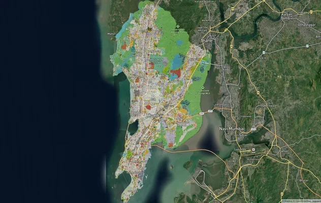
Mumbai Development Plan 2034: Zone Check and Land Use Guide
View Mumbai Masterplan as a live map overlay – check any plot's land use zone for free on 1acre.in. Mumbai masterplan 20...
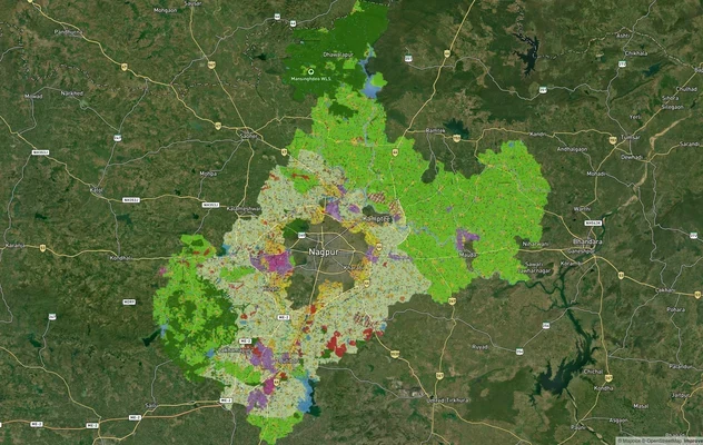
Nagpur Masterplan 2032: Zone Check and Land Use Guide
View Nagpur Masterplan as a live map overlay – check any plot's land use zone for free on 1acre.in. Nagpur Metropolitan ...
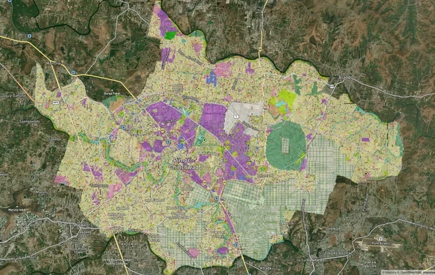
Pimpri Chinchwad PCMC Masterplan: Zone Check and Land Use Guide
View Pimpri Chinchwad Masterplan as a live map overlay – check any plot's land use zone for free on 1acre.in. Pimpri Chi...
More Layers in Maharashtra
Mumbai Development Plan 2034: Zone Check and Land Use Guide
View Mumbai Masterplan as a live map overlay – check any plot's land use zone for free on 1acre.in. Mumbai masterplan 20...
Nagpur Masterplan 2032: Zone Check and Land Use Guide
View Nagpur Masterplan as a live map overlay – check any plot's land use zone for free on 1acre.in. Nagpur Metropolitan ...
Pimpri Chinchwad PCMC Masterplan: Zone Check and Land Use Guide
View Pimpri Chinchwad Masterplan as a live map overlay – check any plot's land use zone for free on 1acre.in. Pimpri Chi...