
Ghodbunder- Gaimukh Road
Overview
The Ghodbunder-Gaimukh Road land records question sits on a stretch of road that quietly crosses a jurisdictional line most buyers never notice, and that line matters more than the road's traffic numbers do. Officially Maharashtra State Highway 42, this route runs entirely through Thane district, connecting the Eastern Express Highway junction at Kapurbawdi through central Thane out toward Gaimukh village, and finally on to the Mumbai-Ahmedabad national highway. A specific six-kilometre stretch between Hotel Fountain and Gaimukh is being widened from 30 metres to as much as 60 metres, adding up to eight or ten lanes depending on the section, under a project the state government approved in principle and handed to the Mumbai Metropolitan Region Development Authority to execute. The Transport Minister announced in late 2025 that the upgrade would be fully operational by January 2026, covering resurfacing, service-lane merging, and new water pipeline work along the corridor. Land here is checked through Property Cards on Mahabhulekh, the same portal used across urban Maharashtra, but this specific road splits between two separate municipal corporations partway along its length, and a widening project and an elevated metro line are both moving through the same physical space at the same time. This guide walks through what that combination actually means for anyone considering land nearby.
Regulatory Red Flags Around the Ghodbunder-Gaimukh Corridor
Start with a detail specific to this exact road that a simple ownership check will never reveal on its own: the stretch from Majiwada to Gaimukh village falls under Thane Municipal Corporation, while the stretch from Gaimukh village onward to the Mumbai-Ahmedabad highway sits under Mira-Bhayandar Municipal Corporation. This is not a small administrative footnote buried in a government gazette. Development Plan reservations, property tax rates, redevelopment permissions, and even which civic office a buyer needs to approach for a construction clarification all depend on which side of Gaimukh village a specific plot happens to sit. A Property Card confirms ownership regardless of which corporation governs the land, since that document simply records who holds the title and what the plot measures. It says nothing about which municipal Development Plan applies to that address, and two neighbouring plots only a few hundred metres apart along this same road can fall under genuinely different planning authorities, each with its own separate reservation map and its own separate approval process. Before treating any parcel near Gaimukh as straightforward, a buyer should confirm directly which corporation actually has jurisdiction over that specific address, rather than assuming the whole road answers to one office.
The road-widening project itself adds a second, more immediate layer of risk for property sitting directly alongside the highway. Widening a road from 30 metres to 60 metres does not happen by building outward into empty space alone. It typically requires consuming a further margin of frontage from properties on both sides of the existing carriageway, which is exactly the kind of Development Plan road-widening line that has already come up elsewhere in this series for other Mumbai-area corridors. Buildings and plots directly fronting Ghodbunder Road between Hotel Fountain and Gaimukh should be checked specifically for whether they sit inside this widening reservation. A property partly consumed by road expansion is typically compensated through Transferable Development Rights rather than simply being left untouched or ignored, and a seller showing a clean Property Card for such a plot is not, by itself, telling the whole story of what that land will actually look like once the widening finishes.
A further complication comes from the fact that roughly four kilometres of a planned 9.2-kilometre double-decker Metro Line 10, extending the existing Metro-4 and Metro-4A network, will run elevated directly above this same Hotel Fountain-Gaimukh stretch. Building an elevated metro structure alongside a widened road generally requires additional land for pillar foundations, construction staging areas, and station footprints wherever a stop is planned. This means a plot's exposure along this corridor is not limited to the road-widening project alone. It potentially extends to a second, entirely separate infrastructure project running through the very same physical space, on its own timeline, with its own land requirements that a buyer needs to check independently from the road-widening reservation.
Ownership verification itself still runs through the standard Maharashtra system used across this whole series: a Property Card tied to a CTS number for the urban stretches along this road, cross-checked against IGR Maharashtra for any registered mortgage, sale, or prior claim against the property, since a Property Card and an Encumbrance Certificate answer two entirely different questions and neither one substitutes for the other. What is genuinely distinct about this particular corridor is its toll history. Ghodbunder Road was previously operated as a tolled stretch under a concessionaire agreement with a subsidiary of a major national infrastructure company, before that arrangement changed as the road came under wider public works management ahead of the current widening effort. Older property listings or local word-of-mouth along this corridor may still reflect that earlier toll-road framing, so a buyer should confirm the road's current administrative status directly with the Public Works Department or the relevant municipal corporation, rather than relying on outdated general knowledge about how this stretch of road used to operate.
Regulatory Red Flags Around the Ghodbunder-Gaimukh Corridor
Land Record Term
What It Proves
Needs Separate Check?
Blocks Sale or Construction Without It?
Commonly Missed?
Property Card (CTS number)
Current owner and plot details
No
Yes
Buyers often assume it also confirms DP reservation status, which it does not
Municipal jurisdiction (TMC vs Mira-Bhayandar)
Which Development Plan and civic body governs the plot
Yes, confirm directly with the relevant corporation
Determines the permission process, not ownership itself
Genuinely easy to miss for plots near the Gaimukh boundary
DP road-widening reservation
Whether a plot's frontage falls inside the road expansion line
Yes, ward office confirmation
Yes, for full construction rights
A clean Property Card does not confirm freedom from this reservation
Metro Line 10 alignment / land-take
Whether a plot sits inside the elevated metro's footprint
Yes, MMRDA project office
Yes, for pillar or station-adjacent land
Frequently assumed to only affect the road project, not the metro running alongside it
Encumbrance Certificate (IGR Maharashtra)
Registered mortgages, sales, and prior claims
No
Yes
A Property Card alone does not reveal this history
Land Record Term
What It Proves
Needs Separate Check?
Blocks Sale or Construction Without It?
Commonly Missed?
Property Card (CTS number)
Current owner and plot details
No
Yes
Buyers often assume it also confirms DP reservation status, which it does not
Municipal jurisdiction (TMC vs Mira-Bhayandar)
Which Development Plan and civic body governs the plot
Yes, confirm directly with the relevant corporation
Determines the permission process, not ownership itself
Genuinely easy to miss for plots near the Gaimukh boundary
DP road-widening reservation
Whether a plot's frontage falls inside the road expansion line
Yes, ward office confirmation
Yes, for full construction rights
A clean Property Card does not confirm freedom from this reservation
Metro Line 10 alignment / land-take
Whether a plot sits inside the elevated metro's footprint
Yes, MMRDA project office
Yes, for pillar or station-adjacent land
Frequently assumed to only affect the road project, not the metro running alongside it
Encumbrance Certificate (IGR Maharashtra)
Registered mortgages, sales, and prior claims
No
Yes
A Property Card alone does not reveal this history
Given that this single stretch carries a road-widening project, an elevated metro alignment, and a genuine jurisdictional split all layered onto the same six kilometres, the safest approach for any buyer is to confirm all three separately for a specific address, rather than assuming a clean Property Card by itself settles what the land can eventually be used for or how much of it will remain after construction finishes.
Growth Corridors Around the Ghodbunder-Gaimukh Route
Ghodbunder Road's growth story connects to a genuinely larger network of projects converging on this exact corridor, and understanding how they fit together matters more here than treating any single announcement as the whole picture. The Thane Metro, officially known as the Thane Integral Ring Metro, is a 29-kilometre line currently under construction with a target opening around 2029, and several of its planned 22 stations, including Kasarvadavali, Vijay Garden, Dongripada, and Kapurbawdi, sit directly along Ghodbunder Road itself rather than on some separate alignment elsewhere in the city. Layered on top of this ring metro is the separate Metro Line 10 extension mentioned earlier, running as a double-decker structure directly above the Hotel Fountain-Gaimukh stretch specifically. Together, these give this one corridor two distinct rail projects feeding into the same physical road, on top of the widening project itself, which is a genuinely unusual concentration of overlapping infrastructure work for a single six-kilometre stretch.
A further connected project worth understanding is the Thane-Borivali Twin Tunnel, an 11.84-kilometre twin-tube road tunnel linking Ghodbunder Road in Thane directly to the Western Express Highway in Borivali, passing for a substantial stretch beneath Sanjay Gandhi National Park. This is notable as the first tunnel constructed beneath a protected area anywhere in India, built using two dedicated tunnel boring machines rather than open excavation. It gives Ghodbunder Road a second major connectivity boost beyond the metro projects and the widening itself, linking Thane directly to Mumbai's western suburbs without needing to travel via the more congested Eastern Express Highway route through the city's eastern side. This tunnel is a separate undertaking from the Goregaon-Mulund Link Road covered elsewhere in this series, though both share the same general engineering approach of boring beneath the same national park from different directions and for different purposes.
Beyond the infrastructure itself, Ghodbunder Road also carries a layer of heritage worth knowing about for anyone buying land along its length. The route passes near several historical sites, including Ghodbunder Fort, Naglakot, Gaimukh Gadi, and Firangkot, remnants of the area's older colonial and pre-colonial history along the Thane creek. Heritage-adjacent land in Maharashtra can carry its own separate preservation considerations that sit outside the ordinary Property Card and Development Plan checks already described, so a plot's proximity to any of these named sites is worth flagging specifically with the local heritage conservation committee rather than assuming ordinary residential rules apply without exception.
Growth Corridors Around the Ghodbunder-Gaimukh Route
Location
Growth Driver
Known Consideration
Hotel Fountain to Gaimukh village
Active road widening plus overhead Metro Line 10 construction
Confirm both DP road-widening status and metro land-take separately
Kasarvadavali, Vijay Garden, Kapurbawdi
Planned Thane Metro stations directly on this corridor
Station-adjacent land typically sees earlier redevelopment interest
Gaimukh village boundary
Jurisdictional split between Thane and Mira-Bhayandar Municipal Corporations
Confirm which civic body actually governs a specific plot before assuming DP rules
Ghodbunder Road-Western Express Highway link
Thane-Borivali Twin Tunnel connecting to Mumbai's western suburbs
Separate project from the road widening itself, but reinforces the corridor's overall connectivity
Location
Growth Driver
Known Consideration
Hotel Fountain to Gaimukh village
Active road widening plus overhead Metro Line 10 construction
Confirm both DP road-widening status and metro land-take separately
Kasarvadavali, Vijay Garden, Kapurbawdi
Planned Thane Metro stations directly on this corridor
Station-adjacent land typically sees earlier redevelopment interest
Gaimukh village boundary
Jurisdictional split between Thane and Mira-Bhayandar Municipal Corporations
Confirm which civic body actually governs a specific plot before assuming DP rules
Ghodbunder Road-Western Express Highway link
Thane-Borivali Twin Tunnel connecting to Mumbai's western suburbs
Separate project from the road widening itself, but reinforces the corridor's overall connectivity
The clearest way to read this corridor is as three overlapping projects layered on top of each other, rather than as one simple road-widening story that a buyer can check off with a single visit to the ward office. There is the physical widening between Hotel Fountain and Gaimukh, there is the Thane Metro and its separate Line 10 extension running through the same stretch, and there is the Thane-Borivali tunnel adding a fourth connectivity layer nearby that reshapes the corridor's importance well beyond what the road-widening project alone would suggest. Each of these carries its own distinct land-use implications, its own separate timeline, and its own separate office to confirm progress with. A buyer weighing a specific plot along Ghodbunder Road should check all three against that exact address, rather than assuming that a single infrastructure headline, however prominent, covers everything relevant to the land's future value, its buildable area, and its eventual boundary once every project along this corridor has actually finished construction.
Was this layer helpful?
Anything wrong, outdated, or missing we want to hear it.

Access Survey NumbersAccess Maharashtra
Survey Numbers
Boundaries and numbers come from published state cadastral records. See all map layers.
Looking to sell your land in Maharashtra?

Browse all verified lands & plots in Maharashtra
More Layers in Maharashtra
See all 60 layers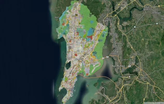
Mumbai Development Plan 2034: Zone Check and Land Use Guide
View Mumbai Masterplan as a live map overlay – check any plot's land use zone for free on 1acre.in. Mumbai masterplan 20...
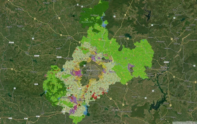
Nagpur Masterplan 2032: Zone Check and Land Use Guide
View Nagpur Masterplan as a live map overlay – check any plot's land use zone for free on 1acre.in. Nagpur Metropolitan ...
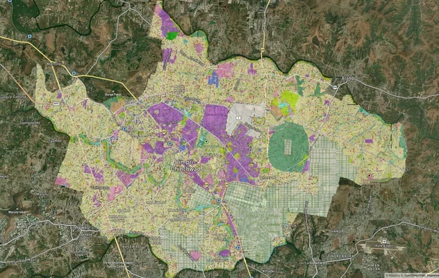
Pimpri Chinchwad PCMC Masterplan: Zone Check and Land Use Guide
View Pimpri Chinchwad Masterplan as a live map overlay – check any plot's land use zone for free on 1acre.in. Pimpri Chi...
More Layers in Maharashtra
Mumbai Development Plan 2034: Zone Check and Land Use Guide
View Mumbai Masterplan as a live map overlay – check any plot's land use zone for free on 1acre.in. Mumbai masterplan 20...
Nagpur Masterplan 2032: Zone Check and Land Use Guide
View Nagpur Masterplan as a live map overlay – check any plot's land use zone for free on 1acre.in. Nagpur Metropolitan ...
Pimpri Chinchwad PCMC Masterplan: Zone Check and Land Use Guide
View Pimpri Chinchwad Masterplan as a live map overlay – check any plot's land use zone for free on 1acre.in. Pimpri Chi...