
Marve-Manori Bridge


Marve Manori Bridge Preview
Try the Marve-Manori Bridge on the map
Sign in once and explore the layer for a full day.
- No card details needed
- Find nearby verified lands for sale
Overview
Marve-Manori Bridge land sits around a 1.5 km four-lane cable-stayed bridge that the BMC will build across Manori Creek, linking Marve in Malad West to Manori, Gorai and Uttan. Cleared by the MCZMA in December 2024, it cuts the current 29 km detour via Mira-Bhayander from two hours to minutes. But almost every parcel here is governed by CRZ rules and DCPR 2034, not a masterplan boom.This page covers the coastal traps, the villages that hold value, and what to verify before you pay a rupee.
Marve-Manori Bridge Land: The CRZ, NDZ and Gaothan Trap
A new bridge does not rezone the land it touches, and near Marve and Manori that land is some of the most restricted in Mumbai. Under DCPR 2034 these villages are logged as CRZ-affected, carrying a base FSI of just 1.0 and large No Development Zone patches, with gaothan proper treated separately. The bridge shortens the drive. It does not lift a single coastal restriction.
This is the checklist that separates a clean Marve-Manori Bridge land purchase from an unbuildable coastal plot.
Marve-Manori Bridge Land: The CRZ, NDZ and Gaothan Trap
Check
What it proves
Walk away if
CRZ status against the CZMP map
The plot's CRZ category and its buildable line
Land within 500 m of the high tide line or 100 m of the creek with no clearance
DCPR 2034 zone (residential vs NDZ vs gaothan)
Whether the land is developable at all
Parcel marked No Development Zone
Gaothan vs koliwada title
Whether the land can be legally transferred or redeveloped
An undivided gaothan holding is sold as an individual plot
7/12 extract and title chain
Clean ownership, not defence, forest or salt-pan land
Seller cannot produce a clear 7/12
Mangrove buffer
The plot sits outside the protected mangrove belt
Land touches mangroves or a Bombay High Court protected zone
Check
What it proves
Walk away if
CRZ status against the CZMP map
The plot's CRZ category and its buildable line
Land within 500 m of the high tide line or 100 m of the creek with no clearance
DCPR 2034 zone (residential vs NDZ vs gaothan)
Whether the land is developable at all
Parcel marked No Development Zone
Gaothan vs koliwada title
Whether the land can be legally transferred or redeveloped
An undivided gaothan holding is sold as an individual plot
7/12 extract and title chain
Clean ownership, not defence, forest or salt-pan land
Seller cannot produce a clear 7/12
Mangrove buffer
The plot sits outside the protected mangrove belt
Land touches mangroves or a Bombay High Court protected zone
Treat any "sea-view" or "beach-touch" pitch as a warning, not a feature. Land within 500 metres of the high tide line, or 100 metres of the creek, falls inside CRZ, where construction is heavily curbed and violations draw demolition notices rather than regularisation. Marve carries an extra layer that no listing mentions: the INS Hamla naval establishment restricts movement and building in its vicinity. Most parcels across Manori, Kulvem and Gorai are gaothan land tied to Koli and East Indian families, frequently held jointly, so a plot sold to you as a clean individual holding may not be legally divisible or transferable at all. And here is what the brokers skip: the bridge's own alignment threatens to demolish gaothan houses in these very villages, which is exactly why local fishermen stalled the project for more than a decade. A bridge on the map is not a title in your name.
Marve to Manori and Gorai: Where the Bridge Adds Value
The bridge changes travel time, not zoning, so value clusters at the two landfall points and stays speculative deep inside the villages. Marve and Manori anchor the ends, while Gorai and Uttan ride on tourism and ferry access rather than clean development rights.
This is how the corridor's main nodes compare for a land buyer.
Marve to Manori and Gorai: Where the Bridge Adds Value
Node
Growth driver
Known risk
Marve, Malad West end
Bridge landfall plus existing Malad-Marve road and city access
INS Hamla naval zone, narrow single-lane approach, CRZ
Manori
The 29 km detour collapses to minutes, weekend-home and beach demand
Gaothan title, CRZ and NDZ, displacement risk near the alignment
Gorai
Global Vipassana Pagoda, beach tourism, Essel World footfall
Creek and ferry access, largely village and gaothan land, CRZ
Uttan and Dharavi Beth
Cheaper fishing-village land on the far side
Livelihood protests, tight CRZ, weak civic amenities
Node
Growth driver
Known risk
Marve, Malad West end
Bridge landfall plus existing Malad-Marve road and city access
INS Hamla naval zone, narrow single-lane approach, CRZ
Manori
The 29 km detour collapses to minutes, weekend-home and beach demand
Gaothan title, CRZ and NDZ, displacement risk near the alignment
Gorai
Global Vipassana Pagoda, beach tourism, Essel World footfall
Creek and ferry access, largely village and gaothan land, CRZ
Uttan and Dharavi Beth
Cheaper fishing-village land on the far side
Livelihood protests, tight CRZ, weak civic amenities
Manori is where dreamers overpay. The picture of a beach house minutes from Malad sells fast, then the CRZ line and the gaothan title quietly make that plot unbuildable or untransferable. Marve is the more rational value point because it is the city-side landfall with real road access, yet the naval restriction and coastal rules still cap what you can do. Gorai reads as a tourism play, but most of its land is village-held and creek-bound, so ferry-era ownership problems do not vanish just because a bridge is coming. The honest read is simple. This bridge improves access to land whose development rights barely move, so buy for lifestyle and patience, not for a quick zoning windfall. If a seller cannot show the CRZ category and a clean 7/12 for the exact survey number, that plot is a postcard, not an asset.

Access Survey NumbersAccess Maharashtra
Survey Numbers
Boundaries and numbers come from published state cadastral records. See all map layers.
Looking to sell your land in Maharashtra?

Browse all verified lands & plots in Maharashtra
More Layers in Maharashtra
See all 60 layers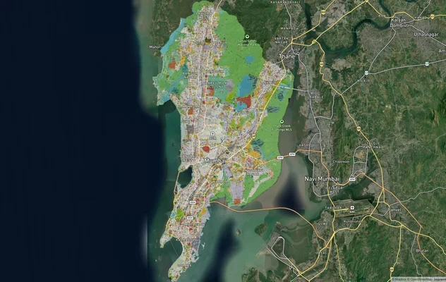
Mumbai Development Plan 2034: Zone Check and Land Use Guide
View Mumbai Masterplan as a live map overlay – check any plot's land use zone for free on 1acre.in. Mumbai masterplan 20...
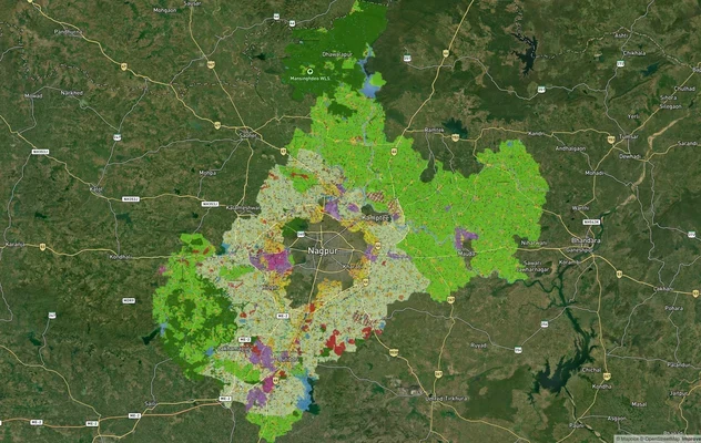
Nagpur Masterplan 2032: Zone Check and Land Use Guide
View Nagpur Masterplan as a live map overlay – check any plot's land use zone for free on 1acre.in. Nagpur Metropolitan ...
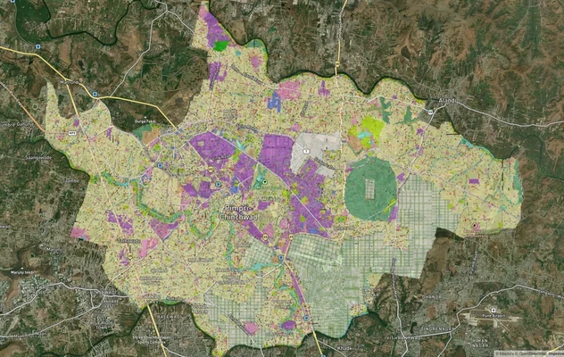
Pimpri Chinchwad PCMC Masterplan: Zone Check and Land Use Guide
View Pimpri Chinchwad Masterplan as a live map overlay – check any plot's land use zone for free on 1acre.in. Pimpri Chi...
More Layers in Maharashtra
Mumbai Development Plan 2034: Zone Check and Land Use Guide
View Mumbai Masterplan as a live map overlay – check any plot's land use zone for free on 1acre.in. Mumbai masterplan 20...
Nagpur Masterplan 2032: Zone Check and Land Use Guide
View Nagpur Masterplan as a live map overlay – check any plot's land use zone for free on 1acre.in. Nagpur Metropolitan ...
Pimpri Chinchwad PCMC Masterplan: Zone Check and Land Use Guide
View Pimpri Chinchwad Masterplan as a live map overlay – check any plot's land use zone for free on 1acre.in. Pimpri Chi...
Frequently Asked Questions
Only with eyes open. The bridge cuts travel time, but CRZ, NDZ and gaothan rules cap development. Buy near clean-title landfall parcels at Marve for lifestyle value, not for a fast zoning-driven price jump.
Yes, it is approved. The MCZMA cleared the 1.5 km four-lane cable-stayed bridge in December 2024, to be built by the BMC. Work depends on further mangrove and High Court conditions being met first.
Often not freely. Much of the land is CRZ-affected under DCPR 2034 with a low base FSI, and No Development Zone patches allow almost nothing. Always confirm the CRZ category before assuming buildability.
Largely yes. DCPR 2034 lists Gorai, Manori and Erangal as CRZ-affected areas, and several stretches fall in No Development Zone. Check the survey number against the coastal zone management plan map before buying.
Cautiously. Gaothan holdings are usually jointly owned by Koli and East Indian families and fall under CRZ norms for redevelopment. A single "plot" may be an undivided share, so verify the full title chain and consents.
No firm completion date is public. The project cleared MCZMA approval in December 2024 after sitting on the drawing board since 2009, and construction still hinges on mangrove and High Court clearances.
Local fishermen stalled the project for more than a decade, because the bridge's own alignment threatens to demolish gaothan houses in Manori and Gorai. The MCZMA cleared it only in December 2024.
Yes, in two ways. The alignment threatens gaothan houses in these villages, which is why the project was contested for years. It also changes nothing about their land rules: under DCPR 2034 Manori and Gorai stay logged as CRZ-affected, with a base FSI of 1.0 and large No Development Zone patches.
Source
Official government land and infrastructure records
Coordinate Reference System
EPSG:4326 (WGS 84)
Geometry Type
LineString / MultiLineString
Data Format
Vector (GeoJSON) + Raster Tiles
Last Verified
2026
Status
Active
Was this layer helpful?
Anything wrong, outdated, or missing we want to hear it.