
Solapur Ring Road


Solapur Ring Road Preview
Try the Solapur Ring Road on the map
Sign in once and explore the layer for a full day.
- No card details needed
- Find nearby verified lands for sale
Overview
A Solapur Ring Road land purchase depends on knowing which parcels sit along the 45 km SH-205 corridor that loops around Solapur city. The Hybrid Annuity improvement project was awarded to Ozoneland MEP Solapur Ring Road in May 2022 by the Maharashtra government, completed ahead of schedule in December 2023, at a total project cost of Rs 213.82 crore.
The corridor connects Kegaon, Degaon, Belati, Kavathe, Soregaon, Kumbhari and Doddi to Solapur city across North Solapur and South Solapur talukas. This page maps the alignment, adjacent land use rules and buyer checkpoints.
Regulatory Red Flags Before Any Solapur Ring Road Land Purchase
The Solapur Ring Road is an SH-205 improvement, not a greenfield acquisition. Existing right of way along the highway ranges from 10 to 18 metres depending on the section. That single fact matters: land adjacent to the corridor was not swept into new NHAI acquisition, so private plots along the alignment remained transactable through the concession period. But adjacent value shifted.
The corridor loops through North Solapur and South Solapur talukas. Chainages run 0/00 to 28/200, 29/800 to 44/600, 48/400 to 54/150 and 62/00 to 66/550 in Tal-North Solapur. Every parcel touching those chainages sits inside a defined revenue setback, and Maharashtra PWD frontage rules apply. Building lines, culvert crossings and access permits all flow from that setback rather than from a national highway rulebook.
The table below shows what a Solapur Ring Road land buyer must verify before any advance payment.
Regulatory Red Flags Before Any Solapur Ring Road Land Purchase
Check
What to Confirm
Failure Signal
Chainage Match
The satbara's gat number sits inside a defined SH-205 chainage segment
Seller quoting "ring road frontage" without a chainage reference
7/12 Extract (Satbara)
Latest owner name, gat number, area and mutation entries
Owner name different from sale deed or Aadhaar
Setback / Building Line
Maharashtra PWD prescribed frontage setback for SH-205
Existing construction sitting inside the setback
Access Permit
Sanction for any driveway or culvert crossing
Driveway opening on the ring road without a permit
Zoning
Whether the parcel is Municipal Corporation, gram panchayat, or SH corridor zone
Agricultural land marketed as ready-to-build
Check
What to Confirm
Failure Signal
Chainage Match
The satbara's gat number sits inside a defined SH-205 chainage segment
Seller quoting "ring road frontage" without a chainage reference
7/12 Extract (Satbara)
Latest owner name, gat number, area and mutation entries
Owner name different from sale deed or Aadhaar
Setback / Building Line
Maharashtra PWD prescribed frontage setback for SH-205
Existing construction sitting inside the setback
Access Permit
Sanction for any driveway or culvert crossing
Driveway opening on the ring road without a permit
Zoning
Whether the parcel is Municipal Corporation, gram panchayat, or SH corridor zone
Agricultural land marketed as ready-to-build
The trap here is not acquisition. The corridor is already built. The trap is misrepresented frontage. Sellers along Kegaon and Kumbhari routinely quote "ring road adjacent" pricing for parcels that sit 500 metres or more behind a service lane. Ask for the exact chainage and the 7/12 gat number, then match against the concession agreement schedules on the Maharashtra PWD website. Kumbhari lies on the crossroads of NH-150E and NH-465, and parcels there fall under multiple frontage rules at once.
Setback confusion is real. Maharashtra revenue vocabulary matters: gat number is the aggregated survey number, satbara is the 7/12 extract, ferfar is the mutation register. Every field must reconcile with the sale deed and the chainage claim before a rupee moves. Every gat number on the alignment already sits on a completed cadastral record. That makes verification faster than for corridors still in acquisition, but the trap moves to zoning fraud instead. Ask the Tahsildar's office in North Solapur or South Solapur for a Reservation Certificate covering the specific gat number.
Growth Corridors from Kegaon Through Kumbhari, Belati and the Solapur Outer Belt
Solapur Ring Road value tracks three things: the specific taluka the parcel sits in (North or South Solapur), its distance to a major national highway junction, and its zoning under Solapur Municipal Corporation limits. Kegaon sits on NH-65, the Pune-Hyderabad corridor. Kumbhari sits on NH-150E and NH-465. Belati and Soregaon anchor the northern belt.
The city is also positioned on the Solapur-Kurnool-Chennai Economic Corridor (NH-150C) and the Surat-Chennai Expressway alignment. Those trunk corridors intersect the ring road indirectly through NH-65 and NH-52 junctions, and through MSH-3 towards Latur and Nagpur. For a buyer, junction-adjacent gat numbers on the ring road carry a different value curve than mid-segment plots.
The table below shows the micro-markets along the ring road and their present buyer risk profile.
Growth Corridors from Kegaon Through Kumbhari, Belati and the Solapur Outer Belt
Micro-Market / Corridor
What Drives Value
Buyer Risk
Kegaon (NH-65 junction)
Pune-Hyderabad trunk, industrial anchor
Speculative pricing beyond service lane
Degaon (northern belt)
Barshi-Solapur SH-151 access
Old chainage confusion, gat mismatch
Belati and Soregaon
Textile industry proximity
Zoning gaps between MC and gram panchayat
Kavathe (western belt)
Ring road plus railway
Frontage setback violations
Kumbhari and Doddi (southern belt)
NH-150E and NH-465 crossroads
Overlapping frontage rules, height limits
Micro-Market / Corridor
What Drives Value
Buyer Risk
Kegaon (NH-65 junction)
Pune-Hyderabad trunk, industrial anchor
Speculative pricing beyond service lane
Degaon (northern belt)
Barshi-Solapur SH-151 access
Old chainage confusion, gat mismatch
Belati and Soregaon
Textile industry proximity
Zoning gaps between MC and gram panchayat
Kavathe (western belt)
Ring road plus railway
Frontage setback violations
Kumbhari and Doddi (southern belt)
NH-150E and NH-465 crossroads
Overlapping frontage rules, height limits
The most misread market is Kumbhari and Doddi in South Solapur taluka. Kumbhari sits at 480 metres elevation on the crossroads of NH-150E and NH-465, and the village gram panchayat area covers 5,740 hectares. Some plots sold as "Solapur city outskirts" are actually gram panchayat land with agricultural gat classification.
Building permission comes from the Panchayat, not the Municipal Corporation, and the two run different frontage rules. On the Kegaon side, NH-65 frontage pricing has pulled adjacent ring road plots up sharply; check whether the parcel is inside Solapur Municipal Corporation limits before comparing prices with in-city rates. For any commercial plan on ring road frontage, pull the Development Plan (DP) from Solapur Municipal Corporation for MC-limit parcels, or the Sanction Plan from the Gram Panchayat for village parcels. The DP and Sanction tell you what a plot can carry: shops, godowns, industrial units or residential. A Solapur Ring Road land purchase without a chainage cross-check and a clear zoning certificate is guesswork.
Was this layer helpful?
Anything wrong, outdated, or missing we want to hear it.

Access Survey NumbersAccess Maharashtra
Survey Numbers
Boundaries and numbers come from published state cadastral records. See all map layers.
Looking to sell your land in Maharashtra?

Browse all verified lands & plots in Maharashtra
More Layers in Maharashtra
See all 60 layers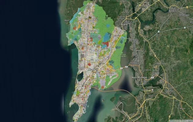
Mumbai Development Plan 2034: Zone Check and Land Use Guide
View Mumbai Masterplan as a live map overlay – check any plot's land use zone for free on 1acre.in. Mumbai masterplan 20...
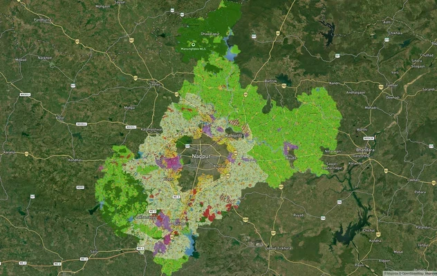
Nagpur Masterplan 2032: Zone Check and Land Use Guide
View Nagpur Masterplan as a live map overlay – check any plot's land use zone for free on 1acre.in. Nagpur Metropolitan ...
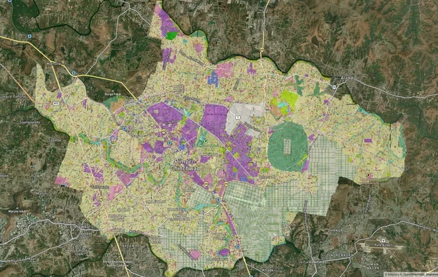
Pimpri Chinchwad PCMC Masterplan: Zone Check and Land Use Guide
View Pimpri Chinchwad Masterplan as a live map overlay – check any plot's land use zone for free on 1acre.in. Pimpri Chi...
More Layers in Maharashtra
Mumbai Development Plan 2034: Zone Check and Land Use Guide
View Mumbai Masterplan as a live map overlay – check any plot's land use zone for free on 1acre.in. Mumbai masterplan 20...
Nagpur Masterplan 2032: Zone Check and Land Use Guide
View Nagpur Masterplan as a live map overlay – check any plot's land use zone for free on 1acre.in. Nagpur Metropolitan ...
Pimpri Chinchwad PCMC Masterplan: Zone Check and Land Use Guide
View Pimpri Chinchwad Masterplan as a live map overlay – check any plot's land use zone for free on 1acre.in. Pimpri Chi...