
Dharivali-Marve Road Bridge


Dharivali Marve Road Bridge Preview
Try the Dharivali-Marve Road Bridge on the map
Sign in once and explore the layer for a full day.
- No card details needed
- Find nearby verified lands for sale
Overview
The Dharivali Marve Road Bridge Mumbai is a BMC project in P North Ward of Malad West, part of the civic body's six-bridge plan for the Andheri-Malad western suburbs. The bridge sits on Marve Road at Dharivali village and received its Central Coastal Regulation Zone (CRZ) clearance in February 2024, alongside the Versova-Madh cable-stayed bridge.
Physical work still requires Bombay High Court permission for mangrove cutting and forest department clearance. This page covers what the bridge changes for Marve Road land, why mangrove and CRZ rules dominate every plot check, and the exact documents buyers must verify.
MCZMA CRZ Clearance Malad and the Bombay High Court Mangrove Order
Two rulebooks govern every transaction along this corridor. First, the Coastal Regulation Zone Notification 2019 and its Maharashtra-specific enforcement through the Maharashtra Coastal Zone Management Authority (MCZMA) block construction inside CRZ-I and impose setbacks on CRZ-II.
Second, the Bombay High Court order in Bombay Environmental Action Group vs State of Maharashtra fixes a 50-metre buffer around mangroves and mandates written HC permission before any mangrove tree is cut.
The EIA for all six BMC bridges records that 2,000 mangrove trees across 6.35 hectares are impacted, and the Dharivali bridge is on that list.
The table below shows the document stack every buyer must verify on any Marve Road parcel near the alignment.
MCZMA CRZ Clearance Malad and the Bombay High Court Mangrove Order
Document / Register
What It Confirms
Where to Verify
Common Trap
Property Register Card (PR Card)
Title and CTS number
City Survey Office, Malad
Old PR without current mutation
7/12 extract (for village land)
Rural revenue record
Mahabhulekh Maharashtra
Dharivali gaothan boundary mismatch
DCPR 2034 zone entry
Land-use zone (R, NDZ, CRZ)
MCGM online DP
NDZ or mangrove marked as residential
CRZ clearance (MCZMA)
Coastal construction rights
MCZMA + MoEF&CC
Beach-front listed without CRZ status
Mangrove buffer notification
50-metre no-development strip
Forest Dept + HC order
Sold as coastal residential
MahaRERA registration
Layout compliance for eight+ units
maharera.mahaonline.gov.in
Unregistered layout above threshold
If the seller cannot produce a fresh PR Card, the DCPR 2034 zone certificate, and written confirmation the plot sits outside the 50-metre mangrove buffer, treat the deal as unsigned. No colonizer brochure showing "bridge view" is a substitute for a certified zone map from the MCGM ward office.
Growth Corridors from Marve Road to the Versova Madh Bridge
Dharivali village sits along Marve Road in Malad West, one of six locations where BMC is building bridges to reshape western suburb connectivity. Read the corridor by walking the six bridges in order: they collectively cut travel times between Andheri, Malad, and the Marve-Manori-Gorai belt, and they redraw which pockets carry investable land versus speculative land.
The table below sorts the notable localities along the Dharivali village Marve Road Malad West corridor.
Growth Corridors from Marve Road to the Versova Madh Bridge
Locality
Ward / Node
Role in the Bridge Network
Known Risk
Dharivali village
P North (Marve Road)
Bridge site, connector to Marve stretch
Gaothan boundary and CRZ overlay
Marve, Aksa
P North
Beach-facing Malad end
CRZ-I on beach setback
Madh Island
P North
Versova-Madh cable-stayed link
Ferry-only current access, CRZ-III
Versova (Andheri West)
K West
South end of Madh-Versova bridge
Fishing community and CRZ III
Manori, Gorai
R Central
Marve-Manori link target
29 km detour today, mangrove buffer
Evershine Nagar (Malad)
P South
Ramchandra Nullah bridge
Nullah setback and DCPR restrictions
The most misread locality is Dharivali village itself. Buyers see a BMC bridge notification and assume every adjacent plot becomes buildable at higher density. It does not. Dharivali sits within a gaothan pocket with older land records, and much of the strip flanking Marve Road falls inside CRZ-II or the No Development Zone under DCPR 2034. Confirm the exact zone and CRZ category before treating any Marve Road plot as a bridge-adjacent opportunity.
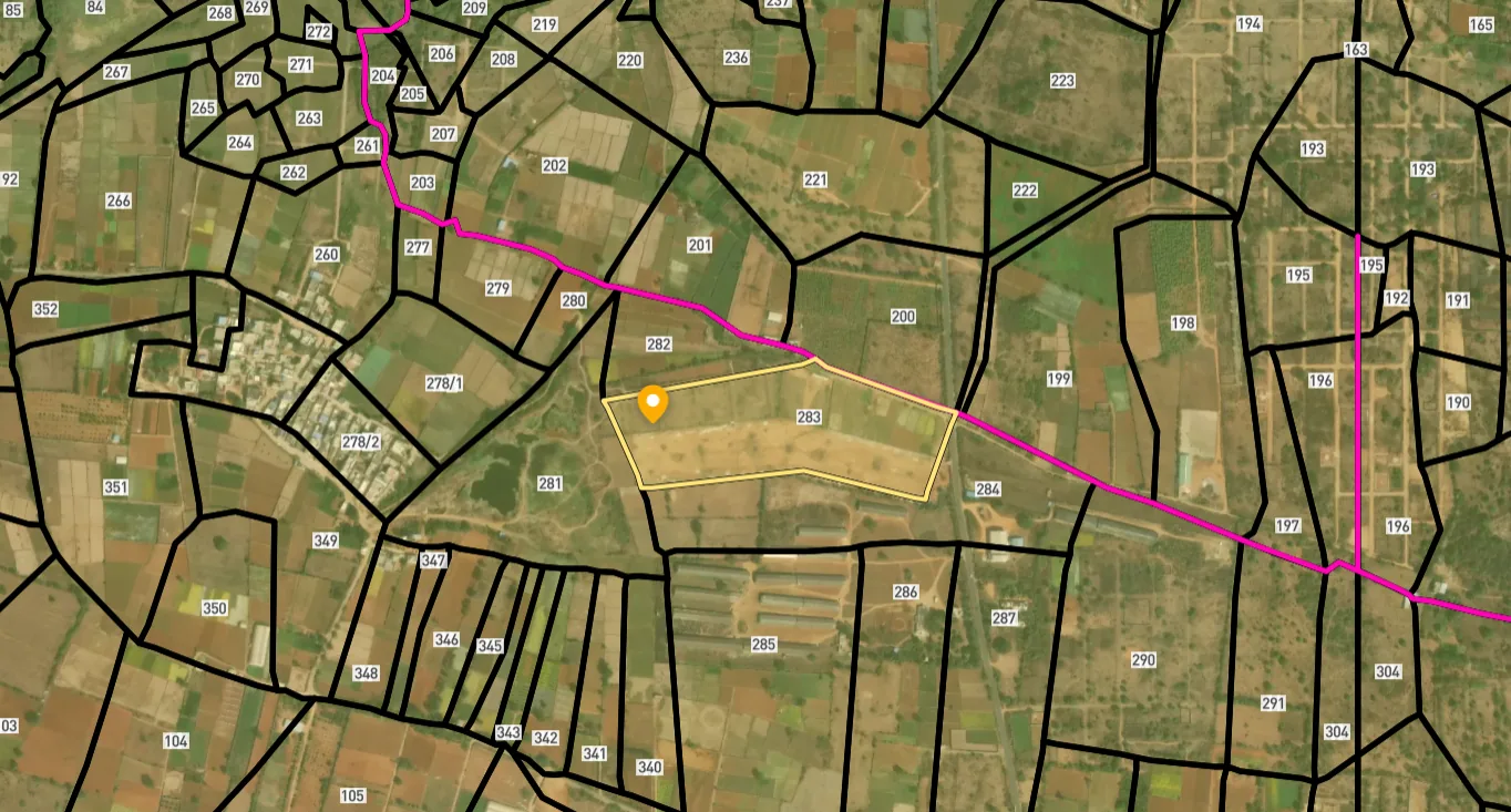
Access Survey NumbersAccess Maharashtra
Survey Numbers
Boundaries and numbers come from published state cadastral records. See all map layers.
Looking to sell your land in Maharashtra?

Browse all verified lands & plots in Maharashtra
More Layers in Maharashtra
See all 60 layers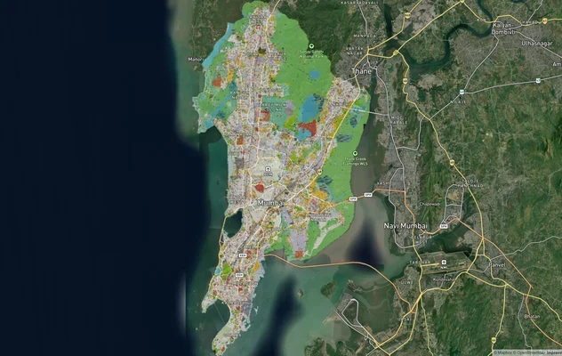
Mumbai Development Plan 2034: Zone Check and Land Use Guide
View Mumbai Masterplan as a live map overlay – check any plot's land use zone for free on 1acre.in. Mumbai masterplan 20...
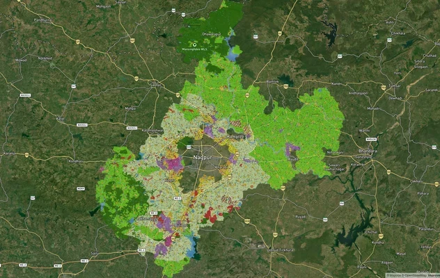
Nagpur Masterplan 2032: Zone Check and Land Use Guide
View Nagpur Masterplan as a live map overlay – check any plot's land use zone for free on 1acre.in. Nagpur Metropolitan ...
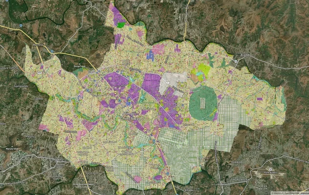
Pimpri Chinchwad PCMC Masterplan: Zone Check and Land Use Guide
View Pimpri Chinchwad Masterplan as a live map overlay – check any plot's land use zone for free on 1acre.in. Pimpri Chi...
More Layers in Maharashtra
Mumbai Development Plan 2034: Zone Check and Land Use Guide
View Mumbai Masterplan as a live map overlay – check any plot's land use zone for free on 1acre.in. Mumbai masterplan 20...
Nagpur Masterplan 2032: Zone Check and Land Use Guide
View Nagpur Masterplan as a live map overlay – check any plot's land use zone for free on 1acre.in. Nagpur Metropolitan ...
Pimpri Chinchwad PCMC Masterplan: Zone Check and Land Use Guide
View Pimpri Chinchwad Masterplan as a live map overlay – check any plot's land use zone for free on 1acre.in. Pimpri Chi...
Frequently Asked Questions
In P North Ward of Malad West. The bridge sits at Dharivali village on Marve Road and is one of six BMC bridges planned across Malad and Andheri under the civic body's western suburbs bridge network. The BMC bridges department is the implementing agency.
The Brihanmumbai Municipal Corporation (BMC) is the implementing authority through its bridges department in P North Ward. The proposal has been through the Maharashtra Coastal Zone Management Authority's 157th meeting and received Environment Ministry CRZ clearance in February 2024.
Yes, in February 2024. The Ministry of Environment, Forest and Climate Change issued CRZ clearance for both the Versova-Madh cable-stayed bridge and the Dharivali village bridge on Marve Road. Forest department clearance and Bombay High Court permission for mangroves are still required.
Six bridges under the plan: Madh-Versova Creek (cable-stayed), Marve-Manori (1.5 km cable-stayed), Ramchandra Nullah at Evershine Nagar Malad, Lagoon Road to Infinity Mall, Oshiwara River to Malad Creek, and the Marve Road bridge at Dharivali village.
Roughly 2,000 mangrove trees across 6.35 hectares according to the BMC's EIA submitted to MCZMA. Every removal requires Bombay High Court permission and a five-times afforestation commitment. Objections have already been raised on the aggregate mangrove impact.
Yes. The Bombay High Court's mangrove protection order fixes a 50-metre buffer around mangroves and requires explicit court permission for any tree cutting inside that buffer. CRZ clearance alone does not authorise felling. BMC must approach the HC separately for each bridge.
DCPR 2034 governs Mumbai zoning under MCGM. Plots on Marve Road can fall under Residential (R), Coastal Regulation Zone (CRZ), or No Development Zone (NDZ). Confirm the exact zone on the MCGM online DP viewer for the property's CTS number before purchase.
Yes. The CRZ Notification 2019 and the Bombay HC order together enforce a 50-metre no-development buffer around mangroves and 100-metre High Tide Line setback in CRZ-II. Plots inside those buffers cannot be built on, regardless of any bridge-adjacent listing.
Source
Official government land and infrastructure records
Official Website
mczma.gov.in
Coordinate Reference System
EPSG:4326 (WGS 84)
Geometry Type
LineString / MultiLineString
Data Format
Vector (GeoJSON) + Raster Tiles
Last Verified
2026
Status
Active
Was this layer helpful?
Anything wrong, outdated, or missing we want to hear it.