
Gaimukh-Payegaon Bridge


Gaimukh_payegaon_bridge Preview
Try the Gaimukh-Payegaon Bridge on the map
Sign in once and explore the layer for a full day.
- No card details needed
- Find nearby verified lands for sale
Overview
The Gaimukh Payegaon bridge land-buying picture is defined by one fact above all: this is a live, funded, under-construction project crossing ecologically sensitive creek land, not a proposal on paper. MMRDA approved the Design and Construction of a creek bridge from Gaimukh to Payegaon in Thane and Bhiwandi in its 156th authority meeting held on March 5, 2024, at Rs. 1,551.18 crore, with Ashoka Buildcon Limited appointed as contractor on October 14, 2024 for the 6.509 km elevated alignment connecting Thane Creek near Gaimukh to Payegaon village. This page covers the CRZ and mangrove clearance risks tied directly to this corridor, the growth pattern the bridge is expected to trigger, and what buyers near either end of the crossing should verify before signing.
Regulatory Red Flags: CRZ, Mangroves, and Land Acquisition
This bridge sits in one of the most legally contested strips of land in the Mumbai Metropolitan Region, and that history should shape how any nearby plot gets evaluated. The Gaimukh–Payegaon corridor runs directly through Coastal Regulation Zone territory along Thane and Vasai Creek, the same waterfront stretch where a related MMRDA road project required the diversion of 2.7 hectares of mangrove forest land and drew explicit concern from the Maharashtra Coastal Zone Management Authority over mangrove cutting.
Here's what the regulatory record shows for this specific creek corridor:
Regulatory Factor
Detail
Buyer Implication
CRZ Notification, 2019 compliance
Mandatory prior permission required for projects affecting mangroves or their 50-metre buffer
Any plot inside a mangrove buffer cannot be legally developed regardless of proximity marketing
Environmental clearance timeline
Design and Environmental Clearance allotted 12 months within the project's 42-month schedule
Bridge completion, and full corridor accessibility, depends on this clearance finishing on time
Related litigation
Bombay High Court has active PILs on Thane Municipal Corporation waterfront development involving CRZ norm violations along the Mumbra-to-Ghodbunder stretch
Land near the creek carries active legal exposure independent of the bridge project itself
Regulatory Factor
Detail
Buyer Implication
CRZ Notification, 2019 compliance
Mandatory prior permission required for projects affecting mangroves or their 50-metre buffer
Any plot inside a mangrove buffer cannot be legally developed regardless of proximity marketing
Environmental clearance timeline
Design and Environmental Clearance allotted 12 months within the project's 42-month schedule
Bridge completion, and full corridor accessibility, depends on this clearance finishing on time
Related litigation
Bombay High Court has active PILs on Thane Municipal Corporation waterfront development involving CRZ norm violations along the Mumbra-to-Ghodbunder stretch
Land near the creek carries active legal exposure independent of the bridge project itself
The neighbouring Thane Coastal Road project, which shares this same waterfront geography and terminates at Gaimukh exactly where this bridge begins, only received its CRZ clearance from MCZMA in August 2023 after what has been described as a lengthy regulatory process, and its viaduct section alone passes through 10.04 hectares of mangroves. That precedent matters directly for Gaimukh-Payegaon: any plot marketed as "bridge-adjacent" or "creek-facing" needs its CRZ classification confirmed independently, because proximity to an infrastructure project does not exempt land from coastal zone restrictions, and local opposition to acquisition along this exact creek has already surfaced, with families in nearby Mogharpada village who have cultivated land along Vasai Creek since 1960 resisting acquisition as recently as 2023.
Growth Corridors: Gaimukh, Payegaon, and the Bhiwandi Freight Belt
The purpose of this bridge is explicitly to redirect both traffic and, over time, real estate demand away from an overloaded single corridor. For years, Ghodbunder Road has carried the full combined load of regional and industrial traffic linking Thane, Mira Road, Borivali, and Vasai-Virar with long-distance freight bound for Palghar, Vapi, and the Gujarat-Ahmedabad highway corridor, creating chronic congestion that spills directly into residential pockets of Thane West.
The bridge is designed to relieve that pressure by opening an entirely new route:
Corridor Segment
Function
Growth Signal
Gaimukh (Ghodbunder Road) to Payegaon
New 6.509 km direct freight and commuter link
Bypasses inner Thane congestion entirely
Payegaon to Anjur-Chinchoti Road
Connects into Bhiwandi's industrial belt
Shortens freight cycle from NH-48 to NH-160
Kasarvadavali, Kolshet, Kalher
Parallel creek-bridge projects under the same MMRDA programme
Forms a north-south creek-connectivity chain across Thane's western edge
Corridor Segment
Function
Growth Signal
Gaimukh (Ghodbunder Road) to Payegaon
New 6.509 km direct freight and commuter link
Bypasses inner Thane congestion entirely
Payegaon to Anjur-Chinchoti Road
Connects into Bhiwandi's industrial belt
Shortens freight cycle from NH-48 to NH-160
Kasarvadavali, Kolshet, Kalher
Parallel creek-bridge projects under the same MMRDA programme
Forms a north-south creek-connectivity chain across Thane's western edge
The bridge is expected to open new growth pockets specifically around Gaimukh, Kasarvadavali, Kalher, and Payegaon, accelerating both residential and industrial expansion in those nodes as freight movement shifts off Ghodbunder Road and onto this new corridor. It is one of three creek-crossing projects MMRDA has advanced together, alongside the Kasarvadavali-Kharbav bridge and the Kolshet-Kalher bridge, together forming what local infrastructure trackers describe as a continuous logistics chain linking NH-48 through Ghodbunder to Payegaon, Anjurphata, and NH-160, with onward connectivity toward MTHL and JNPT.
That scale of connectivity is precisely the kind of infrastructure catalyst that tends to move land prices well ahead of formal completion, so buyers evaluating plots in Payegaon or the Bhiwandi taluka side of the crossing should treat the current pre-completion window as the period of maximum speculative interest, and correspondingly the period requiring the most careful title and zoning verification, not the least.
Was this layer helpful?
Anything wrong, outdated, or missing we want to hear it.

Access Survey NumbersAccess Maharashtra
Survey Numbers
Boundaries and numbers come from published state cadastral records. See all map layers.
Looking to sell your land in Maharashtra?

Browse all verified lands & plots in Maharashtra
More Layers in Maharashtra
See all 61 layers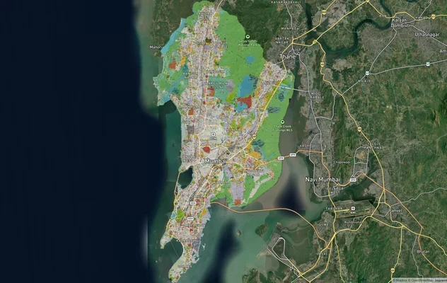
Mumbai Development Plan 2034: Zone Check and Land Use Guide
View Mumbai Masterplan as a live map overlay – check any plot's land use zone for free on 1acre.in. Mumbai masterplan 20...
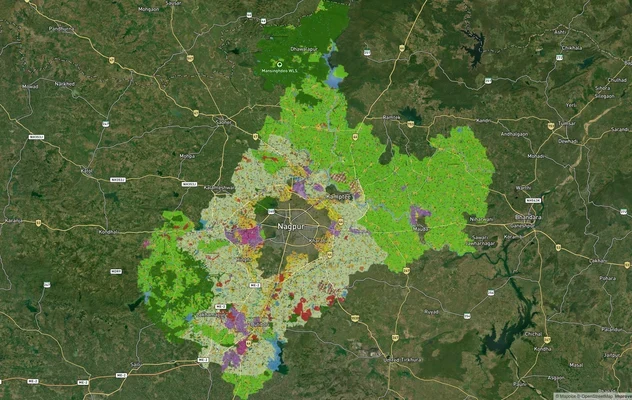
Nagpur Masterplan 2032: Zone Check and Land Use Guide
View Nagpur Masterplan as a live map overlay – check any plot's land use zone for free on 1acre.in. Nagpur Metropolitan ...
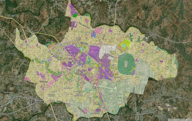
Pimpri Chinchwad PCMC Masterplan: Zone Check and Land Use Guide
View Pimpri Chinchwad Masterplan as a live map overlay – check any plot's land use zone for free on 1acre.in. Pimpri Chi...
More Layers in Maharashtra
Mumbai Development Plan 2034: Zone Check and Land Use Guide
View Mumbai Masterplan as a live map overlay – check any plot's land use zone for free on 1acre.in. Mumbai masterplan 20...
Nagpur Masterplan 2032: Zone Check and Land Use Guide
View Nagpur Masterplan as a live map overlay – check any plot's land use zone for free on 1acre.in. Nagpur Metropolitan ...
Pimpri Chinchwad PCMC Masterplan: Zone Check and Land Use Guide
View Pimpri Chinchwad Masterplan as a live map overlay – check any plot's land use zone for free on 1acre.in. Pimpri Chi...