
Anand Nagar-Saket Bridge


Anand Nagar Saket Bridge Preview
Try the Anand Nagar-Saket Bridge on the map
Sign in once and explore the layer for a full day.
- No card details needed
- Find nearby verified lands for sale
Overview
Anand Nagar Saket Bridge Thane elevated corridor refers to MMRDA's 8.24 km, six-lane elevated road along the Eastern Express Highway, running from Anand Nagar at the Mulund-Thane border to Saket, terminating near Kharegaon Toll Naka. Anand Nagar-Saket Bridge is a live on 1acre. Approved at MMRDA's 156th Authority Meeting in March 2024 for Rs 2,188.62 crore, with J. Kumar Infraprojects Ltd. as contractor since October 2024, piling and utility diversion work is now underway. This page clarifies which project is which around this node, and flags a live regulatory issue on a closely related MMRDA project that any buyer nearby should track.
Two Different "Anand Nagar" Projects, and a CRZ Warning from the Neighbour
The single biggest point of confusion here is that "Anand Nagar" refers to the Eastern Express Highway junction at the Mulund-Thane border, not the separate Anand Nagar located on Ghodbunder Road in Thane. This elevated corridor is also distinct from the newly completed Saket Creek Bridge on the Mumbai-Nashik Highway, a separate MSRDC project that opened in February 2026 to relieve the Majiwada-Vadpe bottleneck. Both projects sit in the same general area and share the "Saket" name, but they solve different traffic problems on different roads.
Two Different "Anand Nagar" Projects, and a CRZ Warning from the Neighbour
Project
Agency
Route
Status
Anand Nagar-Saket Elevated Corridor (this layer)
MMRDA
Eastern Express Highway, Anand Nagar to Kharegaon Toll Naka
Piling and utility diversion in progress; Rs 2,188.62 crore
New Saket Creek Bridge
MSRDC
Mumbai-Nashik Highway, Majiwada-Vadpe
Opened February 2026
Thane Coastal Road Phase 2
MMRDA
Balkum/Kasheli to Anand Nagar (Mulund East)
CRZ clearance pending; deferred by MCZMA in August 2026
The Thane Coastal Road Phase 2, which shares the same Anand Nagar node as this elevated corridor, has run into a direct regulatory obstacle worth understanding even though it is technically a separate project. The Maharashtra Coastal Zone Management Authority deferred MMRDA's proposal in August 2026 after finding the alignment passes through the Eco-Sensitive Zone of the Thane Creek Flamingo Sanctuary, affecting roughly 3,754 mangrove trees and requiring both permanent and temporary removal of mangrove cover. MCZMA directed MMRDA to submit additional environmental studies and explore an alternative alignment before further approval. This matters for anyone evaluating land near the Anand Nagar node: MMRDA has multiple large infrastructure projects converging on this exact junction, and at least one of them is currently stalled on environmental grounds. Confirm which specific project a broker is referencing, and check whether any nearby parcel sits within the CRZ or mangrove Eco-Sensitive Zone before assuming construction rights.
What This Means for Land Near the Corridor
The Anand Nagar-Saket elevated corridor itself, unlike its coastal-road neighbour, runs above the existing Eastern Express Highway through already-built-up Thane junctions like Teen Hath Naka, Nitin Junction, Cadbury Junction, and Majiwada, rather than through a fresh mangrove-sensitive alignment.
What This Means for Land Near the Corridor
Location Along Corridor
Growth Driver
Known Risk
Anand Nagar (Mulund-Thane border)
Starting point of both this elevated corridor and the separately-planned coastal road
Confirm which project's timeline actually applies to a given plot
Teen Hath Naka to Majiwada
Six-lane elevated corridor decongesting a heavily used stretch
Existing built-up area; limited vacant land upside directly on this stretch
Kharegaon / Saket
Corridor terminus, connects to upgraded Thane-Nashik highway corridor
Benefits from both this project and the new Saket Creek Bridge nearby
Ghodbunder Road (separate Anand Nagar)
Established Thane residential/commercial corridor
Not the same location as this project's starting point; don't conflate the two
Since this elevated corridor runs above an existing highway through built-up urban Thane rather than through undeveloped coastal or mangrove land, it does not carry the same CRZ exposure as the nearby coastal road project. That is a meaningful distinction for land buyers: proximity to "Anand Nagar" alone does not tell you which regulatory regime applies. A parcel near the elevated corridor's alignment above the Eastern Express Highway is a different risk profile from a parcel near the coastal road's mangrove-adjacent alignment, even though both start from the same junction.
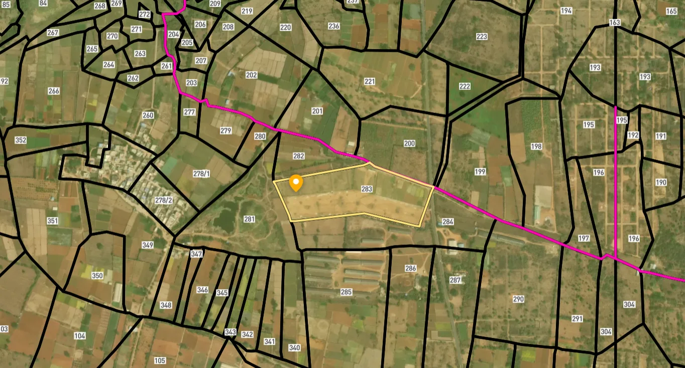
Access Survey NumbersAccess Maharashtra
Survey Numbers
Boundaries and numbers come from published state cadastral records. See all map layers.
Looking to sell your land in Maharashtra?

Browse all verified lands & plots in Maharashtra
More Layers in Maharashtra
See all 60 layers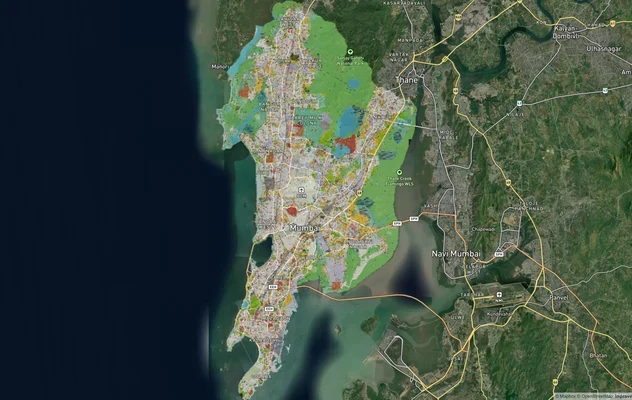
Mumbai Development Plan 2034: Zone Check and Land Use Guide
View Mumbai Masterplan as a live map overlay – check any plot's land use zone for free on 1acre.in. Mumbai masterplan 20...
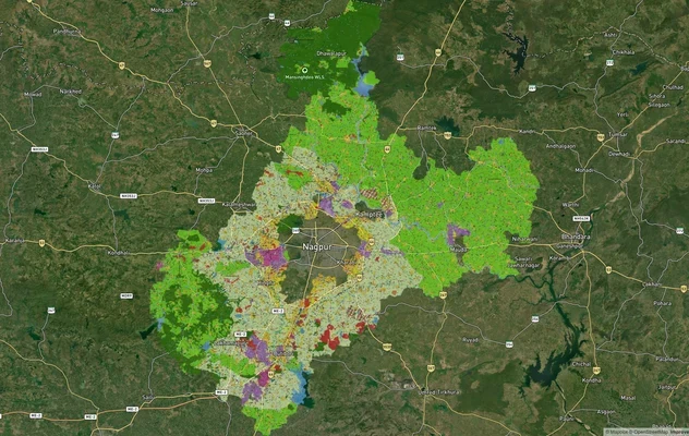
Nagpur Masterplan 2032: Zone Check and Land Use Guide
View Nagpur Masterplan as a live map overlay – check any plot's land use zone for free on 1acre.in. Nagpur Metropolitan ...
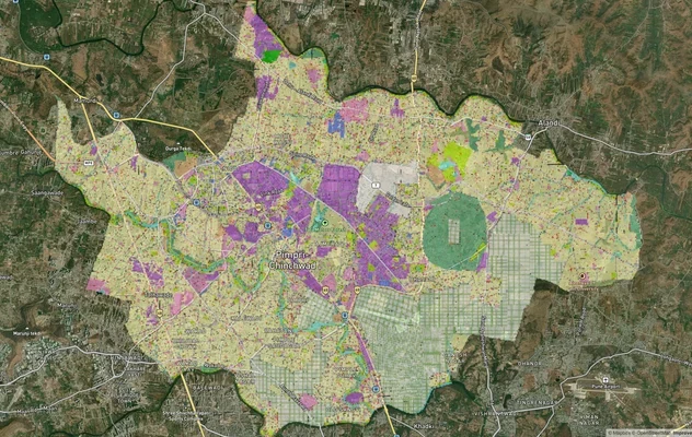
Pimpri Chinchwad PCMC Masterplan: Zone Check and Land Use Guide
View Pimpri Chinchwad Masterplan as a live map overlay – check any plot's land use zone for free on 1acre.in. Pimpri Chi...
More Layers in Maharashtra
Mumbai Development Plan 2034: Zone Check and Land Use Guide
View Mumbai Masterplan as a live map overlay – check any plot's land use zone for free on 1acre.in. Mumbai masterplan 20...
Nagpur Masterplan 2032: Zone Check and Land Use Guide
View Nagpur Masterplan as a live map overlay – check any plot's land use zone for free on 1acre.in. Nagpur Metropolitan ...
Pimpri Chinchwad PCMC Masterplan: Zone Check and Land Use Guide
View Pimpri Chinchwad Masterplan as a live map overlay – check any plot's land use zone for free on 1acre.in. Pimpri Chi...
Frequently Asked Questions
It is an 8.24 km, six-lane elevated road built by MMRDA along the Eastern Express Highway, running from Anand Nagar at the Mulund-Thane border to Saket, near Kharegaon Toll Naka.
No. This project's Anand Nagar is the Eastern Express Highway junction at the Mulund-Thane border, a completely different location from the Anand Nagar on Ghodbunder Road in Thane.
The Saket Creek Bridge is a separate MSRDC project on the Mumbai-Nashik Highway that opened in February 2026 to relieve the Majiwada-Vadpe bottleneck. This elevated corridor is an MMRDA project on the Eastern Express Highway.
The Maharashtra Coastal Zone Management Authority deferred the proposal in August 2026 because its alignment passes through the Eco-Sensitive Zone of the Thane Creek Flamingo Sanctuary, affecting thousands of mangrove trees.
Approximately 3,754 mangrove trees are affected under one MMRDA submission, with 1.7472 hectares of permanent mangrove removal and 2.7225 hectares of temporary removal proposed.
J. Kumar Infraprojects Ltd. is the contractor, appointed in October 2024, with an accepted contract amount of Rs 1,847.72 crore against MMRDA's approved project cost of Rs 2,188.62 crore.
Yes. As of the latest MMRDA update, utility diversion works and execution of working piles, pile caps, piers and pier caps are in progress.
Unlikely in the same way, since this corridor runs above the existing Eastern Express Highway through built-up urban Thane rather than through the mangrove-sensitive coastal alignment that triggered the Coastal Road Phase 2's regulatory hold.
Source
Official government land and infrastructure records
Official Website
mmrda.maharashtra.gov.in
Coordinate Reference System
EPSG:4326 (WGS 84)
Geometry Type
LineString / MultiLineString
Data Format
Vector (GeoJSON) + Raster Tiles
Last Verified
2026
Status
Active
Was this layer helpful?
Anything wrong, outdated, or missing we want to hear it.