
Thane- NMIA Elevated Corridor


Thane Nmia Elevated Corridor Preview
Try the Thane- NMIA Elevated Corridor on the map
Sign in once and explore the layer for a full day.
- No card details needed
- Find nearby verified lands for sale
Overview
Thane NMIA Elevated Corridor land acquisition covers CIDCO's proposed 26 km, six-lane elevated roadway connecting Thane to the Navi Mumbai International Airport, running from Patni Chowk (Digha) parallel to Thane-Belapur Road before extending as a double-decker structure from Vashi to the airport itself. Thane-NMIA Elevated Corridor is a live on 1acre. Estimated to cost between Rs 6,500 crore and Rs 8,000 crore, the project received state government approval and is being developed on a public-private partnership basis. This page covers the corridor's two-phase structure, the CRZ and mangrove clearance challenge facing its second half, and where growth is concentrating.
Two Phases, Two Very Different Regulatory Paths
The corridor splits cleanly into two segments with very different land and environmental profiles. The first phase, roughly 17 km from Digha's Patni Chowk (Dhan Nirankari Chowk) to Palm Beach Road in Vashi, runs parallel to the existing Thane-Belapur Road and faces comparatively fewer regulatory hurdles. The second phase, a 9 km double-decker elevated stretch from Vashi to NMIA, crosses mangrove areas and Coastal Regulation Zone territory, requiring multiple separate environmental clearances.
Two Phases, Two Very Different Regulatory Paths
Phase
Route
Regulatory Profile
Phase 1
Digha (Patni Chowk) to Vashi (Palm Beach Road), ~17 km
Fewer regulatory hurdles; runs parallel to existing road
Phase 2
Vashi to NMIA, ~9 km, double-decker
Crosses mangrove and CRZ territory; multiple clearances required
Supporting land transfer
Forest Department approved transfer of 4,859 sq metres near Ulwe and Sonkhar creeks for a new bridge
Confirms mangrove-adjacent land is actively being processed for this project
Phase
Route
Regulatory Profile
Phase 1
Digha (Patni Chowk) to Vashi (Palm Beach Road), ~17 km
Fewer regulatory hurdles; runs parallel to existing road
Phase 2
Vashi to NMIA, ~9 km, double-decker
Crosses mangrove and CRZ territory; multiple clearances required
Supporting land transfer
Forest Department approved transfer of 4,859 sq metres near Ulwe and Sonkhar creeks for a new bridge
Confirms mangrove-adjacent land is actively being processed for this project
To support the project's revenue model, the state government has committed to acquiring additional land along the alignment for commercial use, and separately transferring government-owned land beneath the project route to CIDCO at a nominal rate. A concrete step has already occurred: the Maharashtra Forest Department approved transferring 4,859 square metres of land near the Ulwe and Sonkhar creeks specifically to enable a new bridge for this corridor, confirming that mangrove-adjacent clearances for Phase 2 are actively moving forward rather than purely theoretical. Anyone evaluating land near the Vashi-to-NMIA stretch should check CRZ classification and mangrove buffer status directly, since this half of the project carries meaningfully more regulatory friction than the Digha-Vashi section.
Where Growth Is Concentrating Along the Corridor
Navi Mumbai International Airport itself began commercial operations in the second half of 2025, following successful test flights, giving this corridor's underlying demand driver a firm, dated anchor rather than a speculative one.
Where Growth Is Concentrating Along the Corridor
Location
Growth Driver
Known Risk
Kalwa, Airoli, Rabale
Direct beneficiaries of reduced commute time to NMIA once corridor opens
Corridor still at DPR/approval stage; timeline not yet finalised
Mahape / DAKC belt
Commercial and IT hub benefiting from faster airport access for business travel and logistics
Office and commercial demand tied to corridor completion timeline
Vashi
Junction point between Phase 1 and Phase 2 of the corridor
Sits at the transition into the more regulation-heavy CRZ stretch
Ulwe, Panvel
Already the top-tier NMIA-anchored growth zone per current market classifications
Land value already substantially repriced around confirmed airport operations
Location
Growth Driver
Known Risk
Kalwa, Airoli, Rabale
Direct beneficiaries of reduced commute time to NMIA once corridor opens
Corridor still at DPR/approval stage; timeline not yet finalised
Mahape / DAKC belt
Commercial and IT hub benefiting from faster airport access for business travel and logistics
Office and commercial demand tied to corridor completion timeline
Vashi
Junction point between Phase 1 and Phase 2 of the corridor
Sits at the transition into the more regulation-heavy CRZ stretch
Ulwe, Panvel
Already the top-tier NMIA-anchored growth zone per current market classifications
Land value already substantially repriced around confirmed airport operations
Analysts already rank Ulwe and Panvel as the highest-appreciation tier in the wider Navi Mumbai market specifically because they are anchored by NMIA itself, while Thane-side localities like Kalwa and Airoli sit in a lower but still meaningful tier, contingent on this corridor and the parallel Metro Line 8 project (linking CSMIA and NMIA through Vashi, Nerul, Seawoods and Kharghar) actually being delivered. Since Metro Line 8 was approved under a PPP model only in late 2025, and this elevated corridor remains at the DPR and approval stage, treat Thane-side appreciation here as tied to execution risk on two separate large projects, not a single confirmed timeline.
Was this layer helpful?
Anything wrong, outdated, or missing we want to hear it.

Access Survey NumbersAccess Maharashtra
Survey Numbers
Boundaries and numbers come from published state cadastral records. See all map layers.
Looking to sell your land in Maharashtra?

Browse all verified lands & plots in Maharashtra
More Layers in Maharashtra
See all 61 layers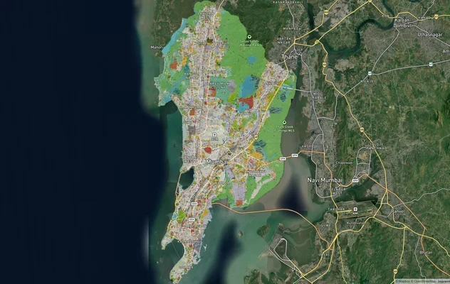
Mumbai Development Plan 2034: Zone Check and Land Use Guide
View Mumbai Masterplan as a live map overlay – check any plot's land use zone for free on 1acre.in. Mumbai masterplan 20...
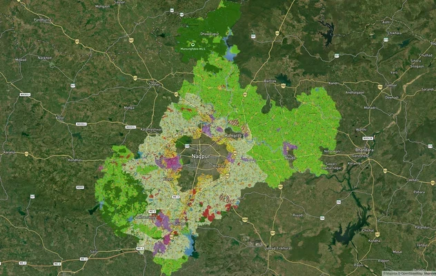
Nagpur Masterplan 2032: Zone Check and Land Use Guide
View Nagpur Masterplan as a live map overlay – check any plot's land use zone for free on 1acre.in. Nagpur Metropolitan ...
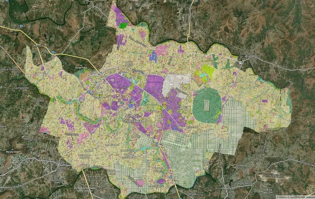
Pimpri Chinchwad PCMC Masterplan: Zone Check and Land Use Guide
View Pimpri Chinchwad Masterplan as a live map overlay – check any plot's land use zone for free on 1acre.in. Pimpri Chi...
More Layers in Maharashtra
Mumbai Development Plan 2034: Zone Check and Land Use Guide
View Mumbai Masterplan as a live map overlay – check any plot's land use zone for free on 1acre.in. Mumbai masterplan 20...
Nagpur Masterplan 2032: Zone Check and Land Use Guide
View Nagpur Masterplan as a live map overlay – check any plot's land use zone for free on 1acre.in. Nagpur Metropolitan ...
Pimpri Chinchwad PCMC Masterplan: Zone Check and Land Use Guide
View Pimpri Chinchwad Masterplan as a live map overlay – check any plot's land use zone for free on 1acre.in. Pimpri Chi...