
Pagote-Chowk Expressway


Pagote Chowk Expressway Preview
Try the Pagote-Chowk Expressway on the map
एक बार साइन इन करें और पूरे दिन लेयर एक्सप्लोर करें।
- No card details needed
- Find nearby verified lands for sale
Overview
The Pagote Chowk expressway Navi Mumbai project is a 29.219 km, six-lane access-controlled greenfield national highway from JNPA Port at Pagote village to Chowk junction on NH-48, cleared by the CCEA on BOT (Toll) mode at ₹4,500.62 crore.
The corridor cuts through 29 villages in Uran, Panvel, and Khalapur talukas of Raigad district, with a 60-metre right of way already notified.This page covers the notified strip, the NAINA overlap, and the checks buyers must run before signing anything along the route.
NHAI Pagote Chowk Land Acquisition and the NAINA CIDCO Panvel Overlap
The critical fact most buyers miss: the same plot can sit inside both the NHAI notified acquisition strip and the NAINA CIDCO Panvel planning area. That double jurisdiction changes everything about how the plot can be sold, converted, or built on.
Under Section 3(A) and 3(D) of the National Highways Act, once NHAI notifies land, the owner can no longer transfer clean title, and compensation moves to Land Acquisition Collector rates in Raigad district, not the ready reckoner.
The table below shows the document stack you must verify on any parcel near the alignment.
NHAI Pagote Chowk Land Acquisition and the NAINA CIDCO Panvel Overlap
Zone / Document
What It Governs
Required Before Purchase?
Common Trap
NH acquisition strip (60m RoW)
Highway alignment
Confirm plot is outside notified strip
Sold as agricultural, already notified
NAINA U1 / U2 Zone (CIDCO)
Development potential 0.2 to 0.35 FSI
Sanctioned DCPR check
Sold as “1.0 FSI” without TPS finalisation
G1 / G2 Zone (CIDCO)
0.05 to 0.1 FSI, low buildability
Zone map from CIDCO
Marketed as residential
MSRDC SPA (71 villages)
Panvel and Khalapur planning control
SPA jurisdiction confirmation
Confused with NAINA
NA order (Sanad) + 7/12 extract
Legal buildability
Both mandatory
Old 7/12 without mutation entries
Zone / Document
What It Governs
Required Before Purchase?
Common Trap
NH acquisition strip (60m RoW)
Highway alignment
Confirm plot is outside notified strip
Sold as agricultural, already notified
NAINA U1 / U2 Zone (CIDCO)
Development potential 0.2 to 0.35 FSI
Sanctioned DCPR check
Sold as “1.0 FSI” without TPS finalisation
G1 / G2 Zone (CIDCO)
0.05 to 0.1 FSI, low buildability
Zone map from CIDCO
Marketed as residential
MSRDC SPA (71 villages)
Panvel and Khalapur planning control
SPA jurisdiction confirmation
Confused with NAINA
NA order (Sanad) + 7/12 extract
Legal buildability
Both mandatory
Old 7/12 without mutation entries
If the seller cannot produce the current 7/12 extract, the mutation (ferfar) chain, and written confirmation that the survey number sits outside the 100-metre corridor already acquired by NHAI, treat the plot as unbuyable. No brokerage price gets around a 3(D) notification.
Pagote Chowk Expressway Route and the Uran Panvel Khalapur Villages
The alignment starts at Pagote near JNPA (Design km 0.000), runs through 29 villages across three talukas, and terminates at Chowk on NH-48 (Design km 29.219). Two Sahyadri tunnels of 1.9 km and 1.57 km replace the ghat section, which is why the corridor’s eastern flank shifts value more sharply than the western.
The table below sorts the affected zones by investability along the Pagote Chowk expressway route.
Pagote Chowk Expressway Route and the Uran Panvel Khalapur Villages
Corridor / Locality
Planning Authority
Growth Driver
Known Risk
Pagote (Uran taluka)
NAINA / CIDCO
JNPA port link, NH-348 head
Full acquisition, thin resale liquidity
Uran-Chirner belt
CIDCO 22.5% scheme
Reliance SEZ, port logistics
Gaothan boundary disputes
Panvel Palaspe-Kolkhe
NAINA TPS zones
Airport, Atal Setu spillover
TPS final plot allocation pending
Khalapur (Chowk end)
MSRDC SPA
NH-48 interchange
Western Ghats eco-sensitive buffer
Karjat side (via Chowk)
Raigad Regional Plan 1991
Second Mumbai-Pune corridor
Agricultural without NA order
Corridor / Locality
Planning Authority
Growth Driver
Known Risk
Pagote (Uran taluka)
NAINA / CIDCO
JNPA port link, NH-348 head
Full acquisition, thin resale liquidity
Uran-Chirner belt
CIDCO 22.5% scheme
Reliance SEZ, port logistics
Gaothan boundary disputes
Panvel Palaspe-Kolkhe
NAINA TPS zones
Airport, Atal Setu spillover
TPS final plot allocation pending
Khalapur (Chowk end)
MSRDC SPA
NH-48 interchange
Western Ghats eco-sensitive buffer
Karjat side (via Chowk)
Raigad Regional Plan 1991
Second Mumbai-Pune corridor
Agricultural without NA order
The most misread segment is the Uran-Chirner belt. Buyers assume proximity to JNPA guarantees appreciation. It does not. Large tracts inside the 22.5% CIDCO scheme are already earmarked for infrastructure return to CIDCO, and the transferable component to the original landholder is limited. Confirm scheme category on the CIDCO Sanctioned DCPR before treating any Uran plot as freehold.
क्या यह लेयर सहायक थी?
Anything wrong, outdated, or missing we want to hear it.

सर्वे नंबर देखेंMaharashtra
के सर्वे नंबर देखें
सीमाएँ और नंबर राज्य के प्रकाशित भू-अभिलेखों से लिए गए हैं। सभी मैप लेयर्स देखें।
Maharashtra में अपनी ज़मीन बेचना चाहते हैं?

Maharashtra में सभी सत्यापित ज़मीन और प्लॉट ब्राउज़ करें
Maharashtra में और लेयर्स
सभी 61 लेयर्स देखें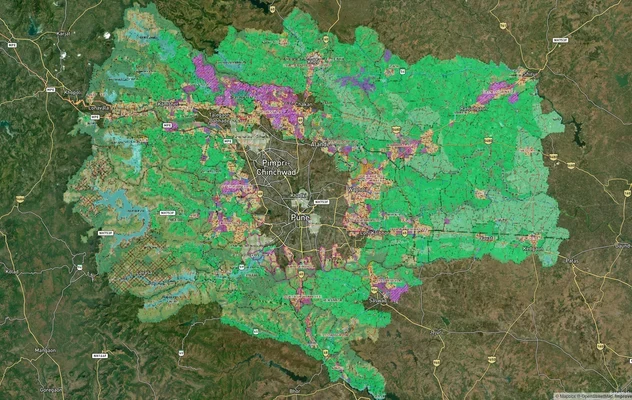
PMRDA मास्टरप्लान: पुणे मेट्रोपॉलिटन रीजन ज़ोन चेक
1acre.in पर PMRDA मास्टरप्लान को लाइव मैप ओवरले के रूप में देखें – किसी भी प्लॉट का लैंड यूज़ ज़ोन मुफ़्त में चेक करें. ...
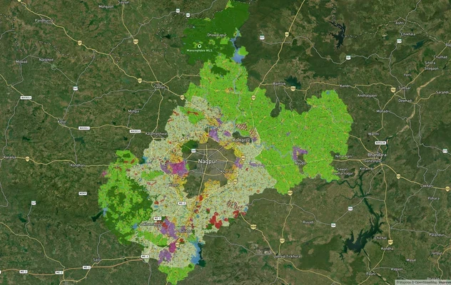
नागपुर मास्टरप्लान 2032: ज़ोन चेक और लैंड यूज़ गाइड
1acre.in पर नागपुर मास्टरप्लान को लाइव मैप ओवरले के रूप में देखें – किसी भी प्लॉट का लैंड यूज़ ज़ोन मुफ़्त में चेक करें....
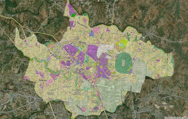
पिंपरी चिंचवड PCMC मास्टर प्लान: ज़ोन चेक और लैंड यूज़ गाइड
पिंपरी चिंचवड मास्टर प्लान को लाइव मैप ओवरले के रूप में देखें – 1acre.in पर किसी भी प्लॉट का लैंड यूज़ ज़ोन मुफ़्त में च...
Maharashtra में और लेयर्स
PMRDA मास्टरप्लान: पुणे मेट्रोपॉलिटन रीजन ज़ोन चेक
1acre.in पर PMRDA मास्टरप्लान को लाइव मैप ओवरले के रूप में देखें – किसी भी प्लॉट का लैंड यूज़ ज़ोन मुफ़्त में चेक करें. ...
नागपुर मास्टरप्लान 2032: ज़ोन चेक और लैंड यूज़ गाइड
1acre.in पर नागपुर मास्टरप्लान को लाइव मैप ओवरले के रूप में देखें – किसी भी प्लॉट का लैंड यूज़ ज़ोन मुफ़्त में चेक करें....
पिंपरी चिंचवड PCMC मास्टर प्लान: ज़ोन चेक और लैंड यूज़ गाइड
पिंपरी चिंचवड मास्टर प्लान को लाइव मैप ओवरले के रूप में देखें – 1acre.in पर किसी भी प्लॉट का लैंड यूज़ ज़ोन मुफ़्त में च...