
Pune-Nashik Expressway


Pune Nashik Expressway Preview
Try the Pune-Nashik Expressway on the map
एक बार साइन इन करें और पूरे दिन लेयर एक्सप्लोर करें।
- No card details needed
- Find nearby verified lands for sale
Overview
A Pune-Nashik Expressway land purchase depends on knowing exactly where MSRDC's 180 km, 6-lane access-controlled greenfield corridor cuts through western Maharashtra. The expressway starts at Chimbali on the proposed Pune Ring Road and ends at Shinde village on NH-60 near Nashik, cutting travel time from four to five hours down to two. It crosses three districts: Pune, Ahilyanagar and Nashik. MSRDC invited DPR and land acquisition tenders in October 2022; a land acquisition notification has since been issued. This page maps the alignment, taluka-level acquisition risk and buyer checkpoints.
Regulatory Red Flags on Any Pune-Nashik Expressway Land Purchase
MSRDC runs the Pune-Nashik Industrial Expressway as a greenfield, access-controlled 6-lane corridor. Greenfield means new land taken from private owners through the Land Acquisition Act, 2013. Access-controlled means no side entry, no field driveway, no shop opening onto the corridor. Interchanges are the only entry and exit points.
The DPR was still being finalised when MSRDC issued a land acquisition notification. That gap matters. When DPR alignment changes, some parcels that were "not on the corridor" a year ago now sit inside the RoW. The tender for DPR, feasibility study and land acquisition assistance was invited in October 2022, and the corridor is expected to loosely follow the 234 km Pune-Nashik Semi High-Speed Rail alignment.
The table below shows what a Pune-Nashik Expressway land buyer must verify before any advance payment.
Regulatory Red Flags on Any Pune-Nashik Expressway Land Purchase
Check
What to Confirm
Failure Signal
Alignment Status
Plot inside or outside the notified 11(1) / 19 corridor
Seller citing an alignment map older than one year
Interchange Distance
Kilometres to the nearest planned interchange
Plot deep in the corridor with no access point within 5-10 km
7/12 Extract (Satbara)
Latest owner name, gat number, area, mutation entries
Owner name different from sale deed or Aadhaar
Semi HSR Overlap
Parcel also on the Pune-Nashik Semi High-Speed Rail alignment
Double acquisition risk on a single gat
Corridor Setback
Distance from the expressway boundary
Construction intent inside the RoW
Check
What to Confirm
Failure Signal
Alignment Status
Plot inside or outside the notified 11(1) / 19 corridor
Seller citing an alignment map older than one year
Interchange Distance
Kilometres to the nearest planned interchange
Plot deep in the corridor with no access point within 5-10 km
7/12 Extract (Satbara)
Latest owner name, gat number, area, mutation entries
Owner name different from sale deed or Aadhaar
Semi HSR Overlap
Parcel also on the Pune-Nashik Semi High-Speed Rail alignment
Double acquisition risk on a single gat
Corridor Setback
Distance from the expressway boundary
Construction intent inside the RoW
The trap is corridor overlap. Both projects, the expressway and the Pune-Nashik Semi High-Speed Rail, share the same broad alignment through Pune, Ahilyanagar and Nashik districts. A single gat may attract MSRDC's expressway 11(1) notification and MahaRail's semi-HSR notification at different times. Compensation for one does not automatically settle the other. Check both the MSRDC land acquisition list and the MRIDC acquisition status on the district collector's site. MSRDC land acquisition sits under the state Land Acquisition Act, 2013, and Section 26(3) fixes market value based on the higher of the sale deed rate or the notified market value. Buyers negotiating post-notification should factor in that reference price. Maharashtra revenue vocabulary matters: gat number is the aggregated survey number, satbara is the 7/12 extract, ferfar is the mutation register. Every field must reconcile with the sale deed and both project notifications before a rupee moves.
Growth Corridors from Chimbali Through Chakan, Junnar, Sangamner and Into Sinnar-Nashik
The corridor's economic weight sits at three points: the Chimbali starting point on the Pune Ring Road, the mid-corridor crossing with the Samruddhi Mahamarg (Mumbai-Nagpur Expressway), and the Shinde terminus on NH-60 near Nashik. Each stretch has its own micro-market logic.
The alignment passes through Junnar, Ambegaon and Khed talukas of Pune district, Sangamner taluka of Ahilyanagar district, and Sinnar taluka of Nashik district. Chakan (Khed taluka) is a major MIDC anchor. Sinnar sits on both this expressway and the Samruddhi Mahamarg's Nashik interchange. Sangamner has been a land aggregation belt since Samruddhi's approval. Chakan MIDC has been on the industrial buyer radar for two decades; the expressway interchange at Chakan connects it directly to Nashik's Sinnar MIDC and Ambad-Satpur MIDC. Industrial land value in Chakan tracks corridor progress more tightly than residential.
The table below shows the micro-markets along the alignment and their present buyer risk profile.
Growth Corridors from Chimbali Through Chakan, Junnar, Sangamner and Into Sinnar-Nashik
Micro-Market / Corridor
What Drives Value
Buyer Risk
Chimbali, Chakan (Pune)
Pune Ring Road junction, Chakan MIDC
Ring Road acquisition overlap, industrial zoning gaps
Khed, Ambegaon (Pune)
24 semi-HSR stations, MIDC potential
Semi-HSR and expressway double notification
Junnar (Pune)
Historic sites, agricultural belt
Farmer resistance, unclear alignment locally
Sangamner (Ahilyanagar)
Samruddhi Mahamarg interchange proximity
Speculative pricing without notification copy
Sinnar-Nashik terminus
NH-60 junction, Sinnar MIDC
Sinnar interchange overlap, town planning conflicts
Micro-Market / Corridor
What Drives Value
Buyer Risk
Chimbali, Chakan (Pune)
Pune Ring Road junction, Chakan MIDC
Ring Road acquisition overlap, industrial zoning gaps
Khed, Ambegaon (Pune)
24 semi-HSR stations, MIDC potential
Semi-HSR and expressway double notification
Junnar (Pune)
Historic sites, agricultural belt
Farmer resistance, unclear alignment locally
Sangamner (Ahilyanagar)
Samruddhi Mahamarg interchange proximity
Speculative pricing without notification copy
Sinnar-Nashik terminus
NH-60 junction, Sinnar MIDC
Sinnar interchange overlap, town planning conflicts
The most misread market is Sinnar. The taluka already sits on the Samruddhi Mahamarg's Nashik interchange, and the Pune-Nashik Expressway's terminus at Shinde village adds a second corridor to the same footprint. Some gats in Sinnar have attracted both projects' preliminary survey work.
Ask for the specific MSRDC land acquisition case number for the expressway and cross-check with the Samruddhi land record for the same gat. On the Pune end at Chakan, the corridor origin runs into the Pune Ring Road acquisition list, which MSRDC has allocated Rs 11,000 crore for across 83 villages. Overlap risk is highest here. A Pune-Nashik Expressway land purchase without a fresh satbara, a district-collector search, and an MRIDC cross-check is guesswork.
क्या यह लेयर सहायक थी?
Anything wrong, outdated, or missing we want to hear it.

सर्वे नंबर देखेंMaharashtra
के सर्वे नंबर देखें
सीमाएँ और नंबर राज्य के प्रकाशित भू-अभिलेखों से लिए गए हैं। सभी मैप लेयर्स देखें।
Maharashtra में अपनी ज़मीन बेचना चाहते हैं?

Maharashtra में सभी सत्यापित ज़मीन और प्लॉट ब्राउज़ करें
Maharashtra में और लेयर्स
सभी 61 लेयर्स देखें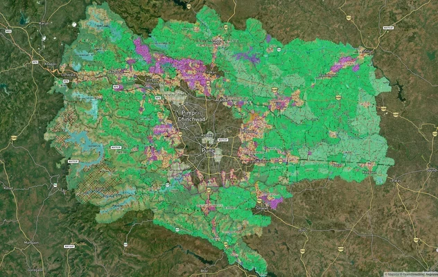
PMRDA मास्टरप्लान: पुणे मेट्रोपॉलिटन रीजन ज़ोन चेक
1acre.in पर PMRDA मास्टरप्लान को लाइव मैप ओवरले के रूप में देखें – किसी भी प्लॉट का लैंड यूज़ ज़ोन मुफ़्त में चेक करें. ...
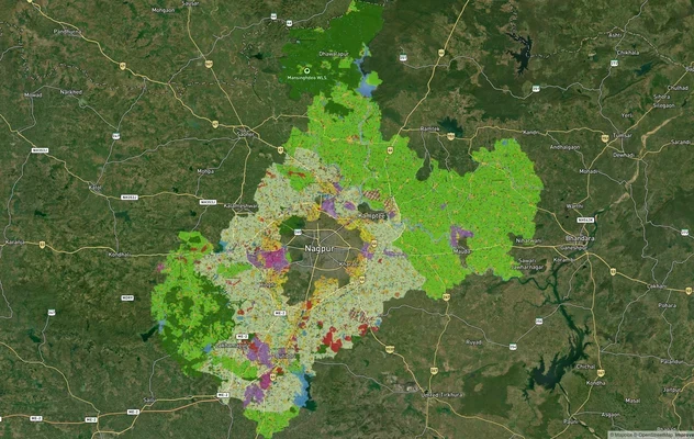
नागपुर मास्टरप्लान 2032: ज़ोन चेक और लैंड यूज़ गाइड
1acre.in पर नागपुर मास्टरप्लान को लाइव मैप ओवरले के रूप में देखें – किसी भी प्लॉट का लैंड यूज़ ज़ोन मुफ़्त में चेक करें....
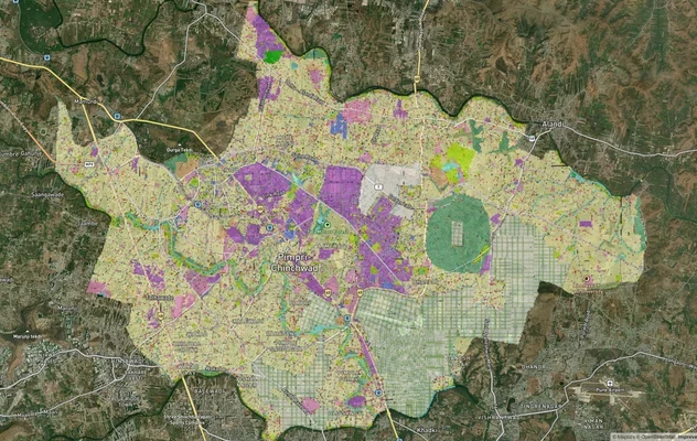
पिंपरी चिंचवड PCMC मास्टर प्लान: ज़ोन चेक और लैंड यूज़ गाइड
पिंपरी चिंचवड मास्टर प्लान को लाइव मैप ओवरले के रूप में देखें – 1acre.in पर किसी भी प्लॉट का लैंड यूज़ ज़ोन मुफ़्त में च...
Maharashtra में और लेयर्स
PMRDA मास्टरप्लान: पुणे मेट्रोपॉलिटन रीजन ज़ोन चेक
1acre.in पर PMRDA मास्टरप्लान को लाइव मैप ओवरले के रूप में देखें – किसी भी प्लॉट का लैंड यूज़ ज़ोन मुफ़्त में चेक करें. ...
नागपुर मास्टरप्लान 2032: ज़ोन चेक और लैंड यूज़ गाइड
1acre.in पर नागपुर मास्टरप्लान को लाइव मैप ओवरले के रूप में देखें – किसी भी प्लॉट का लैंड यूज़ ज़ोन मुफ़्त में चेक करें....
पिंपरी चिंचवड PCMC मास्टर प्लान: ज़ोन चेक और लैंड यूज़ गाइड
पिंपरी चिंचवड मास्टर प्लान को लाइव मैप ओवरले के रूप में देखें – 1acre.in पर किसी भी प्लॉट का लैंड यूज़ ज़ोन मुफ़्त में च...