
Sewri–Worli Elevated Connector
Overview
The Sewri-Worli Elevated Connector land records question sits in one of Mumbai's oldest, most densely built central districts, and that single fact changes what actually matters for a buyer here compared with a project cutting through open or forested land elsewhere in this series. This 4.5-kilometre, four-lane double-decker corridor, built by the Mumbai Metropolitan Region Development Authority at a cost of roughly 1,051.86 crore rupees, is designed to link the Atal Setu, Mumbai's Trans Harbour Link, at Sewri with the Bandra-Worli Sea Link and the under-construction Mumbai Coastal Road further north. Its most striking engineering feature is a double-decker bridge replacing a 112-year-old structure over active railway lines near Elphinstone Road, one of the more complicated demolition-and-rebuild jobs Mumbai has attempted in recent memory, involving live rail traffic passing directly underneath the construction site for much of the build. Land near this corridor sits inside the city's dense, already-developed core, checked through Property Cards rather than a rural 7/12 extract, and the real regulatory question here has far less to do with forest classification or agricultural eligibility, the kind of issue that dominates rural corridors elsewhere, and far more to do with road-widening lines and redevelopment rules that already shape almost every building sitting along this specific route. Anyone weighing land nearby needs to understand both halves of the picture: what the paperwork actually says today, and how far this particular project has genuinely come after a construction history that has been unusually bumpy even by Mumbai standards.
Regulatory Red Flags Around the Sewri-Worli Elevated Connector
Start with what ownership records can and cannot tell you in this part of Mumbai, because the gap between the two is exactly where buyers get caught out. A Property Card, tied to a CTS number rather than a rural survey number, confirms who currently owns a specific plot or building unit, and it is available through Mahabhulekh the same way records get checked elsewhere in the state. But central Mumbai's older, densely built stretches, running through Sewri, Prabhadevi, Elphinstone Road, and Worli, carry a layer of complication that ownership alone never resolves on its own. The city's Development Plan marks specific road-widening and reservation lines directly through this exact corridor, and a building or plot sitting inside one of those lines can face partial demolition, a required setback from its current boundary, or eventual compensation through Transferable Development Rights rather than a straightforward cash payment, regardless of how clean and uncomplicated its Property Card otherwise looks on paper. A buyer should confirm a specific address's Development Plan status directly with the local ward office before assuming that a legally sound Property Card by itself settles the question of what can actually be built there, or even what can be kept standing there once construction along the corridor reaches that particular stretch.
The corridor's own construction history makes this concern feel considerably less theoretical. The project crosses the Harbour Railway Line, the Eastern Freeway, Rafi Ahmed Kidwai Marg, Acharya Donde Marg, Dr Babasaheb Ambedkar Road, the Western and Central Railway lines near Elphinstone Road, Senapati Bapat Marg, and Dr Annie Besant Road, before finally merging into the approach for the Worli Sea Link. Building a four-lane elevated structure across this many existing roads and rail corridors at once has required real, physical changes to what stood there before construction began, most visibly the dismantling of the century-old Elphinstone rail overbridge to make room for the new double-decker structure now rising in its place. Buildings and plots sitting along a route this heavily reworked routinely carry some form of reservation, an old acquisition history, or a Transferable Development Rights entitlement tied to earlier phases of the very same infrastructure planning process, sometimes stretching back decades before this particular project even began. A title check here genuinely needs to look for that specific history, not simply confirm the current owner's name and stop there, because the name on record can be entirely accurate while the plot itself carries obligations a casual buyer would never think to ask about.
Cessed and older buildings add a further wrinkle specific to this stretch of Mumbai that does not really come up elsewhere in this series. Much of the area around Worli and Prabhadevi includes structures that fall under Maharashtra Housing and Area Development Authority cess rules, meaning repair, reconstruction, or redevelopment rights on these particular buildings follow a distinct regulatory track that sits entirely separate from ordinary private ownership. A Property Card showing a clean, uncontested private owner does not by itself confirm whether a building is cessed, what redevelopment rights actually attach to it as a result, or whether it already carries an encumbrance tied to a pending Transferable Development Rights claim from an earlier road or rail acquisition. The Encumbrance Certificate available through IGR Maharashtra remains the correct tool to check for any registered transaction or outstanding claim against a specific property, and it should be pulled alongside the Property Card as a matter of course, rather than treated as an optional extra step, in an area carrying this much redevelopment activity layered on top of what looks like ordinary land records at first glance.
Regulatory Red Flags Around the Sewri-Worli Elevated Connector
Land Record Term
What It Proves
Needs Separate Check?
Blocks Sale or Construction Without It?
Commonly Missed?
Property Card (CTS number)
Current owner and plot or unit details
No
Yes
Sometimes confused with a rural 7/12 extract
Development Plan road-widening line
Whether a building or plot sits inside a reservation for road expansion
Yes, ward office confirmation
Yes, for full construction rights
A clean Property Card does not confirm freedom from this reservation
Cess status (MHADA)
Whether a building falls under separate repair or redevelopment rules
Yes, MHADA records
Yes, for standard redevelopment
Frequently overlooked in older central Mumbai buildings
Encumbrance Certificate (IGR Maharashtra)
Registered transactions, mortgages, or claims against the property
No
Yes
A Property Card alone does not reveal this history
Land Record Term
What It Proves
Needs Separate Check?
Blocks Sale or Construction Without It?
Commonly Missed?
Property Card (CTS number)
Current owner and plot or unit details
No
Yes
Sometimes confused with a rural 7/12 extract
Development Plan road-widening line
Whether a building or plot sits inside a reservation for road expansion
Yes, ward office confirmation
Yes, for full construction rights
A clean Property Card does not confirm freedom from this reservation
Cess status (MHADA)
Whether a building falls under separate repair or redevelopment rules
Yes, MHADA records
Yes, for standard redevelopment
Frequently overlooked in older central Mumbai buildings
Encumbrance Certificate (IGR Maharashtra)
Registered transactions, mortgages, or claims against the property
No
Yes
A Property Card alone does not reveal this history
Given how many existing roads and rail lines this specific project has needed to physically alter to get built at all, any building or plot directly along its path deserves a Development Plan check first, an encumbrance check second, and only then a straightforward Property Card review as the final confirmation. Ownership here is rarely the part of the picture that actually decides what a buyer can do with the land, which is precisely why treating a Property Card as the finish line, rather than the starting point, leaves the more important questions completely unanswered.
Growth Corridors Around the Sewri-Worli Elevated Connector
This project's own timeline is worth reading carefully before assuming any single completion date will hold, because it has already shifted more than once and even survived being shelved outright at an earlier point in its history. Years before the current construction push began, MMRDA officials quietly dropped the project entirely, pausing it with no budget allocation for an extended stretch of time, even as the connected Mumbai Trans Harbour Link continued moving forward on its own separate schedule regardless. Construction on the current version only began in January 2021, originally targeted for completion by January 2024, a deadline that came and went without the project reaching anywhere close to finished. By early 2026, officials reported the project at 62 percent complete and targeted commissioning by September 2026. Just a few months later, in July 2026, a further assessment pushed that same date out again to early 2027. This pattern, an early full shelving followed by repeated schedule slippage even after construction eventually resumed in earnest, is worth treating as the project's defining trait going forward, rather than dismissing it as an unusual exception unlikely to repeat itself a third time.
Despite that genuinely bumpy history, the corridor's underlying purpose remains significant for Mumbai's broader east-west connectivity and for its link to Navi Mumbai specifically. Once operational, it is expected to cut the journey between Navi Mumbai and Worli from close to an hour today down to somewhere between 10 and 15 minutes, by giving motorists a signal-free, double-decker route running directly from the Atal Setu into the Bandra-Worli Sea Link without a single traffic light along the way. Real estate commentary has specifically flagged this project's potential to close the long-standing price gap between Mumbai's eastern waterfront around Sewri and the far more established western sea-face around Worli, on the reasoning that the corridor would make both areas comparably accessible to the rest of the city for essentially the first time in Mumbai's modern history. That said, a price effect this closely tied to a single transport link only really firms up once the link is actually open and carrying traffic day to day, and this project's own repeated history of delay means that effect may take considerably longer to fully show up in local prices than some of the more optimistic early coverage originally suggested to prospective buyers.
Growth Corridors Around the Sewri-Worli Elevated Connector
Location
Growth Driver
Known Consideration
Sewri (eastern end, Atal Setu interchange)
Direct link to the Mumbai Trans Harbour Link and Navi Mumbai
Confirm actual distance to the interchange, not just general area proximity
Elphinstone Road / Prabhadevi
Site of the double-decker rail overbridge, the project's most complex component
Older and cessed buildings nearby may carry separate redevelopment rules
Worli (western end, Sea Link approach)
Established, already-premium western waterfront location
Price effects tied to project completion, which has already slipped more than once
Wider central Mumbai corridor (RA Kidwai Marg, Senapati Bapat Marg)
Multiple existing arterial roads feeding into the new connector
Development Plan road-widening lines apply along much of this stretch
Location
Growth Driver
Known Consideration
Sewri (eastern end, Atal Setu interchange)
Direct link to the Mumbai Trans Harbour Link and Navi Mumbai
Confirm actual distance to the interchange, not just general area proximity
Elphinstone Road / Prabhadevi
Site of the double-decker rail overbridge, the project's most complex component
Older and cessed buildings nearby may carry separate redevelopment rules
Worli (western end, Sea Link approach)
Established, already-premium western waterfront location
Price effects tied to project completion, which has already slipped more than once
Wider central Mumbai corridor (RA Kidwai Marg, Senapati Bapat Marg)
Multiple existing arterial roads feeding into the new connector
Development Plan road-widening lines apply along much of this stretch
The most useful way to weigh land near this corridor is to separate the transport story from the construction reality entirely, rather than letting one quietly stand in for the other. The connectivity case itself, linking Navi Mumbai's international airport corridor to South Mumbai's long-established western waterfront, remains genuinely strong on paper and has not really changed regardless of the delays. But a project that was once shelved entirely, and that has already pushed its completion date past two separate targets even after construction resumed in earnest, deserves a buyer's patience rather than an assumption that opening day sits just around the corner. Pairing that patience with a proper Development Plan check and a separate encumbrance search on any specific building along the route covers both halves of what genuinely matters here, the transport promise and the paperwork reality, rather than leaning on just one of them and hoping the other sorts itself out later.
क्या यह लेयर सहायक थी?
Anything wrong, outdated, or missing we want to hear it.
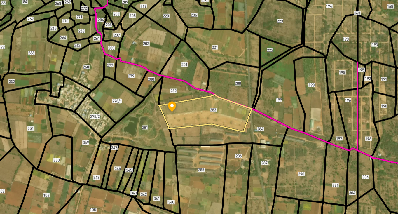
सर्वे नंबर देखेंMaharashtra
के सर्वे नंबर देखें
सीमाएँ और नंबर राज्य के प्रकाशित भू-अभिलेखों से लिए गए हैं। सभी मैप लेयर्स देखें।
Maharashtra में अपनी ज़मीन बेचना चाहते हैं?

Maharashtra में सभी सत्यापित ज़मीन और प्लॉट ब्राउज़ करें
Maharashtra में और लेयर्स
सभी 61 लेयर्स देखें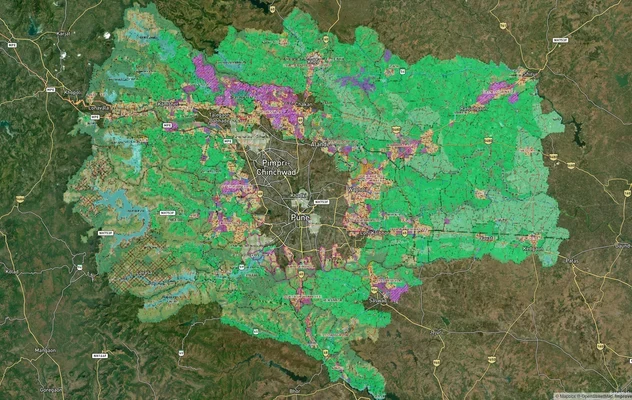
PMRDA मास्टरप्लान: पुणे मेट्रोपॉलिटन रीजन ज़ोन चेक
1acre.in पर PMRDA मास्टरप्लान को लाइव मैप ओवरले के रूप में देखें – किसी भी प्लॉट का लैंड यूज़ ज़ोन मुफ़्त में चेक करें. ...
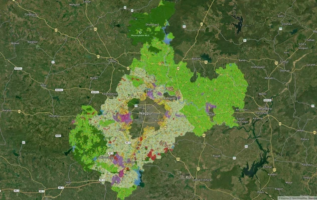
नागपुर मास्टरप्लान 2032: ज़ोन चेक और लैंड यूज़ गाइड
1acre.in पर नागपुर मास्टरप्लान को लाइव मैप ओवरले के रूप में देखें – किसी भी प्लॉट का लैंड यूज़ ज़ोन मुफ़्त में चेक करें....
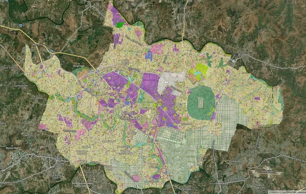
पिंपरी चिंचवड PCMC मास्टर प्लान: ज़ोन चेक और लैंड यूज़ गाइड
पिंपरी चिंचवड मास्टर प्लान को लाइव मैप ओवरले के रूप में देखें – 1acre.in पर किसी भी प्लॉट का लैंड यूज़ ज़ोन मुफ़्त में च...
Maharashtra में और लेयर्स
PMRDA मास्टरप्लान: पुणे मेट्रोपॉलिटन रीजन ज़ोन चेक
1acre.in पर PMRDA मास्टरप्लान को लाइव मैप ओवरले के रूप में देखें – किसी भी प्लॉट का लैंड यूज़ ज़ोन मुफ़्त में चेक करें. ...
नागपुर मास्टरप्लान 2032: ज़ोन चेक और लैंड यूज़ गाइड
1acre.in पर नागपुर मास्टरप्लान को लाइव मैप ओवरले के रूप में देखें – किसी भी प्लॉट का लैंड यूज़ ज़ोन मुफ़्त में चेक करें....
पिंपरी चिंचवड PCMC मास्टर प्लान: ज़ोन चेक और लैंड यूज़ गाइड
पिंपरी चिंचवड मास्टर प्लान को लाइव मैप ओवरले के रूप में देखें – 1acre.in पर किसी भी प्लॉट का लैंड यूज़ ज़ोन मुफ़्त में च...